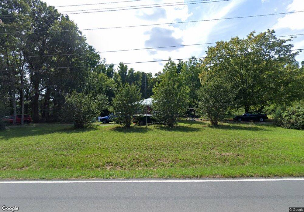
767 Trollingwood Rd Haw River, NC 27258
Estimated Value: $167,000 - $243,000
3
Beds
1
Bath
1,080
Sq Ft
$182/Sq Ft
Est. Value
About This Home
This home is located at 767 Trollingwood Rd, Haw River, NC 27258 and is currently estimated at $196,468, approximately $181 per square foot. 767 Trollingwood Rd is a home located in Alamance County with nearby schools including Garrett Elementary School, Hawfields Middle School, and Alamance Community School.
Ownership History
Date
Name
Owned For
Owner Type
Purchase Details
Closed on
Nov 20, 2014
Sold by
Corbett Tara
Bought by
Whitney David R
Current Estimated Value
Home Financials for this Owner
Home Financials are based on the most recent Mortgage that was taken out on this home.
Original Mortgage
$44,000
Outstanding Balance
$33,903
Interest Rate
4.16%
Mortgage Type
New Conventional
Estimated Equity
$162,565
Purchase Details
Closed on
Sep 10, 1999
Sold by
Hall Ruth B
Bought by
Cannon Eric R
Home Financials for this Owner
Home Financials are based on the most recent Mortgage that was taken out on this home.
Original Mortgage
$79,050
Interest Rate
7.73%
Create a Home Valuation Report for This Property
The Home Valuation Report is an in-depth analysis detailing your home's value as well as a comparison with similar homes in the area
Home Values in the Area
Average Home Value in this Area
Purchase History
| Date | Buyer | Sale Price | Title Company |
|---|---|---|---|
| Whitney David R | $55,000 | -- | |
| Cannon Eric R | $77,500 | -- |
Source: Public Records
Mortgage History
| Date | Status | Borrower | Loan Amount |
|---|---|---|---|
| Open | Whitney David R | $44,000 | |
| Previous Owner | Cannon Eric R | $79,050 |
Source: Public Records
Tax History Compared to Growth
Tax History
| Year | Tax Paid | Tax Assessment Tax Assessment Total Assessment is a certain percentage of the fair market value that is determined by local assessors to be the total taxable value of land and additions on the property. | Land | Improvement |
|---|---|---|---|---|
| 2025 | $971 | $104,002 | $31,389 | $72,613 |
| 2024 | $945 | $104,002 | $31,389 | $72,613 |
| 2023 | $902 | $104,002 | $31,389 | $72,613 |
| 2022 | $1,002 | $78,706 | $37,372 | $41,334 |
| 2021 | $1,010 | $78,706 | $37,372 | $41,334 |
| 2020 | $1,018 | $78,706 | $37,372 | $41,334 |
| 2019 | $905 | $78,706 | $37,372 | $41,334 |
| 2018 | $0 | $78,706 | $37,372 | $41,334 |
| 2017 | $830 | $78,706 | $37,372 | $41,334 |
| 2016 | $869 | $81,937 | $37,372 | $44,565 |
| 2015 | $867 | $82,218 | $37,372 | $44,846 |
| 2014 | $826 | $82,218 | $37,372 | $44,846 |
Source: Public Records
Map
Nearby Homes
- VL Trollingwood Rd
- 470 Fran Dr
- Cameron Plan at Lawson Townes
- 1420 Haywood St
- 468 Fran Dr
- 464 Fran Dr
- 462 Fran Dr
- 460 Fran Dr
- 635 Black Angus Dr
- 1760 Post Oak Dr
- 834 Stone St
- 317 Single Tree Cir
- 119 S Spray St
- 908 Jimmie Kerr Rd
- 0 Jimmie Kerr Rd Unit 10127526
- at Old Fields
- CALI Plan at Old Fields
- WILMINGTON Plan at Old Fields
- Alec Plan at Old Fields
- COLUMBIA Plan at Old Fields
- 770 Trollingwood Rd
- 751 Trollingwood Rd
- 802 Trollingwood Rd
- 828 Trollingwood Rd
- 752 Jimmie Kerr Rd
- 760 Jimmie Kerr Rd
- 768 Jimmie Kerr Rd
- 720 Jimmie Kerr Rd
- 0 Jimmie Kerr Rd Unit 1014006
- 0 Jimmie Kerr Rd Unit 83452
- 0 Jimmie Kerr Rd Unit 79009
- 0 Jimmie Kerr Rd Unit 710706
- 0 Jimmie Kerr Rd Unit 1754151
- 0 Jimmie Kerr Rd Unit 1696172
- 0 Jimmie Kerr Rd Unit 41382
- 0 Jimmie Kerr Rd Unit 56366
- 0 Jimmie Kerr Rd Unit 576476
- 0 Jimmie Kerr Rd Unit 576480
- 0 Jimmie Kerr Rd Unit 581681
- 0 Jimmie Kerr Rd Unit 845062