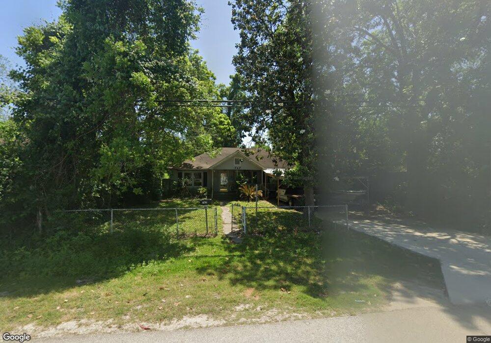
767 W Rittenhouse Rd Houston, TX 77091
Acres Homes NeighborhoodEstimated Value: $218,000
3
Beds
1
Bath
2,349
Sq Ft
$93/Sq Ft
Est. Value
About This Home
This home is located at 767 W Rittenhouse Rd, Houston, TX 77091 and is currently estimated at $218,000, approximately $92 per square foot. 767 W Rittenhouse Rd is a home located in Harris County with nearby schools including Wesley Elementary School, Williams Middle, and Booker T Washington Sr High.
Ownership History
Date
Name
Owned For
Owner Type
Purchase Details
Closed on
Jul 9, 1999
Sold by
Greater New Hope Baptist Church
Bought by
Robinson Raymond Earl
Current Estimated Value
Purchase Details
Closed on
May 1, 1999
Sold by
Robinson Raymond Earl
Bought by
Greater New Hope Baptist Church
Purchase Details
Closed on
Mar 7, 1995
Sold by
Robinson Ronald and Robinson Ronnie
Bought by
Robinson Raymond Earl
Create a Home Valuation Report for This Property
The Home Valuation Report is an in-depth analysis detailing your home's value as well as a comparison with similar homes in the area
Home Values in the Area
Average Home Value in this Area
Purchase History
| Date | Buyer | Sale Price | Title Company |
|---|---|---|---|
| Robinson Raymond Earl | -- | Commonwealth Title | |
| Greater New Hope Baptist Church | -- | Commonwealth Title | |
| Robinson Raymond Earl | -- | -- | |
| Robinson Raymond Earl | -- | -- |
Source: Public Records
Tax History Compared to Growth
Tax History
| Year | Tax Paid | Tax Assessment Tax Assessment Total Assessment is a certain percentage of the fair market value that is determined by local assessors to be the total taxable value of land and additions on the property. | Land | Improvement |
|---|---|---|---|---|
| 2025 | $1,718 | $153,801 | $105,309 | $48,492 |
| 2024 | $1,718 | $153,801 | $105,309 | $48,492 |
| 2023 | $1,718 | $153,801 | $105,309 | $48,492 |
| 2022 | $1,707 | $123,372 | $82,192 | $41,180 |
| 2021 | $1,642 | $102,619 | $51,370 | $51,249 |
| 2020 | $1,551 | $77,210 | $26,712 | $50,498 |
| 2019 | $1,474 | $60,772 | $10,274 | $50,498 |
| 2018 | $0 | $52,943 | $10,274 | $42,669 |
| 2017 | $1,339 | $52,943 | $10,274 | $42,669 |
| 2016 | $1,287 | $52,943 | $10,274 | $42,669 |
| 2015 | $27 | $46,283 | $10,274 | $36,009 |
| 2014 | $27 | $46,283 | $10,274 | $36,009 |
Source: Public Records
Map
Nearby Homes
- 775 Rittenhouse St
- 747 W Rittenhouse Rd
- 7014 De Priest St
- 741 Granville Dr
- 6220 De Priest St
- 862 Granville Dr
- 859 W Rittenhouse St
- 748 Millville Dr
- 814 Granville Dr
- 740 Millville Dr
- 715 W Rittenhouse Rd
- 824 W Rittenhouse St
- 0 Lovers Ln Unit 36585920
- 855 W Little York Rd
- 834 Green Meadow Ln
- 872 Granville Dr
- 899 W Little York Rd
- 0 De Priest St Unit 66567963
- 843 Lovers Ln
- 833 Rosie St
- 771 W Rittenhouse Rd
- 763 W Rittenhouse Rd
- 773 W Rittenhouse Rd
- 775 W Rittenhouse St
- 755 W Rittenhouse Rd
- 760 Rittenhouse Rd
- 780 Granville Dr
- 766 W Rittenhouse Rd
- 783 W Rittenhouse Rd
- 772 W Rittenhouse Rd
- 778 W Rittenhouse Rd
- 782 Granville Dr
- 756 W Rittenhouse Rd
- 769 & 771 Granville St
- 769 Granville Dr
- 785 W Rittenhouse Rd
- 784 Granville Dr
- 780 W Rittenhouse Rd
- 780 W Rittenhouse St
- 748 W Rittenhouse Rd