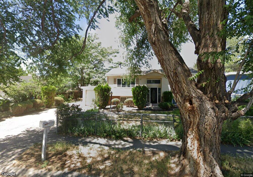
7672 Uranium Dr West Jordan, UT 84084
Estimated Value: $455,854 - $502,000
4
Beds
2
Baths
987
Sq Ft
$477/Sq Ft
Est. Value
About This Home
This home is located at 7672 Uranium Dr, West Jordan, UT 84084 and is currently estimated at $470,964, approximately $477 per square foot. 7672 Uranium Dr is a home located in Salt Lake County with nearby schools including Majestic Elementary Arts Academy, West Jordan Middle School, and West Jordan High School.
Ownership History
Date
Name
Owned For
Owner Type
Purchase Details
Closed on
Apr 15, 2015
Sold by
Ainge George R and Miyasato Leesa S
Bought by
Andrews Jessie R and Andrews Mark W
Current Estimated Value
Home Financials for this Owner
Home Financials are based on the most recent Mortgage that was taken out on this home.
Original Mortgage
$196,910
Outstanding Balance
$151,364
Interest Rate
3.7%
Mortgage Type
New Conventional
Estimated Equity
$319,600
Purchase Details
Closed on
Oct 25, 2007
Sold by
Wilkin Josephine
Bought by
Ainge George R and Miyasato Leesa S
Home Financials for this Owner
Home Financials are based on the most recent Mortgage that was taken out on this home.
Original Mortgage
$153,000
Interest Rate
6.29%
Mortgage Type
Purchase Money Mortgage
Purchase Details
Closed on
Dec 16, 2005
Sold by
Mckinley Tulili Gladys and Simpson Tulili S
Bought by
Wilkin Josephine
Create a Home Valuation Report for This Property
The Home Valuation Report is an in-depth analysis detailing your home's value as well as a comparison with similar homes in the area
Home Values in the Area
Average Home Value in this Area
Purchase History
| Date | Buyer | Sale Price | Title Company |
|---|---|---|---|
| Andrews Jessie R | -- | Bonneville Superior Title | |
| Ainge George R | -- | None Available | |
| Wilkin Josephine | -- | Monument Title Ins Co |
Source: Public Records
Mortgage History
| Date | Status | Borrower | Loan Amount |
|---|---|---|---|
| Open | Andrews Jessie R | $196,910 | |
| Closed | Ainge George R | $153,000 |
Source: Public Records
Tax History
| Year | Tax Paid | Tax Assessment Tax Assessment Total Assessment is a certain percentage of the fair market value that is determined by local assessors to be the total taxable value of land and additions on the property. | Land | Improvement |
|---|---|---|---|---|
| 2025 | $2,102 | $434,800 | $137,400 | $297,400 |
| 2024 | $2,102 | $404,400 | $126,500 | $277,900 |
| 2023 | $2,089 | $378,800 | $121,600 | $257,200 |
| 2022 | $2,195 | $391,500 | $119,300 | $272,200 |
| 2021 | $1,881 | $305,400 | $91,600 | $213,800 |
| 2020 | $1,822 | $277,700 | $79,200 | $198,500 |
| 2019 | $1,792 | $267,800 | $79,200 | $188,600 |
| 2016 | $1,427 | $197,800 | $75,700 | $122,100 |
Source: Public Records
Map
Nearby Homes
- 2169 W 7600 S
- 2162 Westfield Cir
- 1829 W 7600 S Unit G303
- 1813 W 7600 S Unit F103
- 1817 W 7600 S Unit I204
- 7638 S Redwood Rd Unit 11
- 7693 S Redwood Rd
- 1678 W Leland Dr
- 2023 W Friar Way
- 1736 W Drake Ln Unit 1
- 2412 Silver Meadow Way
- 2178 W Arthur Dr
- 7265 S 1975 W
- 7279 S Kenadi Ct
- 7725 S Alida Dr
- 2329 Henry Alice Ct
- 7700 S 1530 W
- 7588 S 1520 W
- 2573 Jordan Meadows Ln
- 2487 W Lusterpointe Ln
- 7672 S Uranium Dr
- 7658 Uranium Dr
- 7658 S Uranium Dr
- 7684 Uranium Dr
- 7684 S Uranium Dr
- 7677 Keelcrest Dr
- 2041 Coppergate Cir
- 2033 Coppergate Cir
- 7671 S Uranium Dr
- 7671 Uranium Dr
- 7671 S 2030 W
- 2042 W 7705 S
- 7683 Uranium Dr
- 7655 Uranium Dr
- 2050 W 7705 S
- 7675 Keelcrest Dr
- 2053 W Coppergate Cir
- 2053 Coppergate Cir
- 7673 S Bilbo Ave
- 7673 Bilbo Ave
Your Personal Tour Guide
Ask me questions while you tour the home.