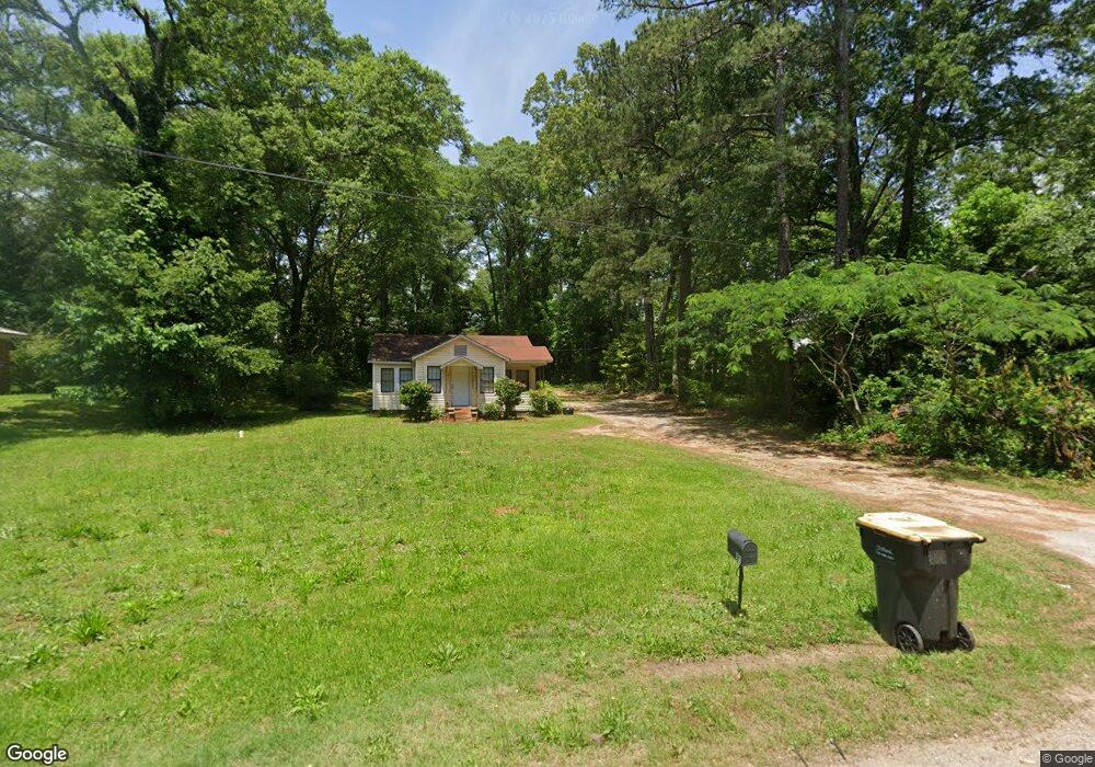
7672 Wells St Senoia, GA 30276
Estimated Value: $234,413 - $301,000
2
Beds
1
Bath
978
Sq Ft
$274/Sq Ft
Est. Value
About This Home
This home is located at 7672 Wells St, Senoia, GA 30276 and is currently estimated at $268,138, approximately $274 per square foot. 7672 Wells St is a home located in Coweta County with nearby schools including Eastside Elementary School, East Coweta Middle School, and East Coweta High School.
Ownership History
Date
Name
Owned For
Owner Type
Purchase Details
Closed on
Nov 17, 2010
Sold by
Fox Emily M
Bought by
Fox Family Trust
Current Estimated Value
Purchase Details
Closed on
Mar 22, 2004
Sold by
Fox Emily M
Bought by
Schaffer Elaine F and Schaffer Harry M
Purchase Details
Closed on
Sep 29, 1992
Bought by
Fox Thomas A and Fox Emily
Purchase Details
Closed on
Feb 20, 1992
Bought by
Bass Paul and Bass James A
Purchase Details
Closed on
Dec 31, 1975
Bought by
Humphrey John B
Create a Home Valuation Report for This Property
The Home Valuation Report is an in-depth analysis detailing your home's value as well as a comparison with similar homes in the area
Home Values in the Area
Average Home Value in this Area
Purchase History
| Date | Buyer | Sale Price | Title Company |
|---|---|---|---|
| Fox Family Trust | -- | -- | |
| Schaffer Elaine F | -- | -- | |
| Fox Thomas A | $44,000 | -- | |
| Bass Paul | $35,200 | -- | |
| Humphrey John B | $13,500 | -- |
Source: Public Records
Tax History Compared to Growth
Tax History
| Year | Tax Paid | Tax Assessment Tax Assessment Total Assessment is a certain percentage of the fair market value that is determined by local assessors to be the total taxable value of land and additions on the property. | Land | Improvement |
|---|---|---|---|---|
| 2024 | $1,860 | $66,916 | $45,000 | $21,916 |
| 2023 | $1,860 | $66,784 | $45,000 | $21,784 |
| 2022 | $1,670 | $57,158 | $38,040 | $19,118 |
| 2021 | $1,754 | $55,369 | $38,040 | $17,329 |
| 2020 | $1,661 | $60,546 | $38,040 | $22,506 |
| 2019 | $1,073 | $30,029 | $12,848 | $17,181 |
| 2018 | $1,078 | $30,029 | $12,848 | $17,181 |
| 2017 | $1,084 | $30,029 | $12,848 | $17,181 |
| 2016 | $1,082 | $30,029 | $12,848 | $17,181 |
| 2015 | $1,066 | $30,029 | $12,848 | $17,181 |
| 2014 | $893 | $25,211 | $8,030 | $17,181 |
Source: Public Records
Map
Nearby Homes
- 71 Lower Creek Trail
- 103 Morgan St
- 126 Morgan St
- 124 Morgan St
- 0 Quick Dr Unit 10555827
- 271 Bridge St
- 0 Johnson St Unit 10612656
- 1978 Luther Bailey Rd
- 351 Seavy St
- 260 Willow Dell Dr
- 90 Howard Rd
- 375 Luther Bailey Rd
- 44 Standing Rock Rd
- 146 Middle St
- 374 Luther Bailey Rd
- 220 Johnson St
- 46 Horseshoe Bend Way
- 36 Cumberland Trail
- 35 Millwalk Dr
- 0 Coweta St Unit 10555038
- 7662 Wells St
- 7688 Wells St
- 45 Morgan St Unit D
- 7688 E Highway 16
- 7696 Highway 16 Wells St
- 7640 Wells St
- 43 Morgan St Unit C
- 7706 Wells St
- 205 Pylant St
- 7630 Wells St
- 187 Pylant St
- 199 Pylant St
- 225 Pylant St
- 175 Pylant St
- 239 Pylant St
- 163 Pylant St
- 31 Morgan St
- 31 Morgan St Unit 2
- 19 Morgan St
- 101 Lower Creek Trail Unit 61