7673 Matznick Rd Prophetstown, IL 61277
Estimated Value: $234,000 - $547,446
--
Bed
--
Bath
--
Sq Ft
9.19
Acres
About This Home
This home is located at 7673 Matznick Rd, Prophetstown, IL 61277 and is currently estimated at $378,482. 7673 Matznick Rd is a home located in Whiteside County with nearby schools including Prophetstown High School.
Ownership History
Date
Name
Owned For
Owner Type
Purchase Details
Closed on
Feb 25, 2019
Sold by
Olsen Robert D and Olsen Paula C
Bought by
Paula C Olsen T
Current Estimated Value
Purchase Details
Closed on
Dec 1, 2008
Sold by
Sweeney Wilbur E
Bought by
Olsen Robert D and Olsen Paula C
Home Financials for this Owner
Home Financials are based on the most recent Mortgage that was taken out on this home.
Original Mortgage
$230,000
Interest Rate
6.48%
Mortgage Type
Future Advance Clause Open End Mortgage
Purchase Details
Closed on
May 9, 2006
Sold by
Sweeney Wilbur E and Sweeney Marcia L
Bought by
Sweeney Wilbur E and The Wilbur E Sweeney Revocable Living Tr
Create a Home Valuation Report for This Property
The Home Valuation Report is an in-depth analysis detailing your home's value as well as a comparison with similar homes in the area
Home Values in the Area
Average Home Value in this Area
Purchase History
| Date | Buyer | Sale Price | Title Company |
|---|---|---|---|
| Paula C Olsen T | -- | -- | |
| Olsen Robert D | $230,000 | None Available | |
| Sweeney Wilbur E | -- | None Available |
Source: Public Records
Mortgage History
| Date | Status | Borrower | Loan Amount |
|---|---|---|---|
| Previous Owner | Olsen Robert D | $230,000 |
Source: Public Records
Tax History Compared to Growth
Tax History
| Year | Tax Paid | Tax Assessment Tax Assessment Total Assessment is a certain percentage of the fair market value that is determined by local assessors to be the total taxable value of land and additions on the property. | Land | Improvement |
|---|---|---|---|---|
| 2024 | $10,658 | $156,139 | $17,435 | $138,704 |
| 2023 | $9,508 | $142,268 | $15,886 | $126,382 |
| 2022 | $9,034 | $133,322 | $14,887 | $118,435 |
| 2021 | $9,023 | $132,382 | $14,782 | $117,600 |
| 2020 | $9,135 | $129,267 | $14,434 | $114,833 |
| 2019 | $8,900 | $126,521 | $14,127 | $112,394 |
| 2018 | $8,906 | $127,438 | $14,229 | $113,209 |
| 2017 | $9,109 | $121,415 | $12,925 | $108,490 |
| 2016 | $8,992 | $115,579 | $12,304 | $103,275 |
| 2015 | $9,064 | $116,761 | $12,429 | $104,332 |
| 2014 | $8,452 | $112,861 | $12,014 | $100,847 |
| 2013 | $9,064 | $116,761 | $12,429 | $104,332 |
Source: Public Records
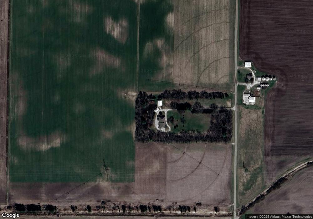
Map
Nearby Homes
- 000 Felton Rd
- 18521 Anderson Rd
- 340 Tree Ln
- 8449 Hickory Hills Rd
- 000 Como Rd
- 502 3rd St W
- 622 Woodlawn Dr
- 503 Sunset Dr
- 24839 Indian Ridge Rd
- 705 W Commercial St
- 26930 Madlyn Dr
- 300 & 300 1/2 4th Ave
- 0 Hills Acres Lot 11 Unit MRD12388261
- 000 Jersey Rd
- 0000 Jersey Rd
- 45 Locust St
- 25689 Jersey Rd
- 607 Washington St
- 605 Washington St
- 609 Washington St