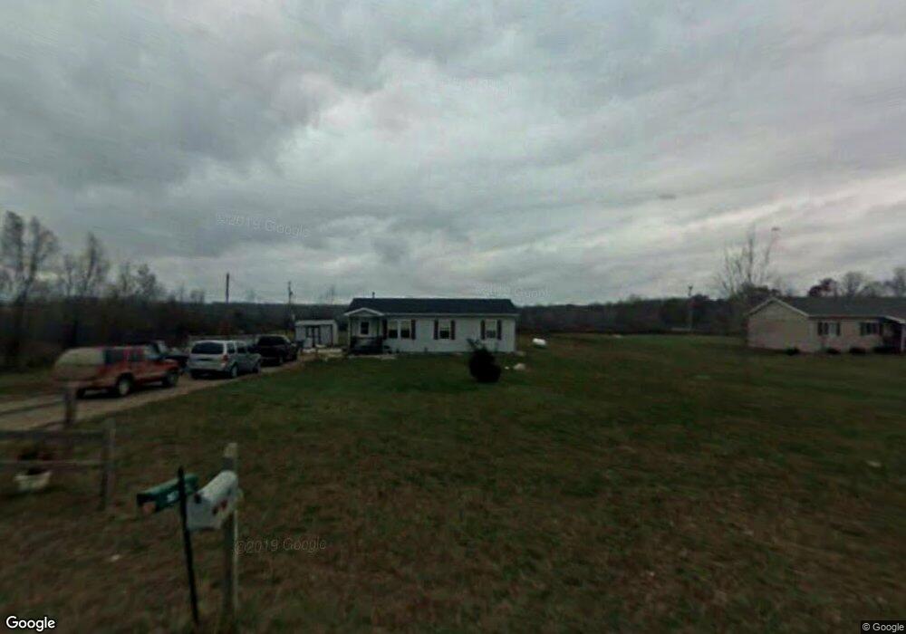
7673 N Wacousta Rd Fowler, MI 48835
Estimated Value: $179,341 - $264,000
3
Beds
2
Baths
1,568
Sq Ft
$133/Sq Ft
Est. Value
About This Home
This home is located at 7673 N Wacousta Rd, Fowler, MI 48835 and is currently estimated at $208,335, approximately $132 per square foot. 7673 N Wacousta Rd is a home located in Clinton County with nearby schools including Fulton Elementary School, Fulton Middle School, and Fulton High School.
Ownership History
Date
Name
Owned For
Owner Type
Purchase Details
Closed on
Jul 21, 2005
Sold by
Habitat For Humanity Of Clinton County
Bought by
Patterson Charles and Patterson Amy
Current Estimated Value
Home Financials for this Owner
Home Financials are based on the most recent Mortgage that was taken out on this home.
Original Mortgage
$93,000
Outstanding Balance
$29,144
Interest Rate
5.74%
Mortgage Type
Seller Take Back
Estimated Equity
$179,191
Create a Home Valuation Report for This Property
The Home Valuation Report is an in-depth analysis detailing your home's value as well as a comparison with similar homes in the area
Home Values in the Area
Average Home Value in this Area
Purchase History
| Date | Buyer | Sale Price | Title Company |
|---|---|---|---|
| Patterson Charles | $93,000 | Fatic |
Source: Public Records
Mortgage History
| Date | Status | Borrower | Loan Amount |
|---|---|---|---|
| Open | Patterson Charles | $93,000 |
Source: Public Records
Tax History Compared to Growth
Tax History
| Year | Tax Paid | Tax Assessment Tax Assessment Total Assessment is a certain percentage of the fair market value that is determined by local assessors to be the total taxable value of land and additions on the property. | Land | Improvement |
|---|---|---|---|---|
| 2025 | $999 | $80,300 | $14,100 | $66,200 |
| 2024 | $473 | $74,700 | $11,500 | $63,200 |
| 2023 | $448 | $66,900 | $0 | $0 |
| 2022 | $929 | $59,900 | $10,100 | $49,800 |
| 2021 | $904 | $54,500 | $9,000 | $45,500 |
| 2020 | $790 | $51,200 | $8,000 | $43,200 |
| 2019 | $743 | $45,700 | $7,500 | $38,200 |
| 2018 | $725 | $43,400 | $7,500 | $35,900 |
| 2017 | -- | $43,800 | $7,500 | $36,300 |
| 2016 | $704 | $43,200 | $7,800 | $35,400 |
| 2015 | -- | $37,700 | $0 | $0 |
| 2011 | -- | $38,100 | $0 | $0 |
Source: Public Records
Map
Nearby Homes
- 209 W Adelaide St
- 129 E Main St
- TBD E Main St
- 7240 Empire Rd
- 8150 Idared Rd
- 8095 Mcintosh Rd
- 7757 N Forest Hill Rd
- 9515 W Moss Rd
- 5100 Rainbow Lake Rd
- 4813 Lakeside Dr
- 005 Skyline Dr
- 17 Skyline Dr
- 0 Thornapple Unit 292765
- 10245 Lakeside Dr
- 159 Hardwood Trail
- TBD Oakridge Trail Unit 273
- TBD Oakridge Trail Unit 274
- TBD Oakridge Trail
- Lot 355 Oakridge Trail
- 10015 Lakeside Dr
- 7475 N Wacousta Rd
- 9170 W Hyde Rd
- 7789 N Wacousta Rd
- 7839 N Wacousta Rd
- 9080 W Maple Rapids Rd
- 7900 N Wacousta Rd
- 8845 W Hyde Rd
- 521 W Main St
- 517 W Main St
- 9038 W Maple Rapids Rd
- 540 S Poplar St
- 511 W Main St
- 510 W Main St
- 505 W Main St
- 0 W Main St Unit 81013
- 8880 W Hyde Rd
- 549 Poplar St
- 607 Poplar St
- 210 W South St
- 617 Poplar St