7674 Michael Rd Sanger, TX 76266
Estimated Value: $615,000 - $827,600
5
Beds
3
Baths
2,822
Sq Ft
$251/Sq Ft
Est. Value
About This Home
This home is located at 7674 Michael Rd, Sanger, TX 76266 and is currently estimated at $708,533, approximately $251 per square foot. 7674 Michael Rd is a home located in Denton County with nearby schools including Chisholm Trail Elementary School, Clear Creek Intermediate School, and Sanger Sixth Grade Campus.
Ownership History
Date
Name
Owned For
Owner Type
Purchase Details
Closed on
Jun 26, 2012
Sold by
Shirley John T and Shirley Marian
Bought by
Brincks Emory A and Brincks Douglas J
Current Estimated Value
Home Financials for this Owner
Home Financials are based on the most recent Mortgage that was taken out on this home.
Original Mortgage
$249,350
Outstanding Balance
$173,178
Interest Rate
3.8%
Mortgage Type
New Conventional
Estimated Equity
$535,355
Create a Home Valuation Report for This Property
The Home Valuation Report is an in-depth analysis detailing your home's value as well as a comparison with similar homes in the area
Home Values in the Area
Average Home Value in this Area
Purchase History
| Date | Buyer | Sale Price | Title Company |
|---|---|---|---|
| Brincks Emory A | -- | Fatco |
Source: Public Records
Mortgage History
| Date | Status | Borrower | Loan Amount |
|---|---|---|---|
| Open | Brincks Emory A | $249,350 |
Source: Public Records
Tax History Compared to Growth
Tax History
| Year | Tax Paid | Tax Assessment Tax Assessment Total Assessment is a certain percentage of the fair market value that is determined by local assessors to be the total taxable value of land and additions on the property. | Land | Improvement |
|---|---|---|---|---|
| 2025 | $6,396 | $635,650 | $429,737 | $326,698 |
| 2024 | $7,843 | $577,864 | $0 | $0 |
| 2023 | $6,008 | $525,331 | $429,737 | $438,727 |
| 2022 | $7,921 | $477,574 | $197,930 | $349,523 |
| 2021 | $6,335 | $434,158 | $127,055 | $307,103 |
| 2020 | $6,578 | $418,703 | $127,055 | $291,648 |
| 2019 | $6,900 | $421,570 | $127,055 | $294,515 |
| 2018 | $6,532 | $396,119 | $127,055 | $269,064 |
| 2017 | $6,345 | $382,112 | $127,055 | $255,057 |
| 2016 | $5,413 | $325,983 | $95,076 | $230,907 |
| 2015 | $4,626 | $307,962 | $95,076 | $212,886 |
| 2013 | -- | $256,844 | $95,076 | $161,768 |
Source: Public Records
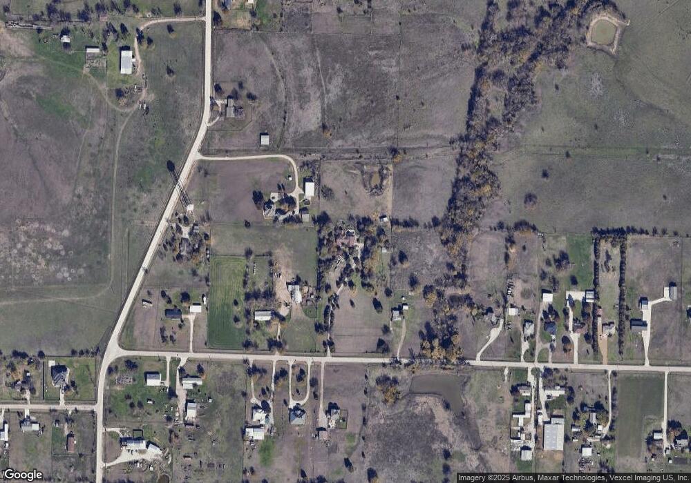
Map
Nearby Homes
- 9191 Lamar St
- 7236 Davidson Rd
- 8167 Houston
- 6568 Michael Rd
- 14158 Crest View Rd
- 6400 Ridgerock Dr
- 8875 Fm 2450
- 6501 Indian Trail
- 6048 Mango Dr
- 6044 Mango Dr
- 8774 Kassandra Dr
- 8636 Kassandra Dr
- TBD Michael Rd
- 6552 Private Rd 6601
- . Fm 2450 & Indian Trail
- 6033 Mango Dr
- 8751 Kassandra Dr
- 6221 Deer Run Rd
- 6713 Mustang Trail
- TBD Hawkeye Rd
- 9090 Indian Trail
- 7610 Michael Rd
- 7720 Michael Rd
- 7498 Michael Rd
- 9024 Indian Trail
- 7675 Michael Rd
- 7675 Michael Rd
- 7796 Michael Rd
- 7701 Michael Rd
- 7504 Michael Rd
- 7747 Michael Rd
- 7470 Michael Rd
- 7493 Michael Rd
- 7767 Davidson Rd
- 9238 Indian Trail
- 7483 Michael Rd
- 7717 Davidson Rd
- 7424 Michael Rd
- 9268 Indian Trail
- 8788 Indian Trail