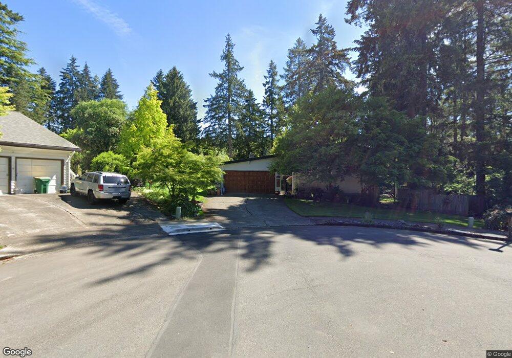
7675 SW 142nd Ct Beaverton, OR 97008
Highland NeighborhoodEstimated Value: $649,000 - $681,000
4
Beds
3
Baths
2,272
Sq Ft
$292/Sq Ft
Est. Value
About This Home
This home is located at 7675 SW 142nd Ct, Beaverton, OR 97008 and is currently estimated at $664,230, approximately $292 per square foot. 7675 SW 142nd Ct is a home located in Washington County with nearby schools including Fir Grove Elementary School, Highland Park Middle School, and Southridge High School.
Ownership History
Date
Name
Owned For
Owner Type
Purchase Details
Closed on
Jun 9, 2009
Sold by
Hinrichs Diana and Prasad Prayag
Bought by
Mccloud Oconnor Carol S
Current Estimated Value
Home Financials for this Owner
Home Financials are based on the most recent Mortgage that was taken out on this home.
Original Mortgage
$116,000
Outstanding Balance
$72,857
Interest Rate
4.82%
Mortgage Type
Unknown
Estimated Equity
$591,373
Purchase Details
Closed on
Jan 14, 2009
Sold by
Isaacs Julianna K and Isaacs Steven G
Bought by
Hinrichs Diana and Prasad Prayag
Purchase Details
Closed on
May 26, 2006
Sold by
Sutton Alvin R and Sutton Sohee Y
Bought by
Isaacs Steven G and Isaacs Julianna K
Home Financials for this Owner
Home Financials are based on the most recent Mortgage that was taken out on this home.
Original Mortgage
$276,000
Interest Rate
6.87%
Mortgage Type
Unknown
Create a Home Valuation Report for This Property
The Home Valuation Report is an in-depth analysis detailing your home's value as well as a comparison with similar homes in the area
Home Values in the Area
Average Home Value in this Area
Purchase History
| Date | Buyer | Sale Price | Title Company |
|---|---|---|---|
| Mccloud Oconnor Carol S | $316,000 | Chicago Title Insurance Co | |
| Hinrichs Diana | $230,000 | None Available | |
| Isaacs Steven G | $345,000 | Lawyers Title Ins |
Source: Public Records
Mortgage History
| Date | Status | Borrower | Loan Amount |
|---|---|---|---|
| Open | Mccloud Oconnor Carol S | $116,000 | |
| Previous Owner | Isaacs Steven G | $276,000 |
Source: Public Records
Tax History Compared to Growth
Tax History
| Year | Tax Paid | Tax Assessment Tax Assessment Total Assessment is a certain percentage of the fair market value that is determined by local assessors to be the total taxable value of land and additions on the property. | Land | Improvement |
|---|---|---|---|---|
| 2026 | $7,837 | $382,580 | -- | -- |
| 2025 | $7,837 | $371,440 | -- | -- |
| 2024 | $7,037 | $376,020 | -- | -- |
| 2023 | $7,037 | $333,010 | $0 | $0 |
| 2022 | $6,736 | $333,010 | $0 | $0 |
| 2021 | $6,500 | $313,910 | $0 | $0 |
| 2020 | $6,302 | $304,770 | $0 | $0 |
| 2019 | $6,103 | $295,900 | $0 | $0 |
| 2018 | $5,908 | $287,290 | $0 | $0 |
| 2017 | $5,688 | $278,930 | $0 | $0 |
| 2016 | $5,490 | $270,810 | $0 | $0 |
| 2015 | $5,286 | $262,930 | $0 | $0 |
| 2014 | $5,173 | $255,280 | $0 | $0 |
Source: Public Records
Map
Nearby Homes
- 14375 SW Wilson Dr
- 13820 SW Hart Rd
- 7144 SW Murray Blvd Unit 107
- 7116 SW Murray Blvd
- 7135 SW Wilson Ave
- 8100 SW 147th Terrace
- 13525 SW Fircrest Ct
- 13920 SW Secretariet Ln
- 14320 SW Cherryhill Dr
- 13465 SW Lancewood St
- 8225 SW Gearhart Dr
- 6939 SW 148th Ct
- 14350 SW 22nd St
- 7830 SW Murray Blvd
- 13235 SW Barberry Dr
- 14775 SW Citrine Way
- 14770 SW Citrine Way
- 8800 SW 147th Terrace Unit 103
- 14620 SW Davis Rd
- 13850 SW Martingale Ct
- 14195 SW Kimberly Dr
- 7650 SW 142nd Ct
- 14225 SW Kimberly Dr
- 7655 SW 142nd Ct
- 14155 SW Kimberly Dr
- 7570 SW 142nd Ct
- 14275 SW Kimberly Dr
- 7575 SW 142nd Ct
- 7655 SW 141st Ave
- 7625 SW 141st Ave
- 14125 SW Kimberly Dr
- 14200 SW Kimberly Dr
- 14170 SW Kimberly Dr
- 7575 SW 141st Ave
- 7525 SW 142nd Ct
- 14210 SW Kimberly Dr
- 14230 SW Kimberly Dr
- 7520 SW 142nd Ct
- 14355 SW Kimberly Dr
- 14150 SW Kimberly Dr