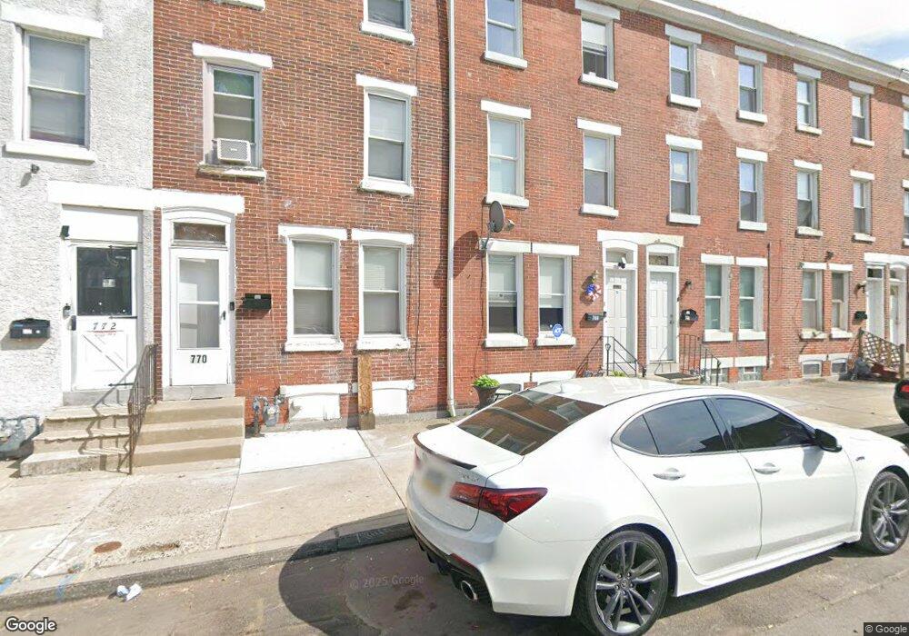
768 Kohn St Norristown, PA 19401
Estimated Value: $137,000 - $191,000
5
Beds
1
Bath
1,596
Sq Ft
$107/Sq Ft
Est. Value
About This Home
This home is located at 768 Kohn St, Norristown, PA 19401 and is currently estimated at $170,494, approximately $106 per square foot. 768 Kohn St is a home located in Montgomery County with nearby schools including Charles Blockson Middle School, Whitehall Elementary School, and East Norriton Middle School.
Ownership History
Date
Name
Owned For
Owner Type
Purchase Details
Closed on
Jul 3, 2008
Sold by
Mulson Andrew F and Mulson Darlene
Bought by
Mulson Andrew F and Mulson Andrew F
Current Estimated Value
Home Financials for this Owner
Home Financials are based on the most recent Mortgage that was taken out on this home.
Original Mortgage
$260,000
Outstanding Balance
$168,582
Interest Rate
6.17%
Estimated Equity
$1,912
Purchase Details
Closed on
Jun 10, 2005
Sold by
Grote George W and Grote Barbara L
Bought by
Mulson Andrew F and Mulson Andrew F
Purchase Details
Closed on
Nov 5, 1998
Sold by
Grote George W
Bought by
Grote George W and Grote Barbara L
Purchase Details
Closed on
Aug 27, 1998
Sold by
Baker Robert E
Bought by
Grote George W
Purchase Details
Closed on
Nov 18, 1996
Sold by
Woolfall Carolyn and Wesler Edith
Bought by
Baker Robert E
Create a Home Valuation Report for This Property
The Home Valuation Report is an in-depth analysis detailing your home's value as well as a comparison with similar homes in the area
Home Values in the Area
Average Home Value in this Area
Purchase History
| Date | Buyer | Sale Price | Title Company |
|---|---|---|---|
| Mulson Andrew F | -- | None Available | |
| Mulson Andrew F | $61,000 | -- | |
| Grote George W | -- | -- | |
| Grote George W | $27,500 | -- | |
| Baker Robert E | $27,500 | -- |
Source: Public Records
Mortgage History
| Date | Status | Borrower | Loan Amount |
|---|---|---|---|
| Open | Mulson Andrew F | $260,000 |
Source: Public Records
Tax History Compared to Growth
Tax History
| Year | Tax Paid | Tax Assessment Tax Assessment Total Assessment is a certain percentage of the fair market value that is determined by local assessors to be the total taxable value of land and additions on the property. | Land | Improvement |
|---|---|---|---|---|
| 2025 | $2,459 | $40,050 | -- | -- |
| 2024 | $2,459 | $40,050 | -- | -- |
| 2023 | $2,437 | $40,050 | $0 | $0 |
| 2022 | $2,384 | $40,050 | $0 | $0 |
| 2021 | $2,372 | $40,050 | $0 | $0 |
| 2020 | $2,263 | $40,050 | $0 | $0 |
| 2019 | $2,222 | $40,050 | $0 | $0 |
| 2018 | $1,479 | $40,050 | $0 | $0 |
| 2017 | $2,040 | $40,050 | $0 | $0 |
| 2016 | $2,025 | $40,050 | $0 | $0 |
| 2015 | $1,940 | $40,050 | $0 | $0 |
| 2014 | $1,940 | $40,050 | $0 | $0 |
Source: Public Records
Map
Nearby Homes
- 809 George St
- 804 George St
- 804 W Elm St Unit 70
- 701 Haws Ave
- 732 Stanbridge St
- 637 Kohn St
- 718 Astor St
- 654 Stanbridge St
- 648 Stanbridge St
- 632 Chain St
- 0 Astor St
- 332 James St
- 905 W Marshall St
- 557 Haws Ave
- 909 Noble St
- 558 Stanbridge St
- 544 Stanbridge St
- 1000 Sterigere St
- 1031 Swede St
- 1016 Thomas Barone St