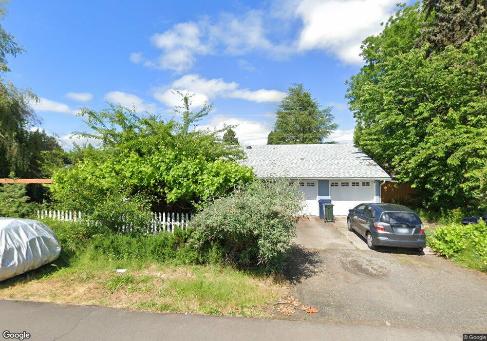
768 Randall St Eugene, OR 97401
Harlow NeighborhoodEstimated Value: $447,000 - $483,000
3
Beds
1
Bath
1,501
Sq Ft
$307/Sq Ft
Est. Value
About This Home
This home is located at 768 Randall St, Eugene, OR 97401 and is currently estimated at $460,383, approximately $306 per square foot. 768 Randall St is a home located in Lane County with nearby schools including Holt Elementary School, Monroe Middle School, and Sheldon High School.
Ownership History
Date
Name
Owned For
Owner Type
Purchase Details
Closed on
Nov 18, 2016
Sold by
Deville Charles and Deville Rhoda
Bought by
Deville Louis and Deville Mandy
Current Estimated Value
Home Financials for this Owner
Home Financials are based on the most recent Mortgage that was taken out on this home.
Original Mortgage
$137,600
Outstanding Balance
$110,172
Interest Rate
3.42%
Mortgage Type
New Conventional
Estimated Equity
$350,211
Purchase Details
Closed on
May 8, 2003
Sold by
Smith Bryant D and Marcusson Lisa M
Bought by
Deville Charles and Deville Rhoda
Purchase Details
Closed on
Jul 7, 1999
Sold by
Lopuson Audrey A
Bought by
Smith Bryant D and Marcusson Lisa M
Home Financials for this Owner
Home Financials are based on the most recent Mortgage that was taken out on this home.
Original Mortgage
$117,370
Interest Rate
7.24%
Create a Home Valuation Report for This Property
The Home Valuation Report is an in-depth analysis detailing your home's value as well as a comparison with similar homes in the area
Home Values in the Area
Average Home Value in this Area
Purchase History
| Date | Buyer | Sale Price | Title Company |
|---|---|---|---|
| Deville Louis | $172,000 | Western Title & Escrow Co | |
| Deville Charles | $158,000 | Fidelity Natl Title Co Of Or | |
| Smith Bryant D | $121,000 | Fidelity National Title Ins |
Source: Public Records
Mortgage History
| Date | Status | Borrower | Loan Amount |
|---|---|---|---|
| Open | Deville Louis | $137,600 | |
| Previous Owner | Smith Bryant D | $117,370 |
Source: Public Records
Tax History
| Year | Tax Paid | Tax Assessment Tax Assessment Total Assessment is a certain percentage of the fair market value that is determined by local assessors to be the total taxable value of land and additions on the property. | Land | Improvement |
|---|---|---|---|---|
| 2025 | $4,261 | $218,700 | -- | -- |
| 2024 | $4,208 | $212,331 | -- | -- |
| 2023 | $4,208 | $206,147 | $0 | $0 |
| 2022 | $3,942 | $200,143 | $0 | $0 |
| 2021 | $3,703 | $194,314 | $0 | $0 |
| 2020 | $3,716 | $188,655 | $0 | $0 |
| 2019 | $3,589 | $183,161 | $0 | $0 |
| 2018 | $3,378 | $172,648 | $0 | $0 |
| 2017 | $3,197 | $172,648 | $0 | $0 |
| 2016 | $3,054 | $167,619 | $0 | $0 |
| 2015 | $2,928 | $162,737 | $0 | $0 |
| 2014 | $2,844 | $157,997 | $0 | $0 |
Source: Public Records
Map
Nearby Homes
- 825 Waverly St
- 1038 President St
- 2872 Suffolk Ct
- 2994 Dapple Way
- 3025 Bailey Ln
- 2746 Harlow Rd
- 341 Ransom Ct
- 1270 Calvin St
- 280 Regal Ct
- 600 Cherry Dr Unit 8
- 950 Coburg Rd
- 1271 Arcadia Dr
- 2355 Pioneer Pike
- 3700 Babcock Ln Unit 119
- 3700 Babcock Ln Unit 106
- 446 Kodiak St
- 3579 Oxbow Way
- 3460 Oxbow Way
- 1491 Victorian Way
- 347 Rustic Place Unit 14
Your Personal Tour Guide
Ask me questions while you tour the home.