768 Wilder Rd Vinton, OH 45686
Estimated Value: $197,000 - $403,000
2
Beds
2
Baths
1,444
Sq Ft
$196/Sq Ft
Est. Value
About This Home
This home is located at 768 Wilder Rd, Vinton, OH 45686 and is currently estimated at $282,553, approximately $195 per square foot. 768 Wilder Rd is a home located in Gallia County with nearby schools including Vinton Elementary School.
Ownership History
Date
Name
Owned For
Owner Type
Purchase Details
Closed on
Apr 3, 1996
Sold by
Spradlin Rebecca F
Bought by
Spradlin Rebecca F
Current Estimated Value
Purchase Details
Closed on
Jan 26, 1996
Sold by
Spradlin Edward R
Bought by
Spradlin Rebecca F
Purchase Details
Closed on
Sep 9, 1994
Sold by
Spradlin Charles H
Bought by
Spradlin Charles H
Purchase Details
Closed on
Dec 28, 1992
Sold by
Spradlin Charles H
Bought by
Spradlin Charles H
Purchase Details
Closed on
Mar 30, 1992
Bought by
Spradlin Charles H
Purchase Details
Closed on
Feb 29, 1992
Purchase Details
Closed on
Oct 7, 1991
Sold by
Baromir Ferdinand
Bought by
Spradlin Charles H
Purchase Details
Closed on
Oct 1, 1991
Create a Home Valuation Report for This Property
The Home Valuation Report is an in-depth analysis detailing your home's value as well as a comparison with similar homes in the area
Purchase History
| Date | Buyer | Sale Price | Title Company |
|---|---|---|---|
| Spradlin Rebecca F | $95,000 | -- | |
| Spradlin Rebecca F | -- | -- | |
| Spradlin Charles H | $9,000 | -- | |
| Spradlin Charles H | -- | -- | |
| Spradlin Charles H | $9,900 | -- | |
| -- | $9,900 | -- | |
| Spradlin Charles H | $15,500 | -- | |
| -- | $15,500 | -- |
Source: Public Records
Tax History
| Year | Tax Paid | Tax Assessment Tax Assessment Total Assessment is a certain percentage of the fair market value that is determined by local assessors to be the total taxable value of land and additions on the property. | Land | Improvement |
|---|---|---|---|---|
| 2024 | $1,550 | $55,730 | $17,270 | $38,460 |
| 2023 | $2,090 | $66,680 | $17,270 | $49,410 |
| 2022 | $1,757 | $56,330 | $14,610 | $41,720 |
| 2021 | $1,752 | $56,330 | $14,610 | $41,720 |
| 2020 | $1,752 | $56,330 | $14,610 | $41,720 |
| 2019 | $1,567 | $51,550 | $13,290 | $38,260 |
| 2018 | $1,567 | $51,550 | $13,290 | $38,260 |
| 2017 | $1,586 | $51,550 | $13,290 | $38,260 |
| 2016 | $1,466 | $49,320 | $12,530 | $36,790 |
| 2015 | $1,466 | $49,320 | $12,530 | $36,790 |
| 2013 | $1,481 | $50,700 | $12,530 | $38,170 |
| 2012 | $1,481 | $50,700 | $12,530 | $38,170 |
Source: Public Records
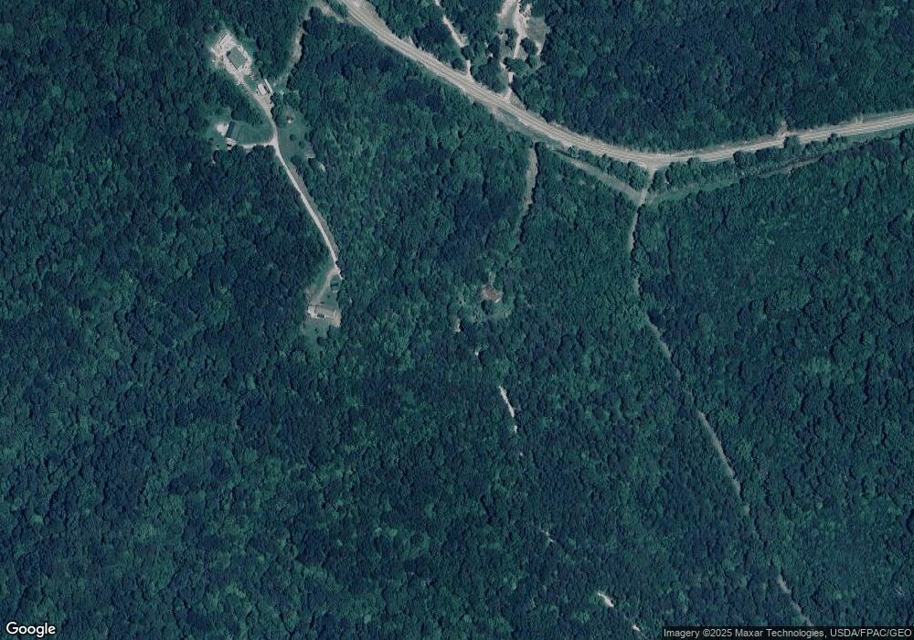
Map
Nearby Homes
- 399 Wilder Rd
- 7710 Bull Run Rd
- 0 Keystone Rd Unit (Racoon Creek Cabin)
- 0 Keystone Rd Unit 25593981
- 1462 Keystone Rd
- 1462 Keystone Rd Unit (Raccoon Creek Adven
- 243 Amby Ln
- 130 Amby Ln
- 206 Airline Rd
- 4346 Mount Tabor Rd
- 9675 Ohio 554
- 14565 Ohio 554
- 31166 Edmundson Rd
- 0 George
- 31661 Molehan Rd
- 31660 Molehan Rd
- 7323 Ohio 160
- 46400 Ohio 160
- 754 Prospect Church Rd
- 0 White Oak Rd
- 13200 Ohio 160
- 13200 State Route 160
- 13305 State Route 160
- 313 Will Rd
- 305 Wilder Rd
- 305 Wilder Rd
- 36 Will Rd
- 313 Wilder Rd
- 299 Wilder Rd
- 13602 State Route 160
- 274 Wilder Rd
- 104 Wilder Rd
- 301 Wilder Rd
- 219 Wilder Rd
- 5393 Morgan Center Rd
- 177 Head Rd
- 5341 Morgan Center Rd
- 12433 State Route 160
- 12283 State Route 160
- 12326 State Route 160
Your Personal Tour Guide
Ask me questions while you tour the home.