7680 Highway 82a Tahlequah, OK 74464
Estimated Value: $227,155 - $341,000
3
Beds
1
Bath
1,776
Sq Ft
$169/Sq Ft
Est. Value
About This Home
This home is located at 7680 Highway 82a, Tahlequah, OK 74464 and is currently estimated at $300,039, approximately $168 per square foot. 7680 Highway 82a is a home located in Cherokee County with nearby schools including Lowrey School.
Ownership History
Date
Name
Owned For
Owner Type
Purchase Details
Closed on
Oct 17, 2023
Sold by
Whipple Brown Stephanie and Whipple Stephanie Crisp
Bought by
Crisp Stephanie
Current Estimated Value
Purchase Details
Closed on
Feb 6, 2007
Sold by
Cole David Allen and Cole Mary
Bought by
Simpson Anthony Scott and Simpson Kelly Lynn
Create a Home Valuation Report for This Property
The Home Valuation Report is an in-depth analysis detailing your home's value as well as a comparison with similar homes in the area
Home Values in the Area
Average Home Value in this Area
Purchase History
| Date | Buyer | Sale Price | Title Company |
|---|---|---|---|
| Crisp Stephanie | -- | None Listed On Document | |
| Crisp Stephanie | -- | None Listed On Document | |
| Simpson Anthony Scott | -- | Tahlequah Abstract Closing S |
Source: Public Records
Tax History Compared to Growth
Tax History
| Year | Tax Paid | Tax Assessment Tax Assessment Total Assessment is a certain percentage of the fair market value that is determined by local assessors to be the total taxable value of land and additions on the property. | Land | Improvement |
|---|---|---|---|---|
| 2025 | $913 | $9,775 | $1,301 | $8,474 |
| 2024 | $882 | $9,310 | $1,239 | $8,071 |
| 2023 | $882 | $8,867 | $1,100 | $7,767 |
| 2022 | $784 | $8,445 | $1,412 | $7,033 |
| 2021 | $749 | $8,043 | $1,345 | $6,698 |
| 2020 | $726 | $7,660 | $1,281 | $6,379 |
| 2019 | $686 | $7,296 | $1,220 | $6,076 |
| 2018 | $661 | $6,949 | $1,162 | $5,787 |
| 2017 | $628 | $6,618 | $572 | $6,046 |
| 2016 | $602 | $6,302 | $1,087 | $5,215 |
| 2015 | $538 | $6,002 | $564 | $5,438 |
| 2014 | $538 | $5,716 | $529 | $5,187 |
Source: Public Records
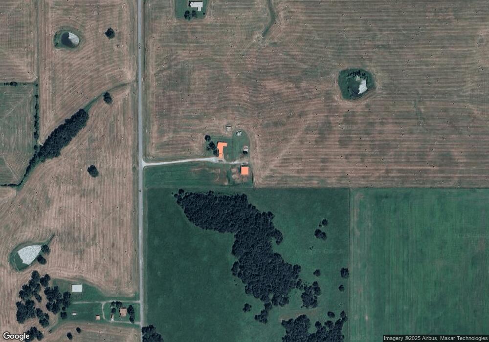
Map
Nearby Homes
- 8195 Hwy 82 A
- 0 N 510 Rd Unit 2543283
- 0 N 510 Rd Unit 2543284
- 0 N 510 Rd Unit 2543190
- 0 N 510 Rd Unit 2547590
- 0 N 510 Rd Unit 2543294
- 0 N 510 Rd Unit 2543293
- 0 N 510 Rd Unit 2546232
- 0 N 510 Rd Unit 2543297
- 00000 E 660 Rd
- 8119 N 544 Rd
- 7002 N 559 Rd
- 9133 Oklahoma 10
- 16246 E 647 Rd
- 4422 Highway 82a
- 17844 E 688 Rd
- 7373 N 485 Rd
- 11077 N Elm Grove Rd
- 14000 Highway 82c
- 11457 N 510 Rd
- 7751 Highway 82a
- 7926 Highway 82a
- 18642 E 650 Rd
- 6711 N 520 Rd
- 6652 N 520 Rd
- 7940 Highway 82a
- 7418 Highway 82a
- 18531 E 650 Rd
- 18816 Highway 82c
- 7989 Highway 82a
- 18866 Highway 82c
- 19312 E 660 Rd
- 18946 Highway 82c
- 18800 Highway 82c
- 19235 E 660 Rd
- 0000 E 660 Rd
- 8062 Highway 82a
- 18294 E 650 Rd
- 18907 Hwy 82 C