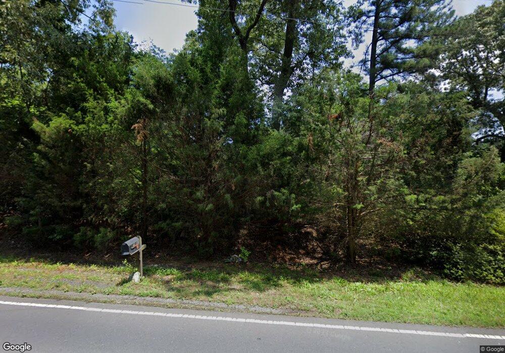
7680 Stokes Ferry Rd Salisbury, NC 28146
Estimated Value: $208,000 - $524,000
3
Beds
2
Baths
2,114
Sq Ft
$177/Sq Ft
Est. Value
About This Home
This home is located at 7680 Stokes Ferry Rd, Salisbury, NC 28146 and is currently estimated at $373,579, approximately $176 per square foot. 7680 Stokes Ferry Rd is a home located in Rowan County with nearby schools including Morgan Elementary School, Charles C Erwin Middle School, and East Rowan High School.
Ownership History
Date
Name
Owned For
Owner Type
Purchase Details
Closed on
Apr 29, 2013
Sold by
Land James Steven and Land Jayne H
Bought by
Miller Joseph Wayne
Current Estimated Value
Home Financials for this Owner
Home Financials are based on the most recent Mortgage that was taken out on this home.
Original Mortgage
$145,319
Outstanding Balance
$104,213
Interest Rate
3.75%
Mortgage Type
FHA
Estimated Equity
$269,366
Create a Home Valuation Report for This Property
The Home Valuation Report is an in-depth analysis detailing your home's value as well as a comparison with similar homes in the area
Purchase History
| Date | Buyer | Sale Price | Title Company |
|---|---|---|---|
| Miller Joseph Wayne | $148,000 | None Available |
Source: Public Records
Mortgage History
| Date | Status | Borrower | Loan Amount |
|---|---|---|---|
| Open | Miller Joseph Wayne | $145,319 |
Source: Public Records
Tax History Compared to Growth
Tax History
| Year | Tax Paid | Tax Assessment Tax Assessment Total Assessment is a certain percentage of the fair market value that is determined by local assessors to be the total taxable value of land and additions on the property. | Land | Improvement |
|---|---|---|---|---|
| 2025 | $1,591 | $241,070 | $59,682 | $181,388 |
| 2024 | $1,591 | $241,070 | $59,682 | $181,388 |
| 2023 | $1,591 | $241,070 | $59,682 | $181,388 |
| 2022 | $1,242 | $168,441 | $44,146 | $124,295 |
| 2021 | $1,198 | $168,441 | $44,146 | $124,295 |
| 2020 | $1,198 | $168,441 | $44,146 | $124,295 |
| 2019 | $1,198 | $168,441 | $44,146 | $124,295 |
| 2018 | $1,037 | $147,012 | $44,145 | $102,867 |
| 2017 | $1,037 | $147,012 | $44,145 | $102,867 |
| 2016 | $1,037 | $147,012 | $44,145 | $102,867 |
| 2015 | $1,053 | $147,012 | $44,145 | $102,867 |
| 2014 | $815 | $115,929 | $44,145 | $71,784 |
Source: Public Records
Map
Nearby Homes
- 1315 King Rd
- 230 Shag Bark Ln
- 8710 Stokes Ferry Rd
- 1056 Elljoy Ln
- 245 Castle Keep Rd
- 930 Gondola Ct
- 930 Gondola Ct Unit 72A
- 10010 Stokes Ferry Rd
- 260 Joy Cir
- 6415 Bringle Ferry Rd
- 6400 Bringle Ferry Rd
- 155 Park Villa Rd
- 0 Catfish Terrace
- 1044 Oak Grove Ln Unit Lot 2
- 237 Panfish Ln
- 1266 Oak Grove Ln
- 0 Chapparal Dr
- 355 N Fisherman Ln
- 8725 Bringle Ferry Rd
- 1090 Sides St
- 7655 Stokes Ferry Rd
- 7610 Stokes Ferry Rd
- 7725 Stokes Ferry Rd
- 00 Stokes Ferry Rd
- 00 Stokes Ferry Rd Unit NULL
- 124 Larin Way
- 7830 Stokes Ferry Rd
- 7789 Stokes Ferry Rd
- 7555 Stokes Ferry Rd
- 7815 Stokes Ferry Rd
- 7950 Stokes Ferry Rd
- 7765 Stokes Ferry Rd
- 155 Larin Way
- 7855 Stokes Ferry Rd
- 7320 Stokes Ferry Rd
- 7925 Stokes Ferry Rd
- 7925 Stokes Ferry Rd
- 175 Larin Way
- 120 Agner Rd
- 7965 Stokes Ferry Rd
