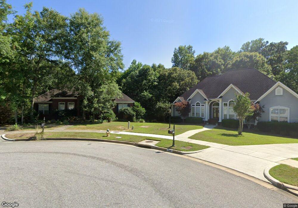
7681 Cameron Ct Mobile, AL 36695
Sheldon NeighborhoodEstimated Value: $351,321 - $400,000
4
Beds
4
Baths
2,578
Sq Ft
$143/Sq Ft
Est. Value
About This Home
This home is located at 7681 Cameron Ct, Mobile, AL 36695 and is currently estimated at $367,580, approximately $142 per square foot. 7681 Cameron Ct is a home located in Mobile County with nearby schools including ER Dickson Elementary School, Bernice J Causey Middle School, and WP Davidson High School.
Ownership History
Date
Name
Owned For
Owner Type
Purchase Details
Closed on
Jun 20, 2024
Sold by
Tripp Michael Anthony and Trippi Jill Faucheux
Bought by
Trippi Michael Anthony and Trippi Jill Faucheux
Current Estimated Value
Purchase Details
Closed on
Jun 23, 2006
Sold by
Trippi Michael Anthony and Trippi Jill Faucheux
Bought by
Trippi Jill Faucheux
Home Financials for this Owner
Home Financials are based on the most recent Mortgage that was taken out on this home.
Original Mortgage
$232,500
Interest Rate
6.57%
Mortgage Type
New Conventional
Purchase Details
Closed on
Sep 18, 1998
Sold by
Hamilton Homes & Construction Co Inc
Bought by
Trippi Michael Anthony and Trippi Jill Faucheux
Home Financials for this Owner
Home Financials are based on the most recent Mortgage that was taken out on this home.
Original Mortgage
$192,000
Interest Rate
6.92%
Create a Home Valuation Report for This Property
The Home Valuation Report is an in-depth analysis detailing your home's value as well as a comparison with similar homes in the area
Home Values in the Area
Average Home Value in this Area
Purchase History
| Date | Buyer | Sale Price | Title Company |
|---|---|---|---|
| Trippi Michael Anthony | $149,050 | None Listed On Document | |
| Trippi Jill Faucheux | $233,000 | None Available | |
| Trippi Michael Anthony | -- | -- |
Source: Public Records
Mortgage History
| Date | Status | Borrower | Loan Amount |
|---|---|---|---|
| Previous Owner | Trippi Jill Faucheux | $232,500 | |
| Previous Owner | Trippi Michael Anthony | $192,000 | |
| Closed | Trippi Michael Anthony | $24,000 |
Source: Public Records
Tax History
| Year | Tax Paid | Tax Assessment Tax Assessment Total Assessment is a certain percentage of the fair market value that is determined by local assessors to be the total taxable value of land and additions on the property. | Land | Improvement |
|---|---|---|---|---|
| 2025 | $1,457 | $31,200 | $5,590 | $25,610 |
| 2024 | $1,457 | $29,810 | $5,090 | $24,720 |
| 2023 | $1,389 | $28,590 | $5,090 | $23,500 |
| 2022 | $1,336 | $28,900 | $5,090 | $23,810 |
| 2021 | $1,215 | $26,430 | $5,090 | $21,340 |
| 2020 | $1,229 | $26,700 | $5,090 | $21,610 |
| 2019 | $1,242 | $26,980 | $0 | $0 |
| 2018 | $1,254 | $27,240 | $0 | $0 |
| 2017 | $1,371 | $29,640 | $0 | $0 |
| 2016 | $1,397 | $30,180 | $0 | $0 |
| 2013 | $1,338 | $26,240 | $0 | $0 |
Source: Public Records
Map
Nearby Homes
- 7693 Pembroke Cir
- 7601 Cameron Ct
- 1337 Carson Rd W
- 1291 Carson Rd W
- 1171 Newbury Ln E
- 1542 Stone Hedge Dr W
- 8621 Grelot Rd
- 1130 Jonathan Ct
- 1350 A Schillinger Rd S
- 1350 Schillinger Rd S
- 1361 Dellwyn Ct
- 1000 Choctaw Bluff Rd
- 8051 Kimberlin Dr S
- 836 Willow Bridge Dr W
- 8050 Saint Jude Cir N
- 1484 Pebble Creek Dr
- 8051 Bonanza Dr
- 816 Willow Springs Dr
- 1630 Ashmoor Dr E
- 1263 Smithfield Rd E
- 7691 Cameron Ct
- 7671 Cameron Ct Unit 2
- 7700 Cameron Ct
- 7692 Pembroke Cir
- 7661 Cameron Ct
- 7682 Pembroke Cir
- 7704 Pembroke Cir
- 7680 Cameron Ct
- 7712 Pembroke Cir
- 7672 Pembroke Cir
- 7670 Cameron Ct
- 7651 Cameron Ct Unit 2
- 7650 Cameron Ct
- 7652 Pembroke Cir
- 7631 Cameron Ct
- 7722 Pembroke Cir
- 7683 Pembroke Cir
- 7640 Cameron Ct
- 7642 Pembroke Cir Unit 1
- 7703 Pembroke Cir
Your Personal Tour Guide
Ask me questions while you tour the home.