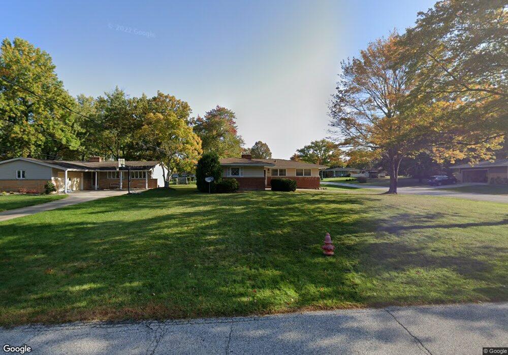
7681 Ragall Pkwy Middleburg Heights, OH 44130
Estimated Value: $238,338 - $284,000
3
Beds
2
Baths
1,288
Sq Ft
$203/Sq Ft
Est. Value
About This Home
This home is located at 7681 Ragall Pkwy, Middleburg Heights, OH 44130 and is currently estimated at $260,835, approximately $202 per square foot. 7681 Ragall Pkwy is a home located in Cuyahoga County with nearby schools including Big Creek Elementary School, Berea-Midpark Middle School, and Berea-Midpark High School.
Ownership History
Date
Name
Owned For
Owner Type
Purchase Details
Closed on
Jul 8, 2008
Sold by
Keith Alice Thomay and Keith Harry Blair
Bought by
Cristino Matthew and Justus Michelle
Current Estimated Value
Home Financials for this Owner
Home Financials are based on the most recent Mortgage that was taken out on this home.
Original Mortgage
$99,000
Outstanding Balance
$63,965
Interest Rate
6.1%
Mortgage Type
Purchase Money Mortgage
Estimated Equity
$196,870
Purchase Details
Closed on
Aug 2, 2003
Sold by
Keith Alice Thomay
Bought by
Keith Alice Thomay and Keith Harry Blair
Purchase Details
Closed on
Jul 5, 1991
Sold by
Keith Alice T and Keith Terry T
Bought by
Keith Alice Thomay
Purchase Details
Closed on
Jan 1, 1975
Bought by
Keith Alice T and Keith Terry T
Create a Home Valuation Report for This Property
The Home Valuation Report is an in-depth analysis detailing your home's value as well as a comparison with similar homes in the area
Home Values in the Area
Average Home Value in this Area
Purchase History
| Date | Buyer | Sale Price | Title Company |
|---|---|---|---|
| Cristino Matthew | $110,000 | Barristers Title Agency | |
| Keith Alice Thomay | -- | -- | |
| Keith Alice Thomay | -- | -- | |
| Keith Alice T | -- | -- |
Source: Public Records
Mortgage History
| Date | Status | Borrower | Loan Amount |
|---|---|---|---|
| Open | Cristino Matthew | $99,000 |
Source: Public Records
Tax History Compared to Growth
Tax History
| Year | Tax Paid | Tax Assessment Tax Assessment Total Assessment is a certain percentage of the fair market value that is determined by local assessors to be the total taxable value of land and additions on the property. | Land | Improvement |
|---|---|---|---|---|
| 2024 | $3,946 | $74,445 | $15,820 | $58,625 |
| 2023 | $3,801 | $59,260 | $11,620 | $47,640 |
| 2022 | $3,776 | $59,260 | $11,620 | $47,640 |
| 2021 | $3,755 | $59,260 | $11,620 | $47,640 |
| 2020 | $3,565 | $49,390 | $9,700 | $39,690 |
| 2019 | $3,464 | $141,100 | $27,700 | $113,400 |
| 2018 | $3,307 | $49,390 | $9,700 | $39,690 |
| 2017 | $3,412 | $45,080 | $9,450 | $35,630 |
| 2016 | $3,385 | $45,080 | $9,450 | $35,630 |
| 2015 | $3,019 | $45,080 | $9,450 | $35,630 |
| 2014 | $3,019 | $42,530 | $8,930 | $33,600 |
Source: Public Records
Map
Nearby Homes
- 7685 Saratoga Rd
- 7475 Lanier Dr
- 7470 Lanier Dr
- 16347 Craigmere Dr
- 14330 Pawnee Trail
- 15861 Glenridge Ave
- 16365 Barriemore Ave
- 7432 Baldwin Creek Dr
- 14280 Pawnee Trail
- 16691 Craigmere Dr
- 7364 Pearl Rd
- 14015 Byron Blvd
- 13976 W Sprague Rd
- 7381 Grant Blvd
- 7280 Pearl Rd
- 9286 Rainier Ct
- 7664 Gerald Dr
- 9129 Tahoe Cir
- 7334 Grant Blvd
- 13541 Indian Creek Dr
- 7677 Ragall Pkwy
- 7685 Ragall Pkwy
- 7675 Ragall Pkwy
- 0 Ragall Pkwy
- 7662 Alan Pkwy
- 7687 Ragall Pkwy
- 7660 Alan Pkwy
- 7673 Ragall Pkwy
- 7670 Alan Pkwy
- 7656 Alan Pkwy
- 7689 Ragall Pkwy
- 7678 Ragall Pkwy
- 7674 Alan Pkwy
- 7671 Ragall Pkwy
- 7652 Alan Pkwy
- 7686 Ragall Pkwy
- 7676 Ragall Pkwy
- 7688 Ragall Pkwy
- 7693 Ragall Pkwy
- 7674 Ragall Pkwy