Estimated Value: $132,000 - $236,000
1
Bed
1
Bath
1,396
Sq Ft
$147/Sq Ft
Est. Value
About This Home
This home is located at 7682 W Anderson Ln, Irons, MI 49644 and is currently estimated at $204,827, approximately $146 per square foot. 7682 W Anderson Ln is a home located in Lake County with nearby schools including Baldwin Elementary School, Baldwin Junior High School, and Baldwin Senior High School.
Ownership History
Date
Name
Owned For
Owner Type
Purchase Details
Closed on
May 31, 2019
Sold by
Porter Luke and Porter Rebecca
Bought by
Porter Luke E and Porter Rebecca L
Current Estimated Value
Purchase Details
Closed on
Oct 27, 2006
Sold by
Beuschel Paul F and Beuschel Valerie A
Bought by
Porter Rebecca
Home Financials for this Owner
Home Financials are based on the most recent Mortgage that was taken out on this home.
Original Mortgage
$0
Interest Rate
6.38%
Purchase Details
Closed on
Aug 12, 2000
Sold by
Vachula Edward R
Bought by
Beuschel Paul F
Create a Home Valuation Report for This Property
The Home Valuation Report is an in-depth analysis detailing your home's value as well as a comparison with similar homes in the area
Home Values in the Area
Average Home Value in this Area
Purchase History
| Date | Buyer | Sale Price | Title Company |
|---|---|---|---|
| Porter Luke E | -- | -- | |
| Porter Luke E | -- | -- | |
| Porter Rebecca | $93,600 | -- | |
| Beuschel Paul F | $64,500 | -- |
Source: Public Records
Mortgage History
| Date | Status | Borrower | Loan Amount |
|---|---|---|---|
| Previous Owner | Porter Rebecca | $0 | |
| Previous Owner | Porter Rebecca | $0 |
Source: Public Records
Tax History Compared to Growth
Tax History
| Year | Tax Paid | Tax Assessment Tax Assessment Total Assessment is a certain percentage of the fair market value that is determined by local assessors to be the total taxable value of land and additions on the property. | Land | Improvement |
|---|---|---|---|---|
| 2025 | $2,298 | $90,900 | $0 | $0 |
| 2024 | $2,190 | $80,000 | $0 | $0 |
| 2022 | $2,163 | $58,300 | $0 | $0 |
| 2021 | $2,105 | $53,100 | $0 | $0 |
| 2020 | $2,023 | $52,700 | $0 | $0 |
| 2019 | $1,969 | $42,200 | $0 | $0 |
| 2018 | $1,968 | $41,900 | $0 | $0 |
| 2017 | $1,905 | $42,500 | $0 | $0 |
| 2016 | $1,970 | $42,700 | $0 | $0 |
| 2015 | -- | $42,500 | $0 | $0 |
| 2014 | -- | $41,900 | $0 | $0 |
Source: Public Records
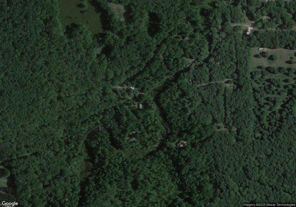
Map
Nearby Homes
- 4573 N Able Rd
- 7658 W 5 Mile Rd
- 00 W 5 Mile Rd
- 7380 W White Birch Dr
- 7336 W Cedar Dr
- 5211 N Red Maple St
- 5112 N Bass Lake Rd
- 5190 N Bass Lake Rd
- 5620 N Utter Dr
- 5859 N Utter Rd
- 6651 W 6 Mile Rd
- 6142 N Sunshine Dr
- 6356 N Mac Rd
- 6384 N Mac Rd
- 5921 Bay Shore Dr
- 5985 N Bayshore Dr
- VL W Hb Road (Trail 6545)
- 00 W 4 Mile Rd
- 7658 N Johnson Rd
- 6970 W 8 Mile Rd
- 7681 W Anderson Ln
- 7643 W Anderson Ln
- 7707 W Anderson Ln
- 5787 W Anderson Ln
- 7573 W Anderson Ln
- 7559 W Anderson Ln
- 4570 N Anderson Ct
- 4599 W Able Ct
- 7671 W Anderson Ln
- 4647 N Able Rd
- 4699 N Able Rd
- 4637 N Able Rd
- 4619 N Able Rd
- 4701 N Able Rd
- 4603 N Able Rd
- 4611 N Able Rd
- 7601 W Anderson Ln
- 4532 N Anderson Ct
- 4693 N Able Rd
- 7657 W Anderson Ln