7685 Ravenswood Rd Wales, MI 48027
Wales Township NeighborhoodEstimated Value: $329,000 - $366,939
3
Beds
1
Bath
1,500
Sq Ft
$233/Sq Ft
Est. Value
About This Home
This home is located at 7685 Ravenswood Rd, Wales, MI 48027 and is currently estimated at $349,485, approximately $232 per square foot. 7685 Ravenswood Rd is a home located in St. Clair County with nearby schools including Memphis Elementary School and Memphis Junior/Senior High School.
Ownership History
Date
Name
Owned For
Owner Type
Purchase Details
Closed on
Apr 6, 2009
Sold by
Chase Bank Usa N A
Bought by
Deutsche Bank National Trust Company
Current Estimated Value
Purchase Details
Closed on
Jan 17, 2008
Sold by
Peters Kimberly
Bought by
Chase Bank Usa Na
Purchase Details
Closed on
Sep 29, 2005
Sold by
Brown Kristopher
Bought by
Peters Kimberly
Home Financials for this Owner
Home Financials are based on the most recent Mortgage that was taken out on this home.
Original Mortgage
$157,500
Interest Rate
5.83%
Mortgage Type
New Conventional
Create a Home Valuation Report for This Property
The Home Valuation Report is an in-depth analysis detailing your home's value as well as a comparison with similar homes in the area
Home Values in the Area
Average Home Value in this Area
Purchase History
| Date | Buyer | Sale Price | Title Company |
|---|---|---|---|
| Deutsche Bank National Trust Company | -- | Platinum Title Services | |
| Chase Bank Usa Na | $159,900 | None Available | |
| Peters Kimberly | $210,000 | Chirco Title Co |
Source: Public Records
Mortgage History
| Date | Status | Borrower | Loan Amount |
|---|---|---|---|
| Previous Owner | Peters Kimberly | $157,500 |
Source: Public Records
Tax History Compared to Growth
Tax History
| Year | Tax Paid | Tax Assessment Tax Assessment Total Assessment is a certain percentage of the fair market value that is determined by local assessors to be the total taxable value of land and additions on the property. | Land | Improvement |
|---|---|---|---|---|
| 2025 | $2,918 | $165,500 | $0 | $0 |
| 2024 | $1,784 | $158,300 | $0 | $0 |
| 2023 | $1,699 | $147,700 | $0 | $0 |
| 2022 | $2,624 | $131,500 | $0 | $0 |
| 2021 | $1,916 | $98,100 | $0 | $0 |
| 2020 | $1,916 | $91,000 | $91,000 | $0 |
| 2019 | $1,881 | $79,700 | $0 | $0 |
| 2018 | $1,849 | $79,700 | $0 | $0 |
| 2016 | $757 | $72,400 | $0 | $0 |
| 2015 | -- | $68,800 | $68,800 | $0 |
| 2014 | -- | $69,600 | $69,600 | $0 |
| 2013 | -- | $69,200 | $0 | $0 |
Source: Public Records
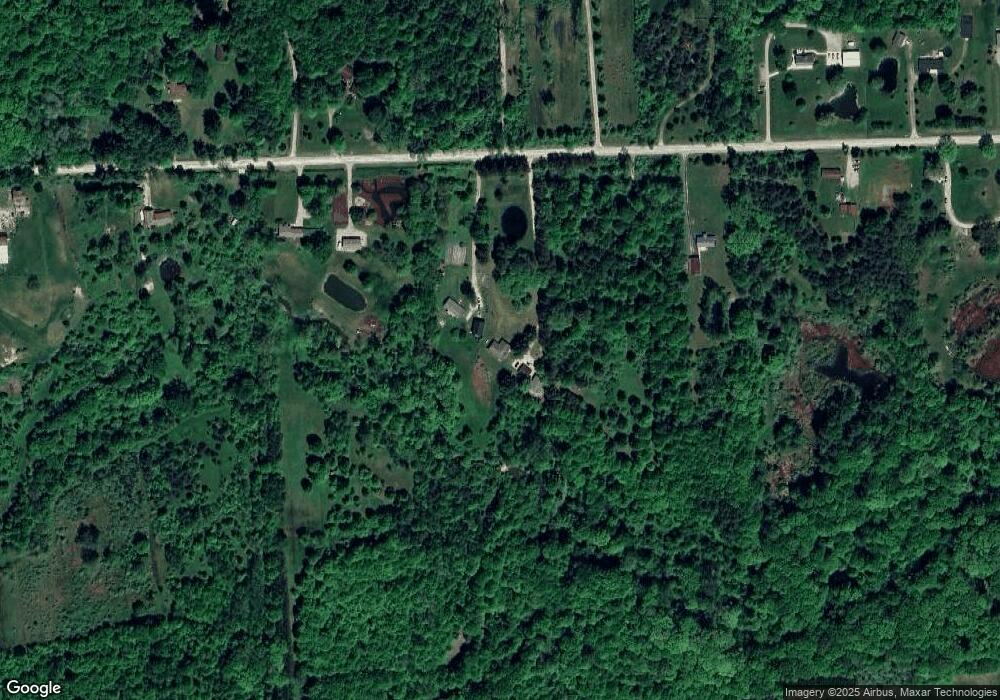
Map
Nearby Homes
- VL Lambs Rd
- 8067 Lambs Rd
- 8237 Lambs Rd
- 355 Henry St
- 1533 Richman Rd
- 6928 Smiths Creek Rd
- 1900 Burns Rd
- 8840 Marquette Rd
- 1261 Sturdevant Rd
- 1371 Sturdevant Rd
- 1688 Sturdevant Rd
- 7710 Sparling Rd
- 0 Sparling Unit 20230091288
- 6417 Dove Rd
- 0 Sparling Rd Unit 2210034403
- 8980 Yager Rd
- 1971 Hyde Park Rd
- 1671 Ditty Rd
- 00 Sparling Rd
- 2906 Castor Rd
- 7699 Ravenswood Rd
- 7751 Ravenswood Rd
- 7695 Ravenswood Rd
- 7730 Ravenswood Rd
- 7789 Ravenswood Rd
- 7575 Ravenswood Rd
- 7788 Ravenswood Rd Unit 7838
- 7788 Ravenswood Rd
- 7555 Ravenswood Rd
- 7555 Ravenswood Rd
- 7555 Ravenswood Rd
- 7588 Ravenswood Rd
- 7815 Ravenswood Rd
- 7815 Ravenswood Rd
- 7560 Ravenswood Rd
- 7700 Ravenswood Rd
- 7742 Ravenswood Rd
- 7838 Ravenswood Rd
- 7544 Ravenswood Rd
- 879 Mayer Rd