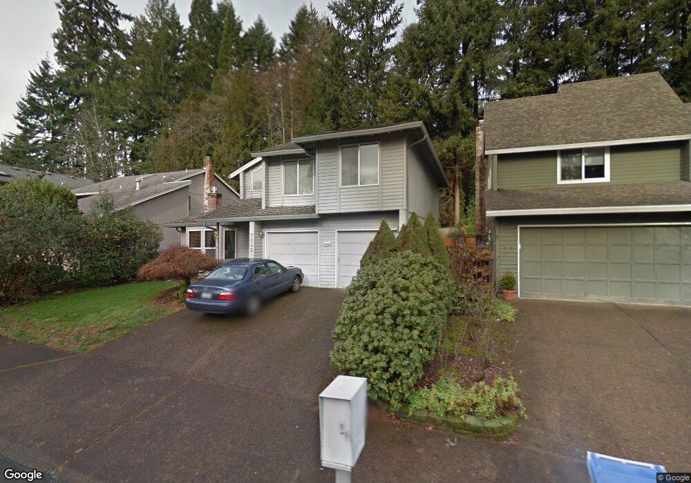
7685 SW Bond St Portland, OR 97224
Durham Road NeighborhoodEstimated Value: $553,000 - $607,580
3
Beds
3
Baths
1,900
Sq Ft
$310/Sq Ft
Est. Value
About This Home
This home is located at 7685 SW Bond St, Portland, OR 97224 and is currently estimated at $588,895, approximately $309 per square foot. 7685 SW Bond St is a home located in Washington County with nearby schools including Durham Elementary School, Twality Middle School, and Tigard High School.
Ownership History
Date
Name
Owned For
Owner Type
Purchase Details
Closed on
Mar 24, 2005
Sold by
Cunningham Ronald R and Cunningham Ann Catherine
Bought by
Capps Douglas A and Capps Sharon R
Current Estimated Value
Home Financials for this Owner
Home Financials are based on the most recent Mortgage that was taken out on this home.
Original Mortgage
$200,000
Outstanding Balance
$101,327
Interest Rate
5.6%
Mortgage Type
Unknown
Estimated Equity
$487,568
Create a Home Valuation Report for This Property
The Home Valuation Report is an in-depth analysis detailing your home's value as well as a comparison with similar homes in the area
Home Values in the Area
Average Home Value in this Area
Purchase History
| Date | Buyer | Sale Price | Title Company |
|---|---|---|---|
| Capps Douglas A | $250,000 | Transnation Title Agency Or |
Source: Public Records
Mortgage History
| Date | Status | Borrower | Loan Amount |
|---|---|---|---|
| Open | Capps Douglas A | $200,000 |
Source: Public Records
Tax History Compared to Growth
Tax History
| Year | Tax Paid | Tax Assessment Tax Assessment Total Assessment is a certain percentage of the fair market value that is determined by local assessors to be the total taxable value of land and additions on the property. | Land | Improvement |
|---|---|---|---|---|
| 2025 | $5,655 | $331,720 | -- | -- |
| 2024 | $5,504 | $322,060 | -- | -- |
| 2023 | $5,504 | $312,680 | $0 | $0 |
| 2022 | $5,346 | $312,680 | $0 | $0 |
| 2021 | $5,212 | $294,740 | $0 | $0 |
| 2020 | $5,055 | $286,160 | $0 | $0 |
| 2019 | $4,836 | $277,830 | $0 | $0 |
| 2018 | $4,640 | $269,740 | $0 | $0 |
| 2017 | $4,302 | $251,940 | $0 | $0 |
| 2016 | $4,109 | $244,610 | $0 | $0 |
| 2015 | $3,949 | $237,490 | $0 | $0 |
| 2014 | $3,832 | $230,580 | $0 | $0 |
Source: Public Records
Map
Nearby Homes
- 15974 SW 76th Ave
- 7585 SW Onnaf Ct
- 7946 SW Churchill Way
- 16447 SW Owlet Terrace
- 16485 SW Cambridge Ln
- 16491 SW Cambridge Ln
- 16461 SW Cambridge Ln
- 16353 SW Cambridge Ln
- 16426 SW Cambridge Ln
- 16401 SW Cambridge Ln
- Ingleman Plan at Durham Heights
- Beekman Plan at Durham Heights
- Eason Plan at Durham Heights
- Alder Plan at Durham Heights
- Anson Plan at Durham Heights
- Windrift Plan at Durham Heights
- 14964 SW Belvoir Ct
- 14994 SW Belvoir Ct
- 8539 SW Avon St
- 8420 SW Norfolk Ct
- 7655 SW Bond Strelisted
- 7655 SW Bond St
- 7725 SW Bond St
- 7645 SW Bond St
- 7745 SW Bond St
- 7680 SW Bond St
- 7700 SW Bond St
- 7660 SW Bond St
- 7720 SW Bond St
- 15895 SW 76th Ave
- 7740 SW Bond St
- 7765 SW Bond St
- 15735 SW 76th Ave
- 15788 SW 76th Ave Unit 5A
- 7760 SW Bond St
- 15838 SW 76th Ave
- 15784 SW 79th Ave
- 7785 SW Bond St
- 15768 SW 76th Ave Unit 4B
- 7707 SW Alder St