76896 Schroeder Rd Clatskanie, OR 97016
Estimated Value: $319,000 - $425,000
3
Beds
2
Baths
1,152
Sq Ft
$316/Sq Ft
Est. Value
About This Home
This home is located at 76896 Schroeder Rd, Clatskanie, OR 97016 and is currently estimated at $364,085, approximately $316 per square foot. 76896 Schroeder Rd is a home located in Columbia County with nearby schools including Clatskanie Elementary School, Clatskanie Middle/High School, and Piercing Arrow Private School.
Ownership History
Date
Name
Owned For
Owner Type
Purchase Details
Closed on
Apr 20, 2012
Sold by
Secretary Of Housing & Urban Development
Bought by
Eaton James R
Current Estimated Value
Home Financials for this Owner
Home Financials are based on the most recent Mortgage that was taken out on this home.
Original Mortgage
$103,770
Outstanding Balance
$71,385
Interest Rate
3.9%
Mortgage Type
New Conventional
Estimated Equity
$292,700
Create a Home Valuation Report for This Property
The Home Valuation Report is an in-depth analysis detailing your home's value as well as a comparison with similar homes in the area
Home Values in the Area
Average Home Value in this Area
Purchase History
| Date | Buyer | Sale Price | Title Company |
|---|---|---|---|
| Eaton James R | $98,500 | Fidelity Natl Title Co Of Or |
Source: Public Records
Mortgage History
| Date | Status | Borrower | Loan Amount |
|---|---|---|---|
| Open | Eaton James R | $103,770 |
Source: Public Records
Tax History Compared to Growth
Tax History
| Year | Tax Paid | Tax Assessment Tax Assessment Total Assessment is a certain percentage of the fair market value that is determined by local assessors to be the total taxable value of land and additions on the property. | Land | Improvement |
|---|---|---|---|---|
| 2025 | $1,845 | $157,260 | $69,060 | $88,200 |
| 2024 | $1,782 | $152,680 | $67,050 | $85,630 |
| 2023 | $1,774 | $148,240 | $62,630 | $85,610 |
| 2022 | $1,699 | $143,930 | $60,810 | $83,120 |
| 2021 | $1,653 | $139,740 | $52,880 | $86,860 |
| 2020 | $1,639 | $135,670 | $50,490 | $85,180 |
| 2019 | $1,601 | $131,720 | $48,540 | $83,180 |
| 2018 | $1,544 | $127,890 | $60,000 | $67,890 |
| 2017 | $1,544 | $124,170 | $58,250 | $65,920 |
| 2016 | $1,352 | $108,570 | $49,990 | $58,580 |
| 2015 | $1,330 | $107,030 | $50,640 | $56,390 |
| 2014 | $1,177 | $94,900 | $48,680 | $46,220 |
Source: Public Records
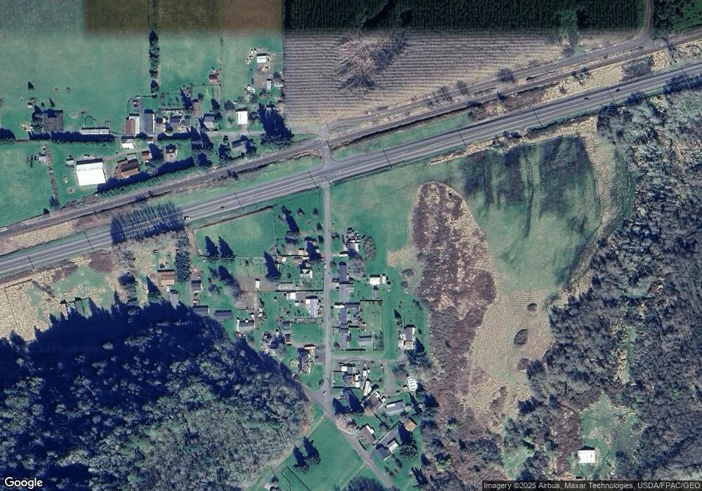
Map
Nearby Homes
- 76830 Schroeder Rd
- 12592 Highway 30
- 0 Palm Hill Rd Unit 467442641
- 11097 Colvin Rd
- 10 W Cape Horn Rd
- 78527 Point Adams Rd
- 78098 Erickson Dike Rd
- 810 Howard Dr
- 74763 Conyers Creek Rd
- 0 Conyers Creek Unit 208773965
- 0 Bel Air Dr
- 3 SW Canyon Rd
- 2 SW Canyon Rd
- 1 SW Canyon Rd
- 505 SW Tichenor St
- 636 S Nehalem St
- 340 E Sunny Sands Rd
- 365 Bellflower Rd
- 0 Maple Ridge Rd Unit NWM2373279
- 601 E Columbia River Hwy Unit 34
- 76886 Schroeder Rd
- 76899 Schroeder Rd
- 76862 Schroeder Rd
- 76913 Schroeder Rd
- 76856 Schroeder Rd
- 76845 Schroeder Rd Unit 2
- 76845 Schroeder Rd
- 13703 Colvin Rd
- 13685 Colvin Rd
- 76810 Schroeder Rd
- 13671 Colvin Rd
- 13798 Tandy St
- 13651 Colvin Rd
- 13642 Hanhi Dr
- 13670 Hanhi Dr
- 13765 Colvin Rd
- 13705 Hanhi Dr
- 13775 Colvin Rd
- 13631 Colvin Rd
- 13643 Hanhi Dr