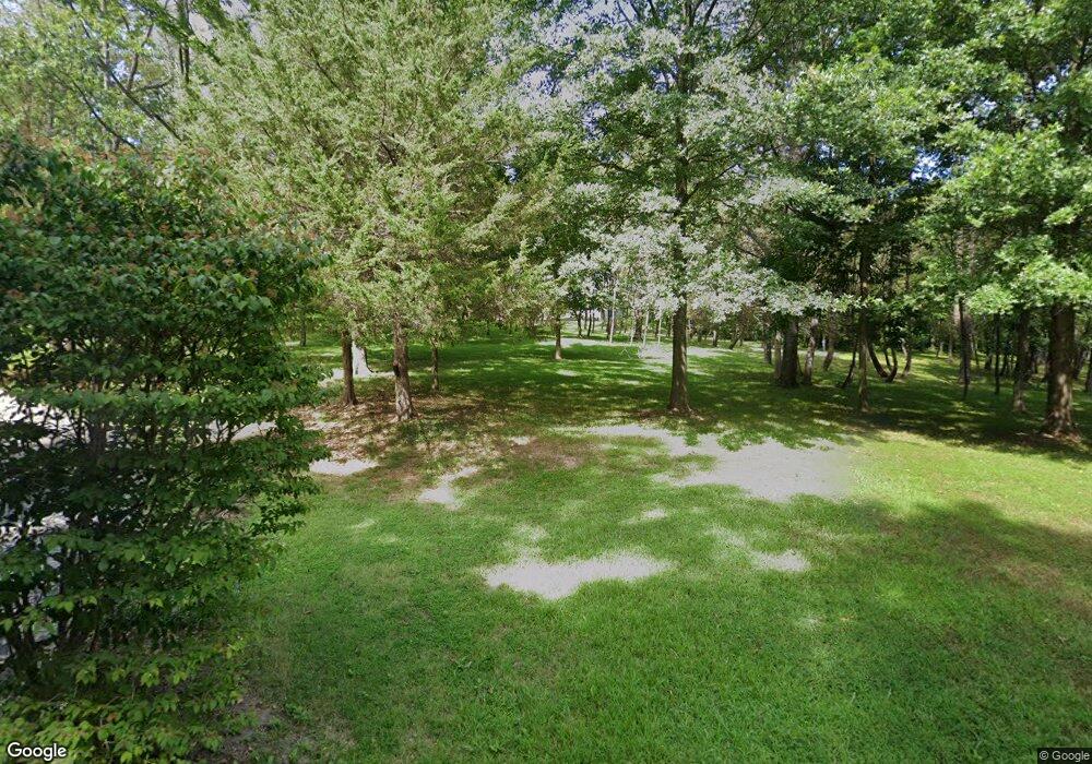
769 Coal Bank Rd Saint Louis, MO 63138
Estimated Value: $181,000 - $330,887
2
Beds
2
Baths
2,461
Sq Ft
$99/Sq Ft
Est. Value
About This Home
This home is located at 769 Coal Bank Rd, Saint Louis, MO 63138 and is currently estimated at $242,722, approximately $98 per square foot. 769 Coal Bank Rd is a home located in St. Louis County with nearby schools including Larimore Elementary School, Southeast Middle School, and Hazelwood East High School.
Ownership History
Date
Name
Owned For
Owner Type
Purchase Details
Closed on
Oct 26, 2012
Sold by
Moyers Roy A and Schlemmer Donna
Bought by
Moyers Roy A and Schlemmer Donna M
Current Estimated Value
Create a Home Valuation Report for This Property
The Home Valuation Report is an in-depth analysis detailing your home's value as well as a comparison with similar homes in the area
Home Values in the Area
Average Home Value in this Area
Purchase History
| Date | Buyer | Sale Price | Title Company |
|---|---|---|---|
| Moyers Roy A | -- | None Available |
Source: Public Records
Tax History Compared to Growth
Tax History
| Year | Tax Paid | Tax Assessment Tax Assessment Total Assessment is a certain percentage of the fair market value that is determined by local assessors to be the total taxable value of land and additions on the property. | Land | Improvement |
|---|---|---|---|---|
| 2025 | $4,746 | $50,350 | $15,280 | $35,070 |
| 2024 | $4,746 | $50,350 | $15,280 | $35,070 |
| 2023 | $4,629 | $50,350 | $15,280 | $35,070 |
| 2022 | $4,732 | $45,130 | $7,660 | $37,470 |
| 2021 | $4,663 | $48,680 | $7,660 | $41,020 |
| 2020 | $5,015 | $45,120 | $10,370 | $34,750 |
| 2019 | $4,805 | $45,120 | $10,370 | $34,750 |
| 2018 | $5,365 | $46,390 | $7,140 | $39,250 |
| 2017 | $5,345 | $46,390 | $7,140 | $39,250 |
| 2016 | $3,962 | $33,850 | $7,140 | $26,710 |
| 2015 | $3,881 | $33,850 | $7,140 | $26,710 |
| 2014 | $3,422 | $29,700 | $3,900 | $25,800 |
Source: Public Records
Map
Nearby Homes
- 11642 Petite Chalet Dr
- 11668 Herefordshire Dr
- 931 Prigge Rd
- 147 Monteith Cir
- 151 Brigadoon Cir
- 848 Laredo Ave
- 1113 Walker Ave
- 1139 Congress Ave
- 1201 Baron Ave
- 10940 John James Dr
- 1050 Fry #B Ln
- 1162 Prigge Ave
- 1213 Baron Ave
- 11823 Larimore Rd
- 1136 Cove Ln
- 1165 June Ave
- 277 Roderick Dr
- 1135 Cove Ln
- 10655 Glen Garry Rd
- 1222 Scott Ave
- 781 Coal Bank Rd
- 808 Coal Bank Rd
- 770 Coal Bank Rd
- 801 Coal Bank Rd
- 11440 Uphill Trail
- 900 Coal Bank Rd
- 899 Coal Bank Rd
- 750 Prigge Rd
- 801 Dunn Rd
- 11425 Uphill Trail
- 11408 Uphill Trail
- 791 Dunn Rd
- 906 Coal Bank Rd
- 11628 Mimeaux Dr
- 11625 Mimeaux Dr
- 763 Dunn Rd
- 11629 Mimeaux Dr
- 11316 Dunn View Dr
- 11635 Mimeaux Dr
- 11637 Briarbrae Ct
