Estimated Value: $607,295 - $732,000
Studio
--
Bath
1,950
Sq Ft
$345/Sq Ft
Est. Value
About This Home
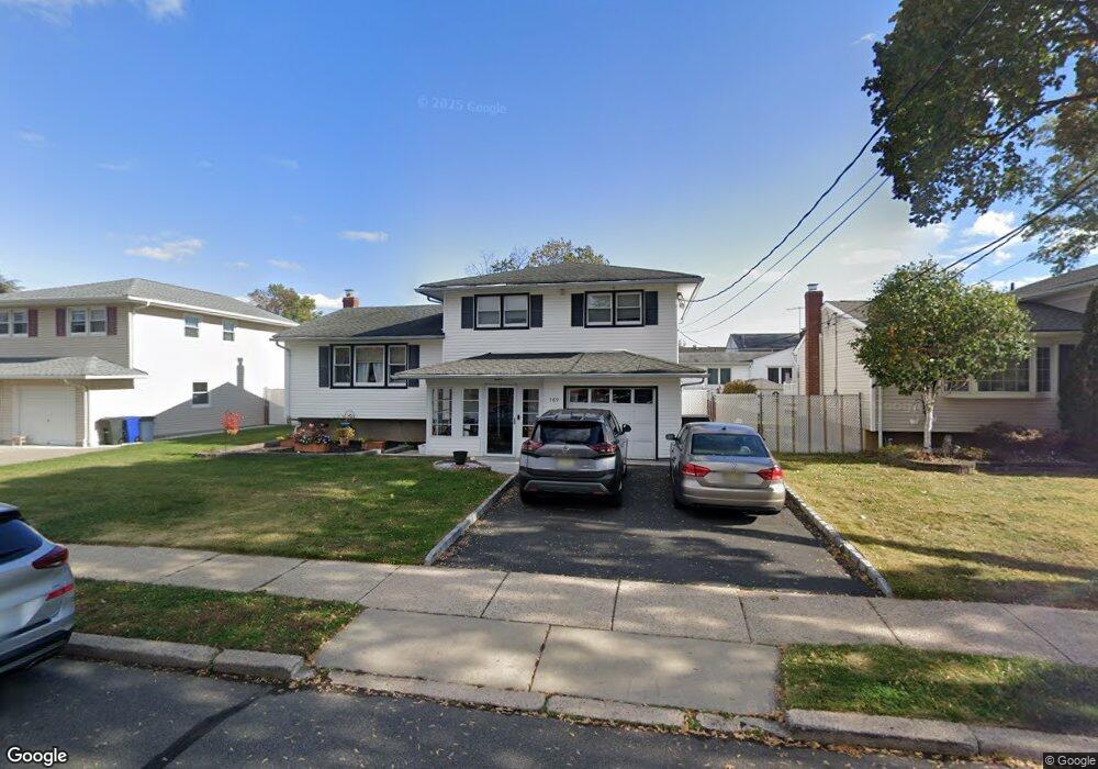
This home is located at 769 Mitchell Ave, Union, NJ 07083 and is currently estimated at $673,324, approximately $345 per square foot. 769 Mitchell Ave is a home located in Union County with nearby schools including Battle Hill Elementary School, Burnet Middle School, and Union High School.
Ownership History
Date
Name
Owned For
Owner Type
Purchase Details
Closed on
Jun 29, 2020
Sold by
Paglia Pasquale and Reggio Antoinette
Bought by
Figueroa Sonia Tul and Figueroa Laura D
Current Estimated Value
Home Financials for this Owner
Home Financials are based on the most recent Mortgage that was taken out on this home.
Original Mortgage
$391,773
Outstanding Balance
$347,398
Interest Rate
3.1%
Mortgage Type
FHA
Estimated Equity
$325,926
Purchase Details
Closed on
Sep 10, 2018
Sold by
Paglia Donata
Bought by
Paglia Pasquale and Reggio Antoinette
Purchase Details
Closed on
Apr 30, 1999
Sold by
Gargano Joseph and Gargano Pina
Bought by
Paglia Antonio and Paglia Donata
Home Financials for this Owner
Home Financials are based on the most recent Mortgage that was taken out on this home.
Original Mortgage
$152,500
Interest Rate
6.95%
Mortgage Type
Seller Take Back
Create a Home Valuation Report for This Property
The Home Valuation Report is an in-depth analysis detailing your home's value as well as a comparison with similar homes in the area
Home Values in the Area
Average Home Value in this Area
Purchase History
| Date | Buyer | Sale Price | Title Company |
|---|---|---|---|
| Figueroa Sonia Tul | $399,000 | None Available | |
| Paglia Pasquale | -- | None Available | |
| Paglia Antonio | $222,500 | -- |
Source: Public Records
Mortgage History
| Date | Status | Borrower | Loan Amount |
|---|---|---|---|
| Open | Figueroa Sonia Tul | $391,773 | |
| Previous Owner | Paglia Antonio | $152,500 |
Source: Public Records
Tax History
| Year | Tax Paid | Tax Assessment Tax Assessment Total Assessment is a certain percentage of the fair market value that is determined by local assessors to be the total taxable value of land and additions on the property. | Land | Improvement |
|---|---|---|---|---|
| 2025 | $12,829 | $57,400 | $21,100 | $36,300 |
| 2024 | $12,438 | $57,400 | $21,100 | $36,300 |
| 2023 | $12,438 | $57,400 | $21,100 | $36,300 |
| 2022 | $12,006 | $57,400 | $21,100 | $36,300 |
| 2021 | $11,715 | $57,400 | $21,100 | $36,300 |
| 2020 | $11,481 | $57,400 | $21,100 | $36,300 |
| 2019 | $11,327 | $57,400 | $21,100 | $36,300 |
| 2018 | $11,134 | $57,400 | $21,100 | $36,300 |
| 2017 | $10,969 | $57,400 | $21,100 | $36,300 |
| 2016 | $10,702 | $57,400 | $21,100 | $36,300 |
| 2015 | $10,524 | $57,400 | $21,100 | $36,300 |
| 2014 | $10,288 | $57,400 | $21,100 | $36,300 |
Source: Public Records
Map
Nearby Homes
- 2469 Macarthur Dr
- 2670 Bancroft Ave
- 787 Liberty Ave
- 2442 Terrill Rd
- 2705 Andrea Rd
- 735 Garden St
- 933 Douglas Terrace
- 750 Andover Rd
- 960 Moessner Ave
- 798 Pinewood Rd
- 909 Garden St
- 6 Bashford Ave Unit 6
- 1065 Liberty Ave
- 5 Bashford Ave Unit 5
- 14 Bashford Ave Unit 14
- 148 Locust Dr
- 105 Battle Hill Ave
- 2785 Larchmont Rd
- 1042 Battle Hill Terrace
- 67 Battle Hill Ave
- 775 Mitchell Ave
- 765 Mitchell Ave
- 2520 Macarthur Dr
- 2517 Austin Rd
- 2516 Macarthur Dr
- 2513 Austin Rd
- 757 Mitchell Ave
- 785 Mitchell Ave
- 2512 Macarthur Dr
- 2507 Austin Rd
- 786 Maxwell St
- 2518 Austin Rd
- 2514 Austin Rd
- 789 Mitchell Ave
- 751 Mitchell Ave
- 2500 Macarthur Dr
- 790 Maxwell St
- 2508 Austin Rd
- 2492 Macarthur Dr
- 793 Mitchell Ave
Your Personal Tour Guide
Ask me questions while you tour the home.