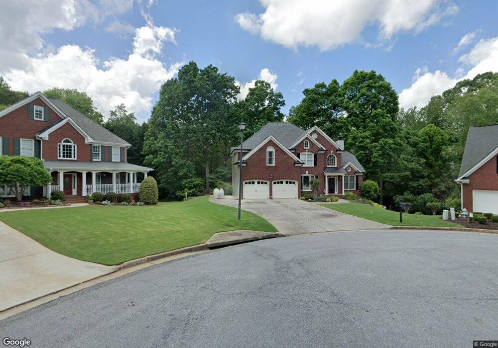
769 Myerston Ct Unit 10 Lawrenceville, GA 30044
Gwinnett Place NeighborhoodEstimated Value: $584,000 - $639,000
5
Beds
3
Baths
3,023
Sq Ft
$202/Sq Ft
Est. Value
About This Home
This home is located at 769 Myerston Ct Unit 10, Lawrenceville, GA 30044 and is currently estimated at $610,832, approximately $202 per square foot. 769 Myerston Ct Unit 10 is a home located in Gwinnett County with nearby schools including Craig Elementary School, Alton C. Crews Middle School, and Brookwood High School.
Ownership History
Date
Name
Owned For
Owner Type
Purchase Details
Closed on
Oct 26, 2000
Sold by
Ellington Donald S and Ellington Sally A
Bought by
Branam Michael G and Branam Melinda F
Current Estimated Value
Home Financials for this Owner
Home Financials are based on the most recent Mortgage that was taken out on this home.
Original Mortgage
$225,000
Outstanding Balance
$83,085
Interest Rate
7.91%
Mortgage Type
New Conventional
Estimated Equity
$527,747
Purchase Details
Closed on
Mar 31, 1997
Sold by
Kingcraft Co
Bought by
Ellington Donald S Sally A
Create a Home Valuation Report for This Property
The Home Valuation Report is an in-depth analysis detailing your home's value as well as a comparison with similar homes in the area
Home Values in the Area
Average Home Value in this Area
Purchase History
| Date | Buyer | Sale Price | Title Company |
|---|---|---|---|
| Branam Michael G | $282,000 | -- | |
| Ellington Donald S Sally A | $265,000 | -- |
Source: Public Records
Mortgage History
| Date | Status | Borrower | Loan Amount |
|---|---|---|---|
| Open | Branam Michael G | $225,000 | |
| Closed | Ellington Donald S Sally A | $0 |
Source: Public Records
Tax History Compared to Growth
Tax History
| Year | Tax Paid | Tax Assessment Tax Assessment Total Assessment is a certain percentage of the fair market value that is determined by local assessors to be the total taxable value of land and additions on the property. | Land | Improvement |
|---|---|---|---|---|
| 2024 | $6,592 | $236,160 | $36,000 | $200,160 |
| 2023 | $6,592 | $227,040 | $42,000 | $185,040 |
| 2022 | $6,046 | $211,800 | $38,000 | $173,800 |
| 2021 | $4,835 | $149,160 | $30,000 | $119,160 |
| 2020 | $4,869 | $149,160 | $30,000 | $119,160 |
| 2019 | $4,733 | $149,160 | $30,000 | $119,160 |
| 2018 | $4,531 | $139,360 | $24,000 | $115,360 |
| 2016 | $4,246 | $125,240 | $18,000 | $107,240 |
| 2015 | $4,289 | $125,240 | $18,000 | $107,240 |
| 2014 | $4,608 | $138,760 | $24,000 | $114,760 |
Source: Public Records
Map
Nearby Homes
- 850 Oxford Hall Dr
- 725 Somerset Vale Dr
- 1555 Somerset Vale Ct
- 811 Millvale Place
- 1570 Carrington Ct Unit 13
- 1478 Napier Terrace
- 3587 Hidden Valley Cir
- 3677 Hidden Valley Cir
- 900 Downyshire Dr
- 1520 Providence Dr
- 962 Tanners Point Dr
- 1620 Brook Ivy Dr
- 1398 Scenic Pines Dr
- 3134 Flery Way
- 1165 Grassy Oat Ln
- 1175 Grassy Oat Ln
- 1191 Grassy Oat Ln
- 803 Baugh Springs Ln
- 779 Myerston Ct
- 786 Myerston Ct
- 789 Myerston Ct
- 796 Myerston Ct
- 0 Myerston Ct Unit 7606401
- 0 Myerston Ct
- 799 Myerston Ct
- 774 Brentmead Dr Unit 241
- 774 Brentmead Dr
- 1061 Albemarle Way
- 1051 Albemarle Way
- 784 Brentmead Dr
- 1309 Carrington Way
- 1041 Albemarle Way
- 1071 Albemarle Way Unit 4
- 1349 Carrington Way
- 1031 Albemarle Way Unit 4
- 764 Brentmead Dr
- 794 Brentmead Dr
- 1081 Albemarle Way