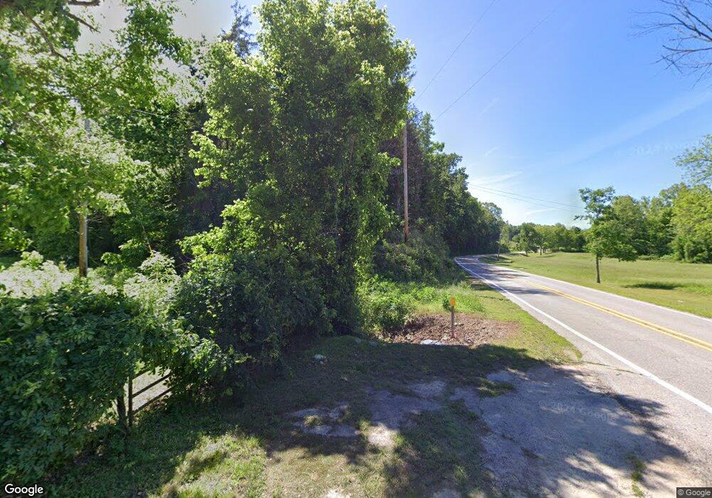
769 N Highway 333 Marshall, AR 72650
Estimated Value: $123,220 - $353,000
--
Bed
1
Bath
2,414
Sq Ft
$97/Sq Ft
Est. Value
About This Home
This home is located at 769 N Highway 333, Marshall, AR 72650 and is currently estimated at $234,555, approximately $97 per square foot. 769 N Highway 333 is a home located in Searcy County with nearby schools including Marshall Elementary School, Leslie Elementary School, and Marshall High School.
Ownership History
Date
Name
Owned For
Owner Type
Purchase Details
Closed on
Dec 4, 2004
Bought by
Welch Tommy P and Welch Angela
Current Estimated Value
Purchase Details
Closed on
Apr 14, 1999
Bought by
Boyd David Edward and Boyd Rilla
Purchase Details
Closed on
Jul 3, 1967
Bought by
Boyd David
Purchase Details
Closed on
Jan 1, 1910
Bought by
Boyd David and Boyd Charlene
Create a Home Valuation Report for This Property
The Home Valuation Report is an in-depth analysis detailing your home's value as well as a comparison with similar homes in the area
Home Values in the Area
Average Home Value in this Area
Purchase History
| Date | Buyer | Sale Price | Title Company |
|---|---|---|---|
| Welch Tommy P | $43,000 | -- | |
| Boyd David Edward | -- | -- | |
| Boyd David | -- | -- | |
| Boyd David | -- | -- |
Source: Public Records
Mortgage History
| Date | Status | Borrower | Loan Amount |
|---|---|---|---|
| Open | Boyd David | $37,658 |
Source: Public Records
Tax History Compared to Growth
Tax History
| Year | Tax Paid | Tax Assessment Tax Assessment Total Assessment is a certain percentage of the fair market value that is determined by local assessors to be the total taxable value of land and additions on the property. | Land | Improvement |
|---|---|---|---|---|
| 2024 | $590 | $19,800 | $2,400 | $17,400 |
| 2023 | $590 | $19,800 | $2,400 | $17,400 |
| 2022 | $215 | $19,800 | $2,400 | $17,400 |
| 2021 | $217 | $13,180 | $1,500 | $11,680 |
| 2020 | $217 | $13,180 | $1,500 | $11,680 |
| 2019 | $235 | $13,180 | $1,500 | $11,680 |
| 2018 | $260 | $13,180 | $1,500 | $11,680 |
| 2017 | $232 | $14,140 | $1,500 | $12,640 |
| 2016 | $620 | $13,340 | $1,500 | $11,840 |
| 2014 | $219 | $13,340 | $1,500 | $11,840 |
Source: Public Records
Map
Nearby Homes
- 706 N 333 Hwy
- 205 Westwood Dr
- 1141 Wafted Ln
- 108 Rock St
- 1719 Arkansas 27
- 1141
- 1141
- 1141 Wafted Lane Tract 3
- 1141 Wafted Lane Tract 4
- 1141 Wafted Lane Tract 5
- 00 End Line Rd
- 404 N Highway 65 Hwy
- 102 Pecan St
- 400 Canaan Rd
- 100 Pecan St
- 401 E Main St
- 303 W Campus St
- 301 W Campus St
- 211 W Campus St
- 117 S Spring St
- 703 N Highway 333
- 706 N Highway 333
- 706 N Hwy 333
- 0 Jumper Ln Unit 20034395
- 841 N Highway 333
- 764 N Highway 333
- 639 N Highway 333
- 730 N Highway 333
- 730 Hwy 333 N
- 616 N Hwy 333
- N Hwy 333
- 625 N Highway 333
- 605 N Highway 333
- 876 N Highway 333
- 876 N Highway 333
- 134 Rocky Ln
- 106 Jumper Ln
- 558 N Highway 333
- 616 State Highway 333
- 245 Rocky Ln
