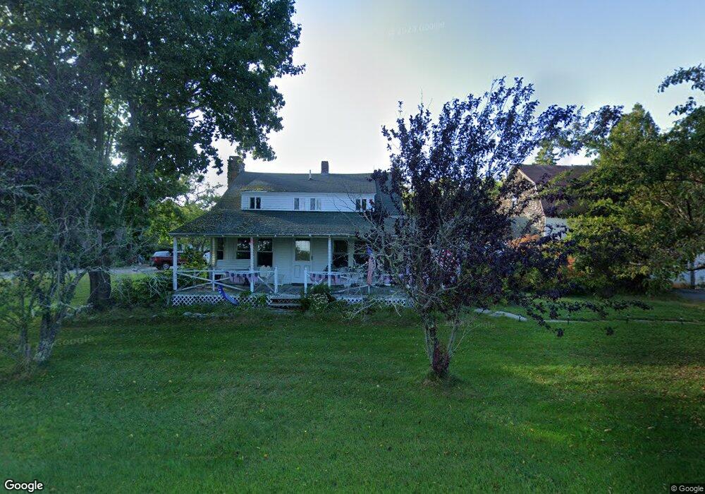
769 Oak Point Rd Trenton, ME 04605
Estimated Value: $385,000 - $479,000
3
Beds
2
Baths
1,720
Sq Ft
$260/Sq Ft
Est. Value
About This Home
This home is located at 769 Oak Point Rd, Trenton, ME 04605 and is currently estimated at $447,625, approximately $260 per square foot. 769 Oak Point Rd is a home located in Hancock County with nearby schools including Trenton Elementary School.
Ownership History
Date
Name
Owned For
Owner Type
Purchase Details
Closed on
Oct 2, 2012
Sold by
Hanscom Lisa E
Bought by
Winger Todd C and Winger Lisa E
Current Estimated Value
Purchase Details
Closed on
Mar 28, 2005
Sold by
Dyer Geraldine A
Bought by
Hanscom Lisa E
Home Financials for this Owner
Home Financials are based on the most recent Mortgage that was taken out on this home.
Original Mortgage
$141,000
Interest Rate
5.56%
Mortgage Type
Commercial
Create a Home Valuation Report for This Property
The Home Valuation Report is an in-depth analysis detailing your home's value as well as a comparison with similar homes in the area
Home Values in the Area
Average Home Value in this Area
Purchase History
| Date | Buyer | Sale Price | Title Company |
|---|---|---|---|
| Winger Todd C | -- | -- | |
| Hanscom Lisa E | -- | -- |
Source: Public Records
Mortgage History
| Date | Status | Borrower | Loan Amount |
|---|---|---|---|
| Previous Owner | Hanscom Lisa E | $141,000 |
Source: Public Records
Tax History Compared to Growth
Tax History
| Year | Tax Paid | Tax Assessment Tax Assessment Total Assessment is a certain percentage of the fair market value that is determined by local assessors to be the total taxable value of land and additions on the property. | Land | Improvement |
|---|---|---|---|---|
| 2024 | $3,590 | $305,500 | $69,900 | $235,600 |
| 2023 | $3,127 | $207,900 | $46,600 | $161,300 |
| 2022 | $2,896 | $207,900 | $46,600 | $161,300 |
| 2021 | $2,848 | $207,900 | $46,600 | $161,300 |
| 2020 | $1,453 | $207,900 | $46,600 | $161,300 |
| 2019 | $2,483 | $208,500 | $46,600 | $161,900 |
| 2018 | $2,250 | $209,100 | $46,600 | $162,500 |
| 2017 | $2,101 | $209,300 | $46,600 | $162,700 |
| 2016 | $2,098 | $209,200 | $46,600 | $162,600 |
| 2015 | $2,131 | $208,900 | $46,600 | $162,300 |
| 2014 | $2,131 | $208,900 | $46,600 | $162,300 |
| 2013 | $2,181 | $209,700 | $46,600 | $163,100 |
Source: Public Records
Map
Nearby Homes
- 001-108 Oak Point Rd
- 35 Nutting Ln
- 48 Sheltons Rd
- 58 Pressey Ln
- 53 Woodland Dr
- 363 Oak Point Rd
- 37 Hanna Dr
- 31 Daybreak Ln
- 16 Blodgett Dr
- 16 Blodgett Ln
- 0 Country Way
- 1274 Bayside Rd
- 1439 State Highway 102
- 85 Bonsey Ln
- Lot 38 Arrowhead Rd
- 005 Newbury Neck Rd
- Lot 79-01 Knox Rd
- Lot 5 Aspen Way
- Lot 7 Aspen Way
- 159 Gilbert Farm Rd
- 764 Oak Point Rd
- 772 Oak Point Rd
- 760 Oak Point Rd
- 24 Comfort Ln
- Lot 49-1 Comfort Ln
- 747 Oak Point Rd
- 16 Eider Way Ln
- 0 Route 230 Unit 416413
- 0 Route 230 Unit 416409
- 0 Rt 230
- 0 Route 230 Unit 301225
- 0 Route 230 Unit 266412
- 0 Route 230 Unit 248393
- 0 Rte 230
- 0 Rt 230 Lot B
- 0 Route 230 Unit 513995
- 0 Route 230 Unit 268316
- xxxxx Oak Point Rd
- 0 Route 230 Unit 468611
- 0 Route 230 Unit 280700