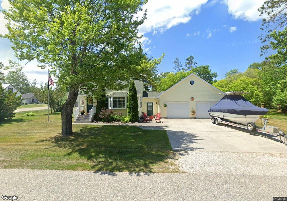
769 Pinewood Ave Rogers City, MI 49779
Estimated Value: $142,000 - $255,000
2
Beds
1
Bath
1,093
Sq Ft
$180/Sq Ft
Est. Value
About This Home
This home is located at 769 Pinewood Ave, Rogers City, MI 49779 and is currently estimated at $197,020, approximately $180 per square foot. 769 Pinewood Ave is a home located in Presque Isle County with nearby schools including Rogers City Elementary School, Rogers City High School, and Rogers City Montessori School.
Ownership History
Date
Name
Owned For
Owner Type
Purchase Details
Closed on
Jul 29, 2013
Sold by
Derry Herbert and Derry Betty
Bought by
Beaulieu Ronald P and Beaulieu Kathleen M
Current Estimated Value
Home Financials for this Owner
Home Financials are based on the most recent Mortgage that was taken out on this home.
Original Mortgage
$68,000
Interest Rate
4.49%
Mortgage Type
Purchase Money Mortgage
Purchase Details
Closed on
Jul 28, 2008
Sold by
Derry Herbert and Derry Betty
Bought by
Derry Herbert and Derry Betty
Create a Home Valuation Report for This Property
The Home Valuation Report is an in-depth analysis detailing your home's value as well as a comparison with similar homes in the area
Home Values in the Area
Average Home Value in this Area
Purchase History
| Date | Buyer | Sale Price | Title Company |
|---|---|---|---|
| Beaulieu Ronald P | $85,000 | -- | |
| Derry Herbert | -- | -- |
Source: Public Records
Mortgage History
| Date | Status | Borrower | Loan Amount |
|---|---|---|---|
| Closed | Beaulieu Ronald P | $68,000 |
Source: Public Records
Tax History Compared to Growth
Tax History
| Year | Tax Paid | Tax Assessment Tax Assessment Total Assessment is a certain percentage of the fair market value that is determined by local assessors to be the total taxable value of land and additions on the property. | Land | Improvement |
|---|---|---|---|---|
| 2025 | $1,757 | $89,900 | $0 | $0 |
| 2024 | $1,402 | $78,500 | $0 | $0 |
| 2023 | $1,338 | $66,300 | $0 | $0 |
| 2022 | $1,620 | $61,200 | $0 | $0 |
| 2021 | $1,949 | $54,400 | $0 | $0 |
| 2020 | $2,270 | $50,400 | $0 | $0 |
| 2019 | $2,228 | $48,700 | $0 | $0 |
| 2018 | $2,176 | $42,100 | $0 | $0 |
| 2016 | -- | $38,300 | $0 | $0 |
| 2014 | -- | $39,000 | $0 | $0 |
Source: Public Records
Map
Nearby Homes
- 1089 Dettloff St
- 1053 St Paul St
- 1194 Larke Ave
- 440 Hemlock St
- 354 N 6th St
- 1334 N Cedar St
- 360 E Huron Ave
- 335 S 4th St
- 0 M-68 Unit 201836886
- 0 M-68 Unit 28 Acres 201828504
- 312 E Orchard St
- 0 451 Hwy Unit 201834784
- 0 Airport Hwy & County Road 451 Unit 201836885
- 0 Airport Hwy Unit 201836889
- 0 Airport Hwy Unit 201836891
- 0 M-68 Hwy and Airport Rd Unit 201836887
- V/L W Airport Hwy
- 0 W Airport Hwy Unit 201835935
- 1367 Wenzel Hwy
- 1473 W Heythaler Hwy
- 795 Pinewood Ave
- 1178 Birchwood Ave
- 1131 Birchwood Ave
- 1163 Birchwood Ave
- 758 Linden St
- 1171 Birchwood Ave
- 745 Pinewood Ave
- 745 Pinewood Ave
- 1115 Lakeview Dr
- 741 Pinewood Ave
- 735 Pinewood Ave
- 1154 W 3rd St
- 1120 W 3rd St
- 1210 Birchwood Ave
- 720 Charles St
- 734 Charles St
- 1205 Birchwood Ave
- 1162 W 3rd St
- 750 Charles St
- 1108 W 3rd St