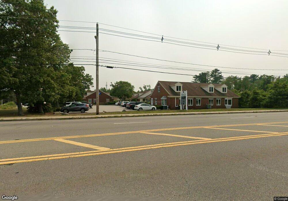
769 Plain St Unit L Marshfield, MA 02050
Estimated Value: $299,363
Studio
2
Baths
1,523
Sq Ft
$197/Sq Ft
Est. Value
About This Home
This home is located at 769 Plain St Unit L, Marshfield, MA 02050 and is currently priced at $299,363, approximately $196 per square foot. 769 Plain St Unit L is a home located in Plymouth County with nearby schools including Martinson Elementary School, Furnace Brook Middle School, and Marshfield High School.
Ownership History
Date
Name
Owned For
Owner Type
Purchase Details
Closed on
Jul 1, 2025
Sold by
Mafera Robert and Mafera Gay
Bought by
Sheehan Christopher M and Sheehan Rachel C
Current Estimated Value
Purchase Details
Closed on
Feb 23, 2012
Sold by
Vp Rt and Boxter-Boyle
Bought by
Mafera Robert and Mafera Gary
Purchase Details
Closed on
Oct 30, 1998
Sold by
Turner Arthur R and Turner Mary E
Bought by
Vp Rt and Baxter-Boyle
Home Financials for this Owner
Home Financials are based on the most recent Mortgage that was taken out on this home.
Original Mortgage
$76,000
Interest Rate
6.68%
Mortgage Type
Commercial
Create a Home Valuation Report for This Property
The Home Valuation Report is an in-depth analysis detailing your home's value as well as a comparison with similar homes in the area
Home Values in the Area
Average Home Value in this Area
Purchase History
| Date | Buyer | Sale Price | Title Company |
|---|---|---|---|
| Sheehan Christopher M | $250,005 | -- | |
| Sheehan Christopher M | $250,005 | -- | |
| Mafera Robert | $125,000 | -- | |
| Mafera Robert | $125,000 | -- | |
| Mafera Robert | $125,000 | -- | |
| Vp Rt | $92,000 | -- | |
| Vp Rt | $92,000 | -- |
Source: Public Records
Mortgage History
| Date | Status | Borrower | Loan Amount |
|---|---|---|---|
| Previous Owner | Vp Rt | $100,000 | |
| Previous Owner | Vp Rt | $76,000 |
Source: Public Records
Tax History
| Year | Tax Paid | Tax Assessment Tax Assessment Total Assessment is a certain percentage of the fair market value that is determined by local assessors to be the total taxable value of land and additions on the property. | Land | Improvement |
|---|---|---|---|---|
| 2025 | $2,046 | $206,700 | $0 | $206,700 |
| 2024 | $2,245 | $216,100 | $0 | $216,100 |
| 2023 | $2,253 | $216,100 | $0 | $216,100 |
| 2022 | $2,253 | $174,000 | $0 | $174,000 |
| 2021 | $2,295 | $174,000 | $0 | $174,000 |
| 2020 | $2,319 | $174,000 | $0 | $174,000 |
| 2019 | $2,328 | $174,000 | $0 | $174,000 |
| 2018 | $2,326 | $174,000 | $0 | $174,000 |
| 2017 | $2,467 | $179,800 | $0 | $179,800 |
| 2016 | $2,496 | $179,800 | $0 | $179,800 |
| 2015 | $2,174 | $163,600 | $0 | $163,600 |
| 2014 | $1,830 | $137,700 | $0 | $137,700 |
Source: Public Records
Map
Nearby Homes
- 848 Plain St Unit 41
- 848 Plain St Unit 23
- 451 School St Unit 5-2
- 2 Proprietors Dr Unit 25
- 2 Proprietors Dr Unit 26
- 2 Proprietors Dr Unit 27
- 10 Royal Dane Dr Unit 85
- 5 Royal Dane Dr Unit 45
- 3 Red Pony Path Unit 3
- 167 Planting Field Rd
- 889 Old Main Street Extension
- 341 Furnace St
- 60 Samuel Curtis Way
- 6 Hillside Ln
- 387 North St
- 235 Main St
- 14 Ferry St
- 1155 Main St
- 7 Spring St
- 1 Valley Path
- 769 Plain St Unit D
- 769 Plain St Unit G
- 769 Plain St Unit M & N
- 769 Plain St
- 795 Plain St
- 784 Plain St
- 733 Plain St
- 754 Plain St
- 760 Plain St Unit 1A
- 760 Plain St Unit Rear
- 762 Plain St
- 760 Plain St Unit 760,762,764
- 752 Plain St
- 764 Plain St Unit 1-3
- 764 Plain St Unit 21-26
- 725 Plain St
- U-4 848 Plain St Unit 4
- 709 Plain St
- 697 Plain St
- 738 Plain St
Your Personal Tour Guide
Ask me questions while you tour the home.