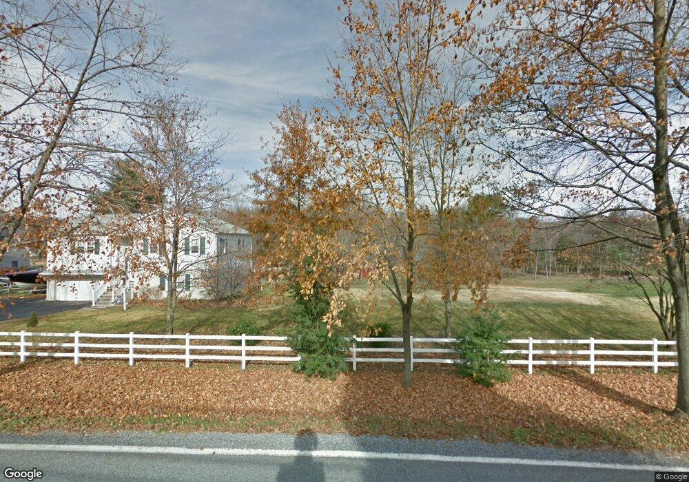
769 Pughtown Rd Spring City, PA 19475
Estimated Value: $405,000 - $454,000
4
Beds
3
Baths
1,276
Sq Ft
$339/Sq Ft
Est. Value
About This Home
This home is located at 769 Pughtown Rd, Spring City, PA 19475 and is currently estimated at $432,734, approximately $339 per square foot. 769 Pughtown Rd is a home located in Chester County with nearby schools including French Creek Elementary School, Owen J Roberts Middle School, and Owen J Roberts High School.
Ownership History
Date
Name
Owned For
Owner Type
Purchase Details
Closed on
Jan 7, 2015
Sold by
Lessig Richard A and Lessig Charlotte
Bought by
Kunzelman Mark and Kunzelman Denise
Current Estimated Value
Home Financials for this Owner
Home Financials are based on the most recent Mortgage that was taken out on this home.
Original Mortgage
$208,000
Outstanding Balance
$160,196
Interest Rate
3.99%
Mortgage Type
New Conventional
Estimated Equity
$272,538
Purchase Details
Closed on
Feb 1, 1979
Bought by
Lessig Albert L and Lessig Charlotte
Create a Home Valuation Report for This Property
The Home Valuation Report is an in-depth analysis detailing your home's value as well as a comparison with similar homes in the area
Home Values in the Area
Average Home Value in this Area
Purchase History
| Date | Buyer | Sale Price | Title Company |
|---|---|---|---|
| Kunzelman Mark | $260,000 | None Available | |
| Lessig Albert L | $67,000 | -- |
Source: Public Records
Mortgage History
| Date | Status | Borrower | Loan Amount |
|---|---|---|---|
| Open | Kunzelman Mark | $208,000 |
Source: Public Records
Tax History Compared to Growth
Tax History
| Year | Tax Paid | Tax Assessment Tax Assessment Total Assessment is a certain percentage of the fair market value that is determined by local assessors to be the total taxable value of land and additions on the property. | Land | Improvement |
|---|---|---|---|---|
| 2025 | $5,287 | $133,600 | $38,330 | $95,270 |
| 2024 | $5,287 | $133,600 | $38,330 | $95,270 |
| 2023 | $5,208 | $133,600 | $38,330 | $95,270 |
| 2022 | $5,120 | $133,600 | $38,330 | $95,270 |
| 2021 | $5,055 | $133,600 | $38,330 | $95,270 |
| 2020 | $4,920 | $133,600 | $38,330 | $95,270 |
| 2019 | $4,824 | $133,600 | $38,330 | $95,270 |
| 2018 | $4,726 | $133,600 | $38,330 | $95,270 |
| 2017 | $4,609 | $133,600 | $38,330 | $95,270 |
| 2016 | $4,022 | $133,600 | $38,330 | $95,270 |
| 2015 | $4,022 | $133,600 | $38,330 | $95,270 |
| 2014 | $4,022 | $133,600 | $38,330 | $95,270 |
Source: Public Records
Map
Nearby Homes
- 108 Hartman Rd
- 176 Bucktown Crossing Unit 42C
- 124 Bucktown Crossing Unit 31C
- 3381 Coventryville Rd
- 3251 Coventryville Rd
- 3221 Coventryville Rd
- 1623 Hilltop Rd
- 1630 Sheeder Mill Rd
- 3896 Coventryville Rd
- 1547 Pottstown Pike
- 1672 Hollow Rd
- 1420 Hollow Rd
- 1381 School House Ln
- 287 Kulp Rd
- 746 W Hoffecker Rd
- 1284 School House Ln
- 1378 S Hanover St
- 818 Graphite Dr
- 826 Graphite Dr
- 150 Horseshoe Ln
- 773 Pughtown Rd
- 765 Pughtown Rd
- 110 Rabbit Run
- 120 Rabbit Run
- 775 Pughtown Rd
- 768 Pughtown Rd
- 766 Pughtown Rd
- 779 Pughtown Rd
- 736 Pughtown Rd
- 100 Rabbit Run
- 783 Pughtown Rd
- 120 Lindley Ln
- 730 Pughtown Rd
- 122 Lindley Ln
- 780 Pughtown Rd
- 118 Lindley Ln
- 720 Pughtown Rd
- 124 Lindley Ln
- 787 Pughtown Rd
- 116 Lindley Ln