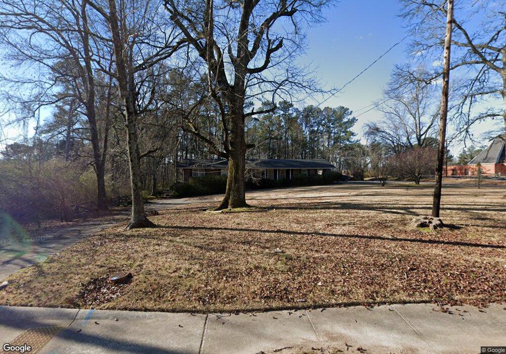
769 S Gordon Rd Austell, GA 30168
Estimated Value: $318,000 - $420,000
2
Beds
2
Baths
3,550
Sq Ft
$102/Sq Ft
Est. Value
About This Home
This home is located at 769 S Gordon Rd, Austell, GA 30168 and is currently estimated at $362,197, approximately $102 per square foot. 769 S Gordon Rd is a home located in Cobb County with nearby schools including Bryant Elementary School, Lindley Middle School, and Pebblebrook High School.
Ownership History
Date
Name
Owned For
Owner Type
Purchase Details
Closed on
Aug 19, 2022
Sold by
Talton Ii James E
Bought by
Brown Reginald Antonio and Brown Jamil Talton
Current Estimated Value
Home Financials for this Owner
Home Financials are based on the most recent Mortgage that was taken out on this home.
Original Mortgage
$254,375
Outstanding Balance
$242,443
Interest Rate
5.3%
Mortgage Type
FHA
Estimated Equity
$119,754
Purchase Details
Closed on
Jan 29, 2004
Sold by
Estes Edna M B
Bought by
Talton James E and Talton Shelia
Home Financials for this Owner
Home Financials are based on the most recent Mortgage that was taken out on this home.
Original Mortgage
$150,000
Interest Rate
5.72%
Mortgage Type
New Conventional
Create a Home Valuation Report for This Property
The Home Valuation Report is an in-depth analysis detailing your home's value as well as a comparison with similar homes in the area
Home Values in the Area
Average Home Value in this Area
Purchase History
| Date | Buyer | Sale Price | Title Company |
|---|---|---|---|
| Brown Reginald Antonio | $325,000 | None Listed On Document | |
| Talton James E | $150,000 | -- |
Source: Public Records
Mortgage History
| Date | Status | Borrower | Loan Amount |
|---|---|---|---|
| Open | Brown Reginald Antonio | $254,375 | |
| Previous Owner | Talton James E | $150,000 |
Source: Public Records
Tax History Compared to Growth
Tax History
| Year | Tax Paid | Tax Assessment Tax Assessment Total Assessment is a certain percentage of the fair market value that is determined by local assessors to be the total taxable value of land and additions on the property. | Land | Improvement |
|---|---|---|---|---|
| 2025 | $3,186 | $105,736 | $14,696 | $91,040 |
| 2024 | $3,188 | $105,736 | $14,696 | $91,040 |
| 2023 | $2,772 | $91,940 | $12,780 | $79,160 |
Source: Public Records
Map
Nearby Homes
- 760 Wade Farm Dr
- 760 W Starling Dr SW
- 739 Gardner St
- 6964 Chasewater Ln
- 1090 Blair Bridge Rd
- 1086 S Gordon Rd
- 6914 Fairway Trail
- 6991 Sibyl Dr
- 7151 Springchase Way
- 7098 Pleasant Dr
- 373 Waterbluff Dr SW
- 0 Hembree Ln Unit 10633605
- 00 Hembree Ln
- 365 Waterbluff Dr SW
- 368 Waterbluff Dr SW
- 364 Waterbluff Dr SW
- 817 Revena Dr
- 796 Crestside Ct Unit 1
- 7063 Pleasant Dr
- 840 Revena Dr
- 0 S Gordon Rd
- 00 S Gordon Rd
- 0 S Gordon Rd Unit 10053963
- 0 S Gordon Rd Unit B 10260688
- 0 S Gordon Rd Unit 7346342
- 0 S Gordon Rd Unit 8901421
- 777 S Gordon Rd
- 794 S Gordon Rd
- 768 S Gordon Rd
- 754 Wade Farm Dr
- 748 Wade Farm Dr
- 760 Wade Farm D Dr Unit 6
- 742 Wade Farm Dr
- 766 Wade Farm Dr
- 772 Wade Farm Dr
- 705 S Gordon Rd SW
- 736 Wade Farm Dr
- 778 Wade Farm Dr
- 690 S Gordon Rd SW
- 690 S Gordon Rd SW Unit E