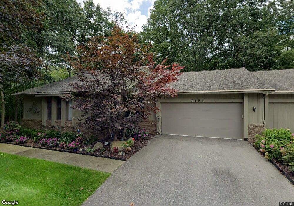
7690 Cedar Ridge West Bloomfield, MI 48324
West Bloomfield Township NeighborhoodEstimated Value: $415,461 - $524,000
2
Beds
2
Baths
1,930
Sq Ft
$247/Sq Ft
Est. Value
About This Home
This home is located at 7690 Cedar Ridge, West Bloomfield, MI 48324 and is currently estimated at $475,865, approximately $246 per square foot. 7690 Cedar Ridge is a home located in Oakland County with nearby schools including Clifford H. Smart Middle School, Walled Lake Northern High School, and Our Lady Of Refuge School.
Ownership History
Date
Name
Owned For
Owner Type
Purchase Details
Closed on
Jan 18, 2024
Sold by
Lyons Carol
Bought by
Lyons Carol and Carol M Lyons Revocable Trust
Current Estimated Value
Purchase Details
Closed on
Aug 31, 2023
Sold by
Rachel Brennan Trust
Bought by
Lyons Carol
Purchase Details
Closed on
May 12, 2014
Sold by
Brennan Rachel M
Bought by
Rachel M Brennan Trust
Purchase Details
Closed on
Jan 11, 2013
Sold by
Long Charles W and Long Eileen L
Bought by
Brennan Rachel M
Home Financials for this Owner
Home Financials are based on the most recent Mortgage that was taken out on this home.
Original Mortgage
$152,000
Interest Rate
3.31%
Mortgage Type
New Conventional
Create a Home Valuation Report for This Property
The Home Valuation Report is an in-depth analysis detailing your home's value as well as a comparison with similar homes in the area
Home Values in the Area
Average Home Value in this Area
Purchase History
| Date | Buyer | Sale Price | Title Company |
|---|---|---|---|
| Lyons Carol | -- | None Listed On Document | |
| Lyons Carol | -- | None Listed On Document | |
| Lyons Carol | $410,000 | First American Title | |
| Lyons Carol | $410,000 | First American Title | |
| Rachel M Brennan Trust | -- | None Available | |
| Brennan Rachel M | $193,500 | Capital Title Ins Agency |
Source: Public Records
Mortgage History
| Date | Status | Borrower | Loan Amount |
|---|---|---|---|
| Previous Owner | Brennan Rachel M | $152,000 |
Source: Public Records
Tax History
| Year | Tax Paid | Tax Assessment Tax Assessment Total Assessment is a certain percentage of the fair market value that is determined by local assessors to be the total taxable value of land and additions on the property. | Land | Improvement |
|---|---|---|---|---|
| 2025 | $5,870 | $202,710 | $25,000 | $177,710 |
| 2024 | $3,391 | $174,380 | $0 | $0 |
| 2022 | $2,110 | $150,010 | $25,000 | $125,010 |
| 2021 | $3,477 | $148,630 | $0 | $0 |
| 2020 | $2,086 | $137,410 | $25,250 | $112,160 |
| 2018 | $3,378 | $110,520 | $25,250 | $85,270 |
| 2015 | -- | $96,780 | $0 | $0 |
| 2014 | -- | $91,020 | $0 | $0 |
| 2011 | -- | $89,690 | $0 | $0 |
Source: Public Records
Map
Nearby Homes
- 7956 Billingham Rd
- 3280 Chambourne St
- VAC Massena Ave
- 7369 Sweetbriar
- 8226 Dickert St
- 8304 Arlis St
- 7110 Commerce Rd
- 8330 Dickert St
- 8491 Joseph St
- 8511 Joseph St
- 2475 Horace St
- 2757 W Bloomfield Oaks Dr
- 2517 Massena St
- 2380 Rolandale
- 8605 Edgewood Park Dr
- 6885 Aeroview St
- 6847 Alden Dr
- 6707 Heatherwood Dr
- 3765 Woodview Ave
- 8723 Ringwood Dr
- 7670 Cedar Ridge
- 7710 Linden Dr Unit J18
- 7650 Linden Dr
- 7590 Hemlock Dr
- 7805 Commerce Rd
- 7805 Commerce Rd Unit 38474655
- 7805 Commerce Rd Unit 38352045
- 7630 Linden Dr Unit K20
- 7810 Bywater
- 3158 Winterberry Dr
- 7640 Linden Dr
- 7720 Linden Dr
- 7660 Linden Dr
- 7680 Cedar Ridge
- 7700 Cedar Ridge Unit 12
- 7580 Hemlock Dr
- 7560 Hemlock Dr
- 7520 Red Oak Dr Unit A2
- 7680 Cedar Ridge Unit 13
- 7520 Red Oak Dr Unit 2
Your Personal Tour Guide
Ask me questions while you tour the home.