7690 Morrison Rd Greenleaf, WI 54126
Estimated Value: $60,000 - $479,037
Studio
--
Bath
--
Sq Ft
222,112
Sq Ft Lot
About This Home
This home is located at 7690 Morrison Rd, Greenleaf, WI 54126 and is currently estimated at $370,009. 7690 Morrison Rd is a home located in Brown County with nearby schools including Wrightstown Elementary School, Wrightstown Middle School, and Wrightstown High School.
Ownership History
Date
Name
Owned For
Owner Type
Purchase Details
Closed on
Nov 5, 2020
Sold by
Koomen Gary L and Koomen Joy L
Bought by
Novitski Charles J and Novitski Amanda J
Current Estimated Value
Purchase Details
Closed on
Aug 31, 2016
Sold by
Koomen Gary L and Koomen Joy L
Bought by
Novitski Charles J and Novitski Amanda J
Home Financials for this Owner
Home Financials are based on the most recent Mortgage that was taken out on this home.
Original Mortgage
$15,000
Interest Rate
3%
Mortgage Type
Land Contract Argmt. Of Sale
Create a Home Valuation Report for This Property
The Home Valuation Report is an in-depth analysis detailing your home's value as well as a comparison with similar homes in the area
Purchase History
| Date | Buyer | Sale Price | Title Company |
|---|---|---|---|
| Novitski Charles J | -- | None Available | |
| Novitski Charles J | $15,000 | None Available |
Source: Public Records
Mortgage History
| Date | Status | Borrower | Loan Amount |
|---|---|---|---|
| Previous Owner | Novitski Charles J | $15,000 |
Source: Public Records
Tax History
| Year | Tax Paid | Tax Assessment Tax Assessment Total Assessment is a certain percentage of the fair market value that is determined by local assessors to be the total taxable value of land and additions on the property. | Land | Improvement |
|---|---|---|---|---|
| 2025 | $5,518 | $347,900 | $53,900 | $294,000 |
| 2024 | $4,648 | $347,900 | $53,900 | $294,000 |
| 2023 | $4,743 | $347,900 | $53,900 | $294,000 |
| 2022 | $5,102 | $347,900 | $53,900 | $294,000 |
| 2021 | $4,509 | $253,800 | $36,800 | $217,000 |
| 2020 | $4,551 | $253,800 | $36,800 | $217,000 |
| 2019 | $4,273 | $253,800 | $36,800 | $217,000 |
| 2018 | $3,684 | $217,000 | $36,800 | $180,200 |
| 2017 | $3,366 | $217,000 | $36,800 | $180,200 |
| 2016 | $3,425 | $209,100 | $28,900 | $180,200 |
| 2015 | $3,581 | $209,100 | $28,900 | $180,200 |
| 2014 | $3,658 | $217,900 | $31,000 | $186,900 |
| 2013 | $3,658 | $217,900 | $31,000 | $186,900 |
Source: Public Records
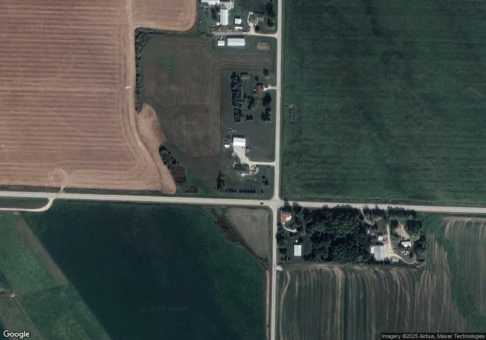
Map
Nearby Homes
- 4215 Hill Rd
- 7207 Fairview Rd
- 4432 Mill Rd
- 0 Dickinson Rd Unit 50196912
- 0 Dickinson Rd Unit 50307782
- 1763 Swiss Alps Ct
- 14936 County Highway K -
- 6500 Deuster Rd
- 1567 Old School Place
- 0 State 96 Unit 50322901
- 5678 Morrison Rd
- 5540 Cty Hwy Pp
- 600 N Main St
- 20401 Sunny Slope Rd
- 722 Lee Ave
- 709 Lee Ave
- 0 Cth W Unit 50320912
- 310 W Ryan St
- 1445 Rockland Heights Rd
- 941 Ledge Way
- 3206 Hill Rd
- 7668 Morrison Rd
- 7648 Morrison Rd
- 3238 Hill Rd
- 7614 Morrison Rd
- 3064 Hill Rd
- 3318 Hill Rd
- 3330 Hill Rd
- 7821 Morrison Rd
- 3342 Hill Rd
- 7848 Morrison Rd
- 7718 Clearing Ln
- 7723 Clearing Ln
- 3051 Hill Rd
- 7893 Morrison Rd
- 3021 Hill Rd
- 3413 Hill Rd
- 7919 Morrison Rd
- 7934 Morrison Rd
- 7470 Morrison Rd
Your Personal Tour Guide
Ask me questions while you tour the home.