7691 E Base Rd Union City, IN 47390
Estimated Value: $138,000 - $290,000
3
Beds
2
Baths
1,836
Sq Ft
$115/Sq Ft
Est. Value
About This Home
This home is located at 7691 E Base Rd, Union City, IN 47390 and is currently estimated at $211,975, approximately $115 per square foot. 7691 E Base Rd is a home with nearby schools including North Side Elementary School and Union City Community Jr/Sr High School.
Ownership History
Date
Name
Owned For
Owner Type
Purchase Details
Closed on
Apr 9, 2013
Sold by
Hufford Travis K
Bought by
Hufford Travis K and Lumpkin Audra
Current Estimated Value
Purchase Details
Closed on
Apr 3, 2013
Sold by
Hufford James N
Bought by
Hufford Travis K
Create a Home Valuation Report for This Property
The Home Valuation Report is an in-depth analysis detailing your home's value as well as a comparison with similar homes in the area
Purchase History
| Date | Buyer | Sale Price | Title Company |
|---|---|---|---|
| Hufford Travis K | -- | None Available | |
| Hufford Travis K | -- | None Available |
Source: Public Records
Tax History
| Year | Tax Paid | Tax Assessment Tax Assessment Total Assessment is a certain percentage of the fair market value that is determined by local assessors to be the total taxable value of land and additions on the property. | Land | Improvement |
|---|---|---|---|---|
| 2024 | $1,520 | $167,100 | $18,300 | $148,800 |
| 2023 | $2,058 | $212,700 | $18,300 | $194,400 |
| 2022 | $2,228 | $206,500 | $18,300 | $188,200 |
| 2021 | $2,155 | $199,600 | $27,300 | $172,300 |
| 2020 | $1,214 | $142,500 | $24,800 | $117,700 |
| 2019 | $1,081 | $135,500 | $21,700 | $113,800 |
| 2018 | $1,052 | $137,700 | $22,700 | $115,000 |
| 2017 | $925 | $133,000 | $21,700 | $111,300 |
| 2016 | $849 | $128,400 | $19,700 | $108,700 |
| 2014 | $803 | $125,700 | $19,700 | $106,000 |
Source: Public Records
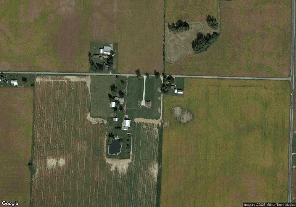
Map
Nearby Homes
- 1246 S State Road 32
- 0000 E 100 S
- 2050 Frank Miller Rd
- 800 W Chestnut St
- 9299 Worth Rd
- 0 County Road 700 E
- 227 South St
- 1210 W Hickory St
- 223 S Market St
- 224 N Howard St
- 226 E Main St
- 424 W Hickory St
- 0 Co Rd 700 E Unit 1042720
- 1013 Caroline Ave
- 228 W Division St
- 612 N Howard St
- LOT 19 & 20 Governor Isaac P Gray Add
- LOT 18 Governor Isaac P Gray Add
- LOT 9 Governor P Isaac Add
- 502 Leahey St
- 7663 E Base Rd
- 7759 E Base Rd
- 7640 E Base Rd
- 7439 E Base Rd
- 31.693 Cr 227
- 198 N State Road 227
- 149 S State Road 227
- 7105 E Base Rd
- 235 N State Road 227
- 188 N Arba Pike
- 415 N State Road 227
- 500 S State Road 227
- 501 S State Road 227
- 318 N Arba Pike
- 570 S State Road 227
- 648 N State Road 227
- 902 N State Road 227
- 472 S Arba Pike
- 655 N State Road 227
- 591 N Arba Pike