7693 Bob Allen Rd Freetown, IN 47235
Estimated Value: $244,000 - $298,000
3
Beds
1
Bath
1,668
Sq Ft
$162/Sq Ft
Est. Value
About This Home
This home is located at 7693 Bob Allen Rd, Freetown, IN 47235 and is currently estimated at $270,332, approximately $162 per square foot. 7693 Bob Allen Rd is a home located in Brown County with nearby schools including Brown County High School.
Ownership History
Date
Name
Owned For
Owner Type
Purchase Details
Closed on
Jul 25, 2022
Sold by
Campbell Tyler and Campbell Leaina
Bought by
Campbell Tyler and Campbell Leaina
Current Estimated Value
Home Financials for this Owner
Home Financials are based on the most recent Mortgage that was taken out on this home.
Original Mortgage
$162,800
Outstanding Balance
$155,098
Interest Rate
5.25%
Mortgage Type
FHA
Estimated Equity
$115,234
Create a Home Valuation Report for This Property
The Home Valuation Report is an in-depth analysis detailing your home's value as well as a comparison with similar homes in the area
Home Values in the Area
Average Home Value in this Area
Purchase History
| Date | Buyer | Sale Price | Title Company |
|---|---|---|---|
| Campbell Tyler | -- | None Listed On Document |
Source: Public Records
Mortgage History
| Date | Status | Borrower | Loan Amount |
|---|---|---|---|
| Open | Campbell Tyler | $162,800 |
Source: Public Records
Tax History Compared to Growth
Tax History
| Year | Tax Paid | Tax Assessment Tax Assessment Total Assessment is a certain percentage of the fair market value that is determined by local assessors to be the total taxable value of land and additions on the property. | Land | Improvement |
|---|---|---|---|---|
| 2024 | $562 | $193,300 | $50,000 | $143,300 |
| 2023 | $505 | $172,700 | $40,000 | $132,700 |
| 2022 | $428 | $133,200 | $35,000 | $98,200 |
| 2021 | $389 | $116,500 | $35,000 | $81,500 |
| 2020 | $332 | $108,500 | $27,500 | $81,000 |
| 2019 | $308 | $103,900 | $27,500 | $76,400 |
| 2018 | $297 | $88,100 | $27,500 | $60,600 |
| 2017 | $287 | $83,500 | $27,500 | $56,000 |
| 2016 | $265 | $81,300 | $27,500 | $53,800 |
| 2014 | $209 | $75,800 | $27,500 | $48,300 |
| 2013 | $209 | $74,200 | $27,500 | $46,700 |
Source: Public Records
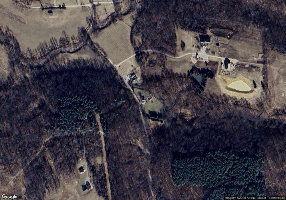
Map
Nearby Homes
- 7693 S Bob Allen Rd
- 7275 Hamilton Creek Rd
- XXXX Keith Donaldson Rd
- 8650 Mount Nebo Rd
- 6913 Poplar Grove Rd
- 6985 Poplar Grove Rd
- 7932 S Mount Nebo Rd
- 9601 Buffalo Pike
- 6947 Poplar Grove Rd
- 6873 Poplar Grove Rd
- 00 Lutheran Lake Rd
- 5217 Bellsville Pike
- 11000 N County Road 650 W
- 4410 State Rd 135
- 4568 State Road 135 S
- 3978 State Road 135 S
- 2000 Block W 1125 N
- 14000 W Lake Rd
- 14000 W Mt Healthy Rd
- 14000 W Mount Healthy Rd
- 7595 Bob Allen Rd
- 7794 Bob Allen Rd
- 0 S Bob Allen Rd
- 0 Bob Allen Rd
- 00 Bob Allen Rd
- 000 Bob Allen Rd
- 0 Bob Allen Rd Unit MBR21307758
- 0 Bob Allen Rd Unit 21619922
- 7275 Hamilton Creek Rd
- 7960 Bob Allen Rd
- 7275 S Hamilton Creek Rd
- 7354 S Hamilton Creek Rd
- 7316 S Hamilton Creek Rd
- 8430 Bob Allen Rd
- XXXX Hamilton Creek Rd
- 7252 Hamilton Creek Rd
- 7551 Hartshaven Ln
- 7240 S Hamilton Creek Rd
- 7065 Christianburg Rd
- 7210 S Hamilton Creek Rd