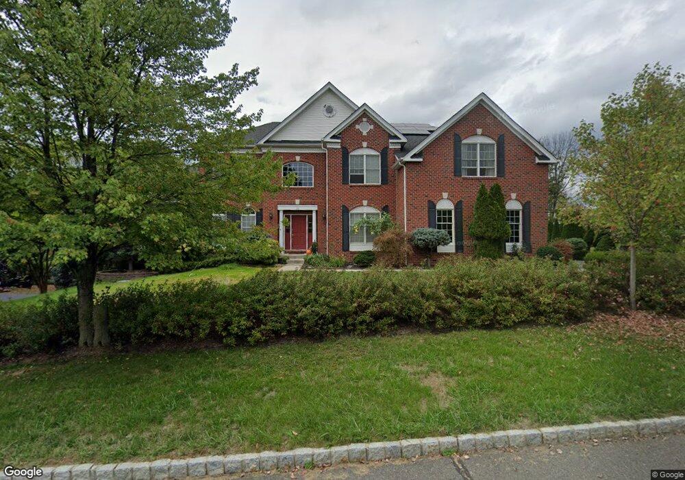
77 Albert Dr Clinton, NJ 08809
Estimated Value: $923,802 - $1,105,000
Studio
--
Bath
4,160
Sq Ft
$247/Sq Ft
Est. Value
About This Home
This home is located at 77 Albert Dr, Clinton, NJ 08809 and is currently estimated at $1,028,951, approximately $247 per square foot. 77 Albert Dr is a home located in Hunterdon County with nearby schools including Union Township Elementary School, Union Township Middle School, and North Hunterdon High School.
Ownership History
Date
Name
Owned For
Owner Type
Purchase Details
Closed on
Jul 17, 2007
Sold by
Toll Land Iv Lp
Bought by
Dong Yong Z and Ruan Hong
Current Estimated Value
Home Financials for this Owner
Home Financials are based on the most recent Mortgage that was taken out on this home.
Original Mortgage
$300,000
Outstanding Balance
$190,235
Interest Rate
6.78%
Mortgage Type
Purchase Money Mortgage
Estimated Equity
$838,716
Create a Home Valuation Report for This Property
The Home Valuation Report is an in-depth analysis detailing your home's value as well as a comparison with similar homes in the area
Home Values in the Area
Average Home Value in this Area
Purchase History
| Date | Buyer | Sale Price | Title Company |
|---|---|---|---|
| Dong Yong Z | $816,535 | Westerminster Title Agency |
Source: Public Records
Mortgage History
| Date | Status | Borrower | Loan Amount |
|---|---|---|---|
| Open | Dong Yong Z | $300,000 |
Source: Public Records
Tax History
| Year | Tax Paid | Tax Assessment Tax Assessment Total Assessment is a certain percentage of the fair market value that is determined by local assessors to be the total taxable value of land and additions on the property. | Land | Improvement |
|---|---|---|---|---|
| 2025 | $16,776 | $791,700 | $237,400 | $554,300 |
| 2024 | $16,871 | $791,700 | $237,400 | $554,300 |
Source: Public Records
Map
Nearby Homes
- 22 Sam Bonnell Dr Unit C0204
- 93 Overlook Dr Unit 195E
- 94 N Slope
- 12 N Slope
- 4 The Crescent
- 16 Glacier Way
- 22 Oakwood Blvd
- 61 and 63 W Main St
- 58 Oakwood Blvd
- 7 Rachel Ct
- 4 Fox Chase Turn
- 759 Mechlin Corner Rd
- 36 Crestview Dr
- 66 Leigh St
- 217 van Syckels Rd
- 22 Fairview Ave
- 22 Polktown Rd
- 19 S Polktown Rd
- 20 S Polktown Rd
- 3 Fulper Place
Your Personal Tour Guide
Ask me questions while you tour the home.