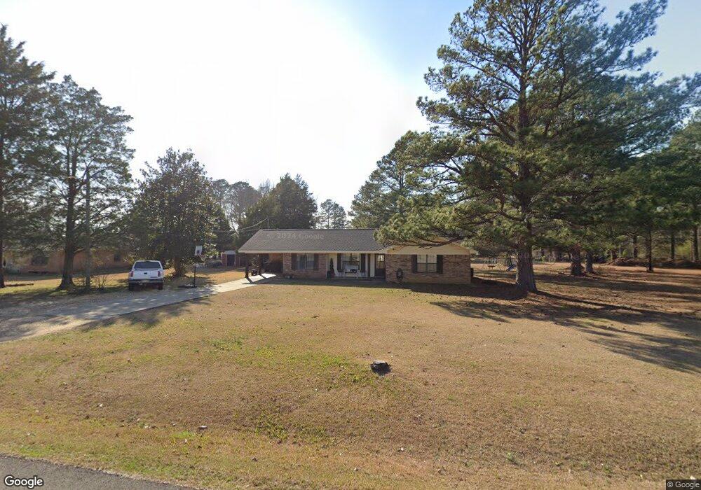
77 Andrews Rd Columbus, MS 39702
Estimated Value: $148,000 - $225,000
Studio
--
Bath
1,616
Sq Ft
$108/Sq Ft
Est. Value
About This Home
This home is located at 77 Andrews Rd, Columbus, MS 39702 and is currently estimated at $174,933, approximately $108 per square foot. 77 Andrews Rd is a home.
Ownership History
Date
Name
Owned For
Owner Type
Purchase Details
Closed on
Feb 24, 2025
Sold by
Brown Matthew M
Bought by
Brown Jessica Wright
Current Estimated Value
Home Financials for this Owner
Home Financials are based on the most recent Mortgage that was taken out on this home.
Original Mortgage
$146,600
Outstanding Balance
$145,626
Interest Rate
7.04%
Mortgage Type
New Conventional
Estimated Equity
$29,307
Purchase Details
Closed on
Jan 10, 2020
Sold by
Huff Mary H
Bought by
Brown Matthew M and Brown Jessica W
Create a Home Valuation Report for This Property
The Home Valuation Report is an in-depth analysis detailing your home's value as well as a comparison with similar homes in the area
Home Values in the Area
Average Home Value in this Area
Purchase History
| Date | Buyer | Sale Price | Title Company |
|---|---|---|---|
| Brown Jessica Wright | -- | None Listed On Document | |
| Brown Jessica Wright | -- | None Listed On Document | |
| Brown Matthew M | -- | None Available |
Source: Public Records
Mortgage History
| Date | Status | Borrower | Loan Amount |
|---|---|---|---|
| Open | Brown Jessica Wright | $146,600 | |
| Closed | Brown Jessica Wright | $146,600 |
Source: Public Records
Tax History
| Year | Tax Paid | Tax Assessment Tax Assessment Total Assessment is a certain percentage of the fair market value that is determined by local assessors to be the total taxable value of land and additions on the property. | Land | Improvement |
|---|---|---|---|---|
| 2025 | $398 | $6,949 | $0 | $0 |
| 2024 | $392 | $6,949 | $0 | $0 |
| 2023 | $338 | $6,045 | $0 | $0 |
| 2022 | $339 | $6,045 | $0 | $0 |
| 2021 | $317 | $6,045 | $0 | $0 |
| 2020 | $0 | $6,045 | $0 | $0 |
| 2019 | $0 | $6,053 | $0 | $0 |
| 2018 | $0 | $6,008 | $0 | $0 |
| 2017 | $0 | $6,008 | $0 | $0 |
| 2016 | $0 | $6,008 | $0 | $0 |
| 2015 | -- | $6,206 | $0 | $0 |
| 2014 | -- | $6,206 | $0 | $0 |
Source: Public Records
Map
Nearby Homes
- 17 Paige Cove
- 178 Rogers Way
- 164 Sleepy Fawn Park
- 333 Drake Cir
- 220 Woodridge Place
- 2654 Yorkville Rd E
- 836 Oswalt Rd
- 16 Jenny Ln
- 346 Williams Place
- 262 Center Rd
- 0 Fiesta Dr
- Lot 3 Lost Lake Hills Rd
- 0 Lost Lake Hills Rd
- 70 Christopher Dr
- 139 Lakeover Dr W
- 248 Lakeover Dr W
- 60 1st Colony Dr
- 9 Monticello Cir
- 190 Lakeover Dr E
- 274 Hughes Rd
- 59 Andrews Rd
- 3513 Yorkville Rd E
- 3493 Yorkville Rd E
- 77 Fowler Dr
- 3477 Yorkville Rd E
- 113 Fowler Dr
- 3471 Yorkville Rd E
- 135 Andrews Rd
- 35 Fowler Dr
- 151 Fowler Dr
- 3508 Yorkville Rd E
- 3500 Yorkville Rd E
- 66 Fowler Dr
- 50 Fowler Dr
- 167 Fowler Dr
- 132 Fowler Dr
- 3391 Yorkville Rd E
- 23 Donna Ln
- 32 Fowler Dr
- 20 Donna Ln
Your Personal Tour Guide
Ask me questions while you tour the home.