77 Angel Ln Blairsville, GA 30512
Estimated Value: $432,000 - $532,000
3
Beds
3
Baths
2,044
Sq Ft
$240/Sq Ft
Est. Value
About This Home
This home is located at 77 Angel Ln, Blairsville, GA 30512 and is currently estimated at $489,683, approximately $239 per square foot. 77 Angel Ln is a home located in Union County with nearby schools including Union County Primary School, Union County Elementary School, and Union County Middle School.
Ownership History
Date
Name
Owned For
Owner Type
Purchase Details
Closed on
Sep 14, 1999
Sold by
Engel Pamela and Engel
Bought by
Engel Pamela
Current Estimated Value
Purchase Details
Closed on
Jan 26, 1996
Sold by
Labosco Joseph P
Bought by
Engel Pamela and Engel
Purchase Details
Closed on
Jan 5, 1996
Sold by
Bobbitt Doris C
Bought by
Labosco Joseph P
Create a Home Valuation Report for This Property
The Home Valuation Report is an in-depth analysis detailing your home's value as well as a comparison with similar homes in the area
Home Values in the Area
Average Home Value in this Area
Purchase History
| Date | Buyer | Sale Price | Title Company |
|---|---|---|---|
| Engel Pamela | -- | -- | |
| Engel Pamela | $45,000 | -- | |
| Labosco Joseph P | $22,300 | -- |
Source: Public Records
Tax History Compared to Growth
Tax History
| Year | Tax Paid | Tax Assessment Tax Assessment Total Assessment is a certain percentage of the fair market value that is determined by local assessors to be the total taxable value of land and additions on the property. | Land | Improvement |
|---|---|---|---|---|
| 2024 | $1,956 | $173,440 | $30,600 | $142,840 |
| 2023 | $2,190 | $172,200 | $30,600 | $141,600 |
| 2022 | $1,716 | $136,600 | $28,360 | $108,240 |
| 2021 | $1,735 | $117,800 | $28,360 | $89,440 |
| 2020 | $1,626 | $93,675 | $27,361 | $66,314 |
| 2019 | $1,533 | $93,675 | $27,361 | $66,314 |
| 2018 | $1,646 | $93,675 | $27,361 | $66,314 |
| 2017 | $1,505 | $93,675 | $27,361 | $66,314 |
| 2016 | $1,505 | $93,675 | $27,361 | $66,314 |
| 2015 | $1,514 | $93,675 | $27,361 | $66,314 |
| 2013 | -- | $93,675 | $27,361 | $66,314 |
Source: Public Records
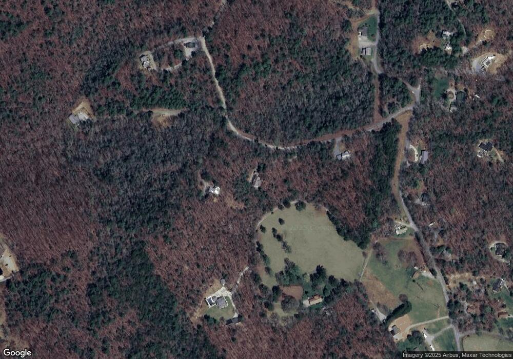
Map
Nearby Homes
- 266 E Wright Rd
- 975 Bunker Hill Rd
- 341 Holly Lane Rd
- 8 Hawks View Ct
- Lot 25 Trailwood Dr
- 0 the Hills Ln Unit 88 10316686
- 0 the Hills Ln Unit 7402098
- LOT #90 the Hills at Queens Gap
- Lt 38&39 the Hills at Queen's Gap
- 106 Lost Trail
- 141 Nathaniels Way
- 0 Nathaniels Way Unit 10438142
- Lot 42 Coras Way Unit 42
- Lot 42 Coras Way
- 42 Southview Ln
- 2092 Pleasant Grove Rd
- LOT 68 Summit Trace
- 329 Ed King Rd
- 0 Summit Trace Unit 10629586
- 463 Roberts Rd
- 95 Peach Mountain Rd
- E E Wright Rd
- 105 Harold Parham Rd
- 13 AC E Wright Rd
- 0 Harold Parham Rd Unit 255398
- 0 Harold Parham Rd Unit 111714
- LT 2 Harold Parham Rd
- LT 1 Harold Parham Rd
- 18 Harold Parham Rd
- LT 1 Bunker Hill Rd
- LT 3 Bunker Hill Rd
- 0 Bunker Hill Rd Unit 7147498
- 0 Bunker Hill Rd
- 335 Harold Parham Rd
- 712 Bunker Hill Rd
- 611 Bunker Hill Rd
- 611 Bunker Hill Rd
- 659 Bunker Hill Rd
- 756 Bunker Hill Rd
- 1999 Bunker Hill Rd