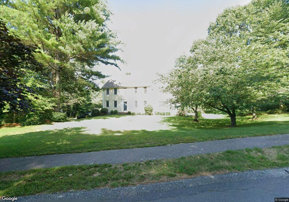
77 Aunt Lizzies Ln Marshfield, MA 02050
Estimated Value: $1,097,254 - $1,203,000
4
Beds
3
Baths
2,454
Sq Ft
$463/Sq Ft
Est. Value
About This Home
This home is located at 77 Aunt Lizzies Ln, Marshfield, MA 02050 and is currently estimated at $1,135,064, approximately $462 per square foot. 77 Aunt Lizzies Ln is a home located in Plymouth County with nearby schools including Governor Edward Winslow School, Furnace Brook Middle School, and Marshfield High School.
Ownership History
Date
Name
Owned For
Owner Type
Purchase Details
Closed on
Nov 21, 2019
Sold by
Scanlon John R and Scanlon Christine M
Bought by
Todd Patrick J and Todd Caroline J
Current Estimated Value
Create a Home Valuation Report for This Property
The Home Valuation Report is an in-depth analysis detailing your home's value as well as a comparison with similar homes in the area
Home Values in the Area
Average Home Value in this Area
Purchase History
| Date | Buyer | Sale Price | Title Company |
|---|---|---|---|
| Todd Patrick J | $673,000 | -- |
Source: Public Records
Tax History Compared to Growth
Tax History
| Year | Tax Paid | Tax Assessment Tax Assessment Total Assessment is a certain percentage of the fair market value that is determined by local assessors to be the total taxable value of land and additions on the property. | Land | Improvement |
|---|---|---|---|---|
| 2025 | $8,505 | $859,100 | $320,500 | $538,600 |
| 2024 | $8,275 | $796,400 | $305,200 | $491,200 |
| 2023 | $7,896 | $711,000 | $283,400 | $427,600 |
| 2022 | $7,896 | $609,700 | $250,700 | $359,000 |
| 2021 | $7,571 | $574,000 | $250,700 | $323,300 |
| 2020 | $7,176 | $538,300 | $228,900 | $309,400 |
| 2019 | $6,966 | $520,600 | $228,900 | $291,700 |
| 2018 | $6,883 | $514,800 | $228,900 | $285,900 |
| 2017 | $6,800 | $495,600 | $228,900 | $266,700 |
| 2016 | $6,629 | $477,600 | $228,900 | $248,700 |
| 2015 | $6,269 | $471,700 | $228,900 | $242,800 |
| 2014 | $6,190 | $465,800 | $228,900 | $236,900 |
Source: Public Records
Map
Nearby Homes
- 5 Adelaide Way
- 90 Presidential Cir
- 184 King Phillips Pathe
- 713 Webster St
- 431 Moraine St
- 74 Abrams Hill Rd
- 68 Abrams Hill Rd
- 33 Herring Weir Rd
- 32 Gratto Rd
- 106 Careswell St
- 9 S Pasture Ln
- 30 Chandler Dr
- 71 Gurnet Rd
- 15 Lady Slipper Ln
- 387 Lot 2A Old Cove Rd
- 387 Lot 3A Old Cove Rd
- 387 Lot 4A Old Cove Rd
- 10 Hawthorn Hill
- 5 Maple Ln Unit 5
- 39 Bay Pond Rd
- 77 Aunt Lizzie's Ln
- 55 Aunt Lizzies Ln
- 126 Pilgrim Trail
- 76 Aunt Lizzies Ln
- 66 Aunt Lizzies Ln
- 54 Aunt Lizzies Ln
- 99 Pilgrim Trail
- 90 Aunt Lizzie's Ln
- 90 Aunt Lizzies Ln
- 23 Aunt Lizzies Ln
- 23 Aunt Lizzie's Ln
- 103 Aunt Lizzies Ln
- 7 Aunt Lizzies Ln
- 47 Appleton Waye
- 38 Aunt Lizzies Ln
- 109 Aunt Lizzies Ln
- 26 Aunt Lizzies Ln
- 112 Aunt Lizzies Ln
- 1 Campbells Path
- 37 Grace Ln