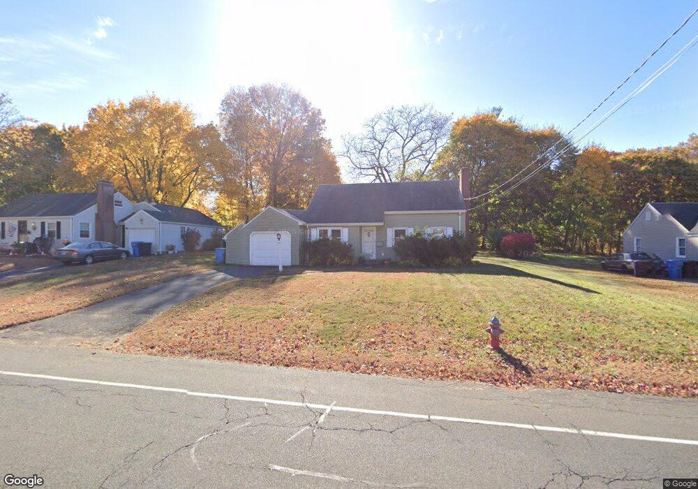
77 Barbour Rd New Britain, CT 06053
Estimated Value: $269,000 - $341,000
2
Beds
1
Bath
1,362
Sq Ft
$217/Sq Ft
Est. Value
About This Home
This home is located at 77 Barbour Rd, New Britain, CT 06053 and is currently estimated at $295,130, approximately $216 per square foot. 77 Barbour Rd is a home located in Hartford County with nearby schools including Holmes School, Pulaski Middle School, and St. Francis of Assisi Middle School.
Ownership History
Date
Name
Owned For
Owner Type
Purchase Details
Closed on
Jun 2, 2008
Sold by
Est Bjorklund Elsie F and Moriarty Nancy B
Bought by
Peel Gregory
Current Estimated Value
Home Financials for this Owner
Home Financials are based on the most recent Mortgage that was taken out on this home.
Original Mortgage
$119,200
Interest Rate
5.91%
Create a Home Valuation Report for This Property
The Home Valuation Report is an in-depth analysis detailing your home's value as well as a comparison with similar homes in the area
Home Values in the Area
Average Home Value in this Area
Purchase History
| Date | Buyer | Sale Price | Title Company |
|---|---|---|---|
| Peel Gregory | $149,000 | -- |
Source: Public Records
Mortgage History
| Date | Status | Borrower | Loan Amount |
|---|---|---|---|
| Open | Peel Gregory | $290,000 | |
| Closed | Peel Gregory | $111,145 | |
| Closed | Peel Gregory | $119,200 |
Source: Public Records
Tax History Compared to Growth
Tax History
| Year | Tax Paid | Tax Assessment Tax Assessment Total Assessment is a certain percentage of the fair market value that is determined by local assessors to be the total taxable value of land and additions on the property. | Land | Improvement |
|---|---|---|---|---|
| 2025 | $5,864 | $149,660 | $67,410 | $82,250 |
| 2024 | $5,925 | $149,660 | $67,410 | $82,250 |
| 2023 | $5,729 | $149,660 | $67,410 | $82,250 |
| 2022 | $5,003 | $101,080 | $31,080 | $70,000 |
| 2021 | $5,003 | $101,080 | $31,080 | $70,000 |
| 2020 | $5,105 | $101,080 | $31,080 | $70,000 |
| 2019 | $5,105 | $101,080 | $31,080 | $70,000 |
| 2018 | $5,105 | $101,080 | $31,080 | $70,000 |
| 2017 | $4,500 | $89,110 | $28,350 | $60,760 |
| 2016 | $4,500 | $89,110 | $28,350 | $60,760 |
| 2015 | $4,366 | $89,110 | $28,350 | $60,760 |
| 2014 | $4,366 | $89,110 | $28,350 | $60,760 |
Source: Public Records
Map
Nearby Homes
- 84 Barbour Rd
- 53 Park Dr
- 227 Amherst St
- 258 Eddy Glover Blvd
- 55 Alexander Rd
- 83 Kim Dr
- 34 Oneida St
- 335 Commonwealth Ave
- 90 Country Club Rd
- 57 Merigold Dr
- 164 Brittany Farms Rd Unit A
- 37 Recano Rd
- 91 Brighton St
- 187 Miriam Rd
- 40 Varmor Dr
- 1403 Stanley St
- 135 Village Square Dr Unit 1
- 394 Mcclintock St
- 1259 East St Unit A
- 1251 East St Unit F