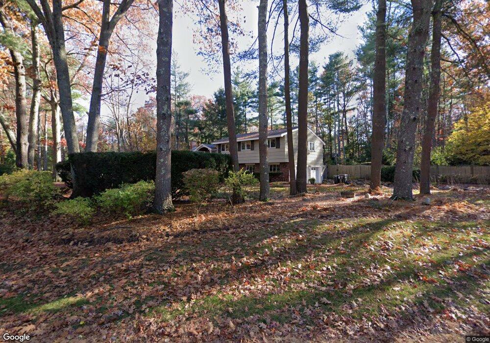
77 Barton Dr Sudbury, MA 01776
Estimated Value: $912,000 - $944,000
4
Beds
3
Baths
1,903
Sq Ft
$489/Sq Ft
Est. Value
About This Home
This home is located at 77 Barton Dr, Sudbury, MA 01776 and is currently estimated at $929,619, approximately $488 per square foot. 77 Barton Dr is a home located in Middlesex County with nearby schools including Peter Noyes Elementary School, Ephraim Curtis Middle School, and Lincoln-Sudbury Regional High School.
Ownership History
Date
Name
Owned For
Owner Type
Purchase Details
Closed on
Dec 5, 1997
Sold by
Beaudy-Losique J and Kane Kathleen M
Bought by
Filatov Lenoid and Filatova Olga S
Current Estimated Value
Home Financials for this Owner
Home Financials are based on the most recent Mortgage that was taken out on this home.
Original Mortgage
$230,000
Outstanding Balance
$39,083
Interest Rate
7.28%
Mortgage Type
Purchase Money Mortgage
Estimated Equity
$890,536
Purchase Details
Closed on
Sep 16, 1994
Sold by
Sabo Alex N and Truta-Sabo Susan
Bought by
Beaudry-Losique J and Kane Kathleen M
Purchase Details
Closed on
Jun 22, 1989
Sold by
Rymsha Anthony S
Bought by
Sabo Alex N
Create a Home Valuation Report for This Property
The Home Valuation Report is an in-depth analysis detailing your home's value as well as a comparison with similar homes in the area
Home Values in the Area
Average Home Value in this Area
Purchase History
| Date | Buyer | Sale Price | Title Company |
|---|---|---|---|
| Filatov Lenoid | $288,000 | -- | |
| Beaudry-Losique J | $275,000 | -- | |
| Sabo Alex N | $270,000 | -- |
Source: Public Records
Mortgage History
| Date | Status | Borrower | Loan Amount |
|---|---|---|---|
| Open | Sabo Alex N | $230,000 | |
| Previous Owner | Sabo Alex N | $252,000 |
Source: Public Records
Tax History
| Year | Tax Paid | Tax Assessment Tax Assessment Total Assessment is a certain percentage of the fair market value that is determined by local assessors to be the total taxable value of land and additions on the property. | Land | Improvement |
|---|---|---|---|---|
| 2025 | $12,255 | $837,100 | $417,900 | $419,200 |
| 2024 | $11,741 | $803,600 | $405,700 | $397,900 |
| 2023 | $11,675 | $740,300 | $375,700 | $364,600 |
| 2022 | $10,832 | $600,100 | $344,800 | $255,300 |
| 2021 | $10,392 | $551,900 | $344,800 | $207,100 |
| 2020 | $10,183 | $551,900 | $344,800 | $207,100 |
| 2019 | $9,885 | $551,900 | $344,800 | $207,100 |
| 2018 | $9,740 | $543,200 | $367,600 | $175,600 |
| 2017 | $9,122 | $514,200 | $349,700 | $164,500 |
| 2016 | $8,882 | $499,000 | $336,400 | $162,600 |
| 2015 | $8,360 | $475,000 | $323,500 | $151,500 |
| 2014 | $8,324 | $461,700 | $313,900 | $147,800 |
Source: Public Records
Map
Nearby Homes
- 53 Pine St
- 557 Dutton Rd Unit 2
- 30 Kendall Rd
- 11 Great Lake Dr
- 15 Harness Ln
- 30 Harness Ln
- 11 October Rd
- 62 Churchill St
- 22 Barracks Rd Unit 22
- 30 Rolling Ln
- 45 Webster Cir
- 123 Dutton Rd
- 0 Robbins Rd
- 15 Huckleberry Ln
- 0 Boston Post Rd
- 725 Boston Post Rd Unit 12
- 788 Main St
- 786 Main St
- 8 Shoreline Dr Unit 11
- 55 Widow Rites Ln
Your Personal Tour Guide
Ask me questions while you tour the home.