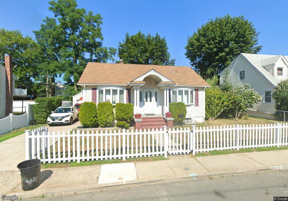
77 Biltmore Ave Elmont, NY 11003
Estimated Value: $594,981 - $665,000
--
Bed
1
Bath
832
Sq Ft
$757/Sq Ft
Est. Value
About This Home
This home is located at 77 Biltmore Ave, Elmont, NY 11003 and is currently estimated at $629,991, approximately $757 per square foot. 77 Biltmore Ave is a home located in Nassau County with nearby schools including Martin De Porres School.
Ownership History
Date
Name
Owned For
Owner Type
Purchase Details
Closed on
Nov 9, 1998
Current Estimated Value
Purchase Details
Closed on
Jul 10, 1995
Sold by
Debarros Irene and Debarros Manoel
Bought by
Debarros Irene
Home Financials for this Owner
Home Financials are based on the most recent Mortgage that was taken out on this home.
Original Mortgage
$79,200
Interest Rate
7.7%
Purchase Details
Closed on
Jul 3, 1995
Sold by
Emc Mortgage Corporation
Bought by
Debarros Irene and Debarros Manoel
Home Financials for this Owner
Home Financials are based on the most recent Mortgage that was taken out on this home.
Original Mortgage
$79,200
Interest Rate
7.7%
Create a Home Valuation Report for This Property
The Home Valuation Report is an in-depth analysis detailing your home's value as well as a comparison with similar homes in the area
Home Values in the Area
Average Home Value in this Area
Purchase History
| Date | Buyer | Sale Price | Title Company |
|---|---|---|---|
| -- | -- | -- | |
| Debarros Irene | -- | -- | |
| Debarros Irene | $99,000 | -- |
Source: Public Records
Mortgage History
| Date | Status | Borrower | Loan Amount |
|---|---|---|---|
| Previous Owner | Debarros Irene | $79,200 |
Source: Public Records
Tax History Compared to Growth
Tax History
| Year | Tax Paid | Tax Assessment Tax Assessment Total Assessment is a certain percentage of the fair market value that is determined by local assessors to be the total taxable value of land and additions on the property. | Land | Improvement |
|---|---|---|---|---|
| 2025 | $8,985 | $380 | $234 | $146 |
| 2024 | $3,321 | $380 | $234 | $146 |
| 2023 | $8,917 | $380 | $234 | $146 |
| 2022 | $8,917 | $380 | $234 | $146 |
| 2021 | $12,493 | $362 | $223 | $139 |
| 2020 | $10,112 | $721 | $554 | $167 |
| 2019 | $10,801 | $674 | $554 | $120 |
| 2018 | $9,446 | $674 | $0 | $0 |
| 2017 | $4,630 | $608 | $554 | $54 |
| 2016 | $7,612 | $608 | $554 | $54 |
| 2015 | $2,771 | $608 | $554 | $54 |
| 2014 | $2,771 | $608 | $554 | $54 |
| 2013 | $2,598 | $608 | $554 | $54 |
Source: Public Records
Map
Nearby Homes
- 80 Biltmore Ave
- 45 Warwick Rd
- 12 Biltmore Ave
- 86 Gotham Ave
- 164 Biltmore Ave
- 197 Biltmore Ave
- 7 Sterling Rd
- 86-B Gotham Ave
- 8 Savoy Ave
- 105 Claridge Ave
- 257 Biltmore Ave
- 56 Seville St
- 98 Locustwood Blvd
- 266 Biltmore Ave
- 91 Elzey Ave
- 171 Holland Ave
- 10 Cedar St
- 216 Elzey Ave
- 150 Heathcote Rd
- 220 Elzey Ave
- 75 Biltmore Ave
- 83 Biltmore Ave
- 65 Biltmore Ave
- 58 Fieldmere St
- 62 Fieldmere St
- 54 Fieldmere St
- 66 Fieldmere St
- 59 Biltmore Ave
- 78 Biltmore Ave Unit 2
- 78 Biltmore Ave
- 50 Fieldmere St
- 90 Biltmore Ave
- 70 Fieldmere St
- 62 Biltmore Ave
- 105 Biltmore Ave
- 46 Fieldmere St
- 98 Biltmore Ave
- 58 Biltmore Ave
- 49 Biltmore Ave
- 74 Fieldmere St