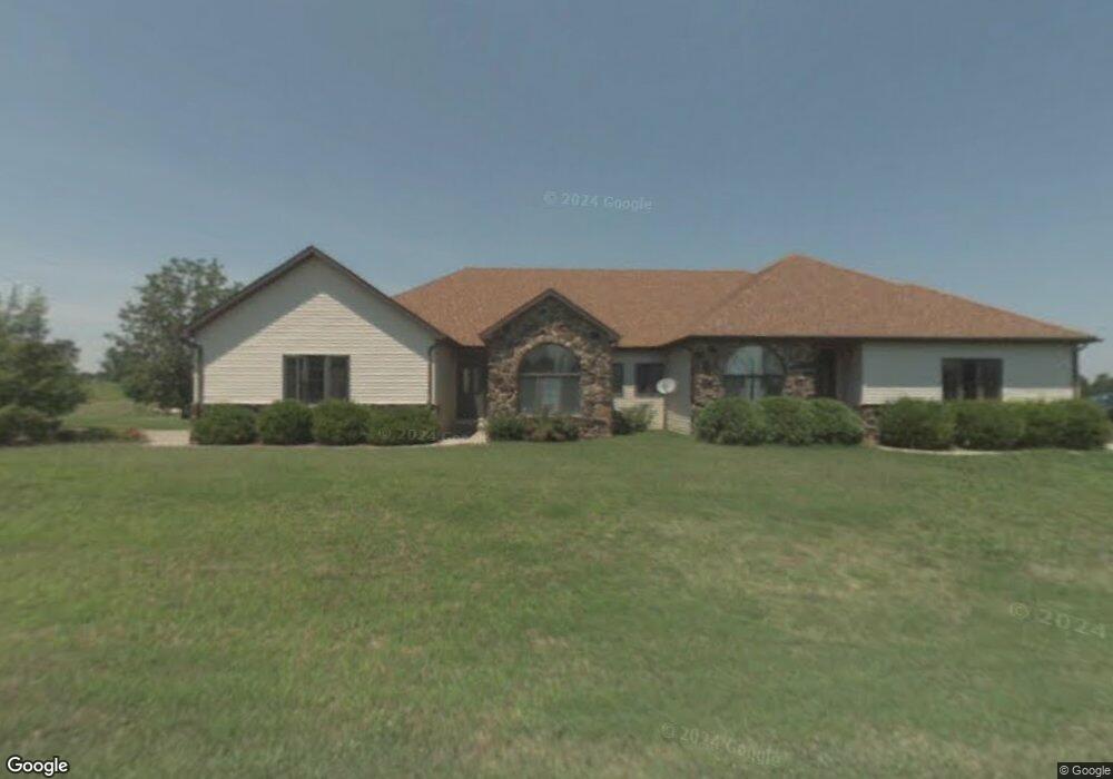
77 Birdie Ln Unit B Makanda, IL 62958
Estimated Value: $151,537 - $223,000
1
Bed
1
Bath
1,400
Sq Ft
$127/Sq Ft
Est. Value
About This Home
This home is located at 77 Birdie Ln Unit B, Makanda, IL 62958 and is currently estimated at $178,384, approximately $127 per square foot. 77 Birdie Ln Unit B is a home located in Jackson County with nearby schools including Unity Point Elementary School and Carbondale Community High School.
Ownership History
Date
Name
Owned For
Owner Type
Purchase Details
Closed on
Dec 9, 2022
Sold by
Gerken John J
Bought by
Post Christopher L and Angel-Post Lilia A
Current Estimated Value
Purchase Details
Closed on
Oct 26, 2018
Sold by
Vannatta Seth
Bought by
Gerken John J
Purchase Details
Closed on
Jul 24, 2006
Sold by
Starwalt Gary
Bought by
Vanatta Seth
Create a Home Valuation Report for This Property
The Home Valuation Report is an in-depth analysis detailing your home's value as well as a comparison with similar homes in the area
Purchase History
| Date | Buyer | Sale Price | Title Company |
|---|---|---|---|
| Post Christopher L | -- | None Listed On Document | |
| Gerken John J | $100,000 | -- | |
| Vanatta Seth | $265,500 | None Available |
Source: Public Records
Tax History
| Year | Tax Paid | Tax Assessment Tax Assessment Total Assessment is a certain percentage of the fair market value that is determined by local assessors to be the total taxable value of land and additions on the property. | Land | Improvement |
|---|---|---|---|---|
| 2024 | $3,082 | $40,715 | $9,119 | $31,596 |
| 2023 | $2,798 | $36,363 | $8,144 | $28,219 |
| 2022 | $3,380 | $34,724 | $7,777 | $26,947 |
| 2021 | $3,180 | $33,482 | $7,499 | $25,983 |
| 2020 | $5,068 | $54,835 | $7,632 | $47,203 |
| 2019 | $4,812 | $53,881 | $7,499 | $46,382 |
| 2018 | $4,569 | $53,881 | $7,499 | $46,382 |
| 2017 | $4,570 | $53,881 | $7,499 | $46,382 |
| 2016 | $5,211 | $61,953 | $14,252 | $47,701 |
| 2015 | -- | $61,953 | $14,252 | $47,701 |
| 2014 | -- | $64,853 | $14,252 | $50,601 |
| 2012 | -- | $64,853 | $14,252 | $50,601 |
Source: Public Records
Map
Nearby Homes
- Lot 26 Virginia Dr
- Lot 27 Virginia Dr
- 85 Maggie Ln
- 00 Old Us Highway 51
- Lot 28 U S Highway 51
- 000 U S Highway 51
- Lot 49 Stone Creek Dr
- Lot 22 Stone Creek Dr
- Lot 97 Stone Creek Dr
- Lot 87 Stone Creek Dr
- Lot 52 Stone Creek Dr
- 136 Stonelake Dr
- Lot 99 Bunker Rd
- 350 Oak Grove Rd
- 5 Cool Springs Rd
- 1143 N County Line Rd
- 000 Bogey Ln
- 378 Contentment Rd
- 159 Cashen Dr
- 310 Cross Creek Ln
Your Personal Tour Guide
Ask me questions while you tour the home.