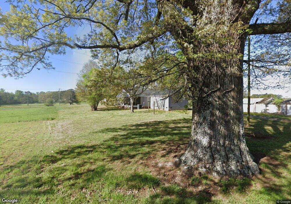
77 Blankenship Rd Cedartown, GA 30125
Estimated Value: $361,000 - $478,000
2
Beds
1
Bath
1,656
Sq Ft
$265/Sq Ft
Est. Value
About This Home
This home is located at 77 Blankenship Rd, Cedartown, GA 30125 and is currently estimated at $439,403, approximately $265 per square foot. 77 Blankenship Rd is a home located in Polk County.
Ownership History
Date
Name
Owned For
Owner Type
Purchase Details
Closed on
Feb 18, 2021
Sold by
Charcoal Investments Llc
Bought by
Davis Richard
Current Estimated Value
Purchase Details
Closed on
May 27, 2016
Sold by
Davis Richard
Bought by
Charcoal Investments Llc
Purchase Details
Closed on
Nov 3, 2015
Sold by
Blankenship Roy J
Bought by
Citifinancial Serving Llc
Purchase Details
Closed on
Sep 18, 1996
Sold by
Blankenship Roy J
Bought by
Blankenship Roy T and Blankenship Fannie B
Purchase Details
Closed on
Jul 5, 1995
Sold by
Blankenship Roy T and Blankenship Fannie B
Bought by
Blankenship Roy J
Purchase Details
Closed on
Jul 2, 1992
Sold by
Blankenship Roy T and Blankenship Fannie B
Bought by
Blankenship Roy J
Purchase Details
Closed on
Dec 16, 1949
Bought by
Blankenship R T
Create a Home Valuation Report for This Property
The Home Valuation Report is an in-depth analysis detailing your home's value as well as a comparison with similar homes in the area
Home Values in the Area
Average Home Value in this Area
Purchase History
| Date | Buyer | Sale Price | Title Company |
|---|---|---|---|
| Davis Richard | -- | -- | |
| Charcoal Investments Llc | -- | -- | |
| Davis Richard | $24,000 | -- | |
| Citifinancial Serving Llc | $23,603 | -- | |
| Blankenship Roy T | -- | -- | |
| Blankenship Roy J | -- | -- | |
| Blankenship Roy J | -- | -- | |
| Blankenship R T | -- | -- |
Source: Public Records
Tax History Compared to Growth
Tax History
| Year | Tax Paid | Tax Assessment Tax Assessment Total Assessment is a certain percentage of the fair market value that is determined by local assessors to be the total taxable value of land and additions on the property. | Land | Improvement |
|---|---|---|---|---|
| 2024 | $1,266 | $60,582 | $7,382 | $53,200 |
| 2023 | $1,002 | $42,238 | $7,382 | $34,856 |
| 2022 | $801 | $33,770 | $4,921 | $28,849 |
| 2021 | $369 | $15,333 | $4,921 | $10,412 |
| 2020 | $369 | $15,333 | $4,921 | $10,412 |
| 2019 | $457 | $17,005 | $4,921 | $12,084 |
| 2018 | $458 | $16,637 | $4,921 | $11,716 |
| 2017 | $453 | $16,637 | $4,921 | $11,716 |
| 2016 | $464 | $17,054 | $5,338 | $11,716 |
| 2015 | $471 | $17,246 | $5,338 | $11,908 |
| 2014 | $474 | $17,246 | $5,338 | $11,908 |
Source: Public Records
Map
Nearby Homes
- 94 Wimberly Hill Loop
- 200 Kelly Rd
- 387 Lindsey Chapel Rd
- 3323 Rockmart Hwy
- 536 Wimberly Hill Rd
- 728 Hutto Rd
- 247 Grady Rd
- 256 Cuzzort Rd
- 600 Grady Rd
- 1522 Collard Valley Rd
- 2705 Collard Valley Rd
- 0 Richard Pullen Rd Unit 10577442
- 0 Richard Pullen Rd Unit 7626794
- 0 Benefield Rd Unit 7479734
- 0 Benefield Rd Unit 10405501
- 0 Blanche Rd Unit 10609468
- 0 Blanche Rd Unit 7652978
- 209 Ridgewood Rd
- 618 Valley Rd
- 202 Ridgewood Rd
- 68 Blankenship Rd
- 125 Blankenship Rd
- 25 Blankenship Rd
- 0 Floyd Way
- 0 Floyd Way Unit 7019683
- 0 Floyd Way Unit 2878789
- 2532 Rockmart Hwy
- 26 Floyd Way
- 2659 Rockmart Hwy
- 2520 Rockmart Hwy
- 2638 Rockmart Hwy
- 52 Floyd Way
- 2679 Rockmart Hwy
- 0 Ledbetter Rd
- 0 Ledbetter Rd Unit 7149159
- 0 Ledbetter Rd Unit 7625165
- 0 Ledbetter Rd Unit 8187392
- 0 Ledbetter Rd Unit 8825762
- 0 Ledbetter Rd Unit 8773338
- 114 Substation Rd