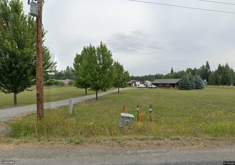
77 Blue Sky Rd Unit 81 Blue Sky Rd Bonners Ferry, ID 83805
Estimated Value: $721,000 - $870,000
3
Beds
3
Baths
1,896
Sq Ft
$419/Sq Ft
Est. Value
About This Home
This home is located at 77 Blue Sky Rd Unit 81 Blue Sky Rd, Bonners Ferry, ID 83805 and is currently estimated at $794,650, approximately $419 per square foot. 77 Blue Sky Rd Unit 81 Blue Sky Rd is a home located in Boundary County with nearby schools including Bonners Ferry High School.
Ownership History
Date
Name
Owned For
Owner Type
Purchase Details
Closed on
Nov 6, 2017
Sold by
Stidham Kenneth M and Stidham Jennifer E
Bought by
Lovely Samuel
Current Estimated Value
Home Financials for this Owner
Home Financials are based on the most recent Mortgage that was taken out on this home.
Original Mortgage
$323,910
Outstanding Balance
$270,629
Interest Rate
3.83%
Mortgage Type
New Conventional
Estimated Equity
$524,021
Create a Home Valuation Report for This Property
The Home Valuation Report is an in-depth analysis detailing your home's value as well as a comparison with similar homes in the area
Home Values in the Area
Average Home Value in this Area
Purchase History
| Date | Buyer | Sale Price | Title Company |
|---|---|---|---|
| Lovely Samuel | -- | Community Title Llc | |
| Lovely Samuel | -- | None Available |
Source: Public Records
Mortgage History
| Date | Status | Borrower | Loan Amount |
|---|---|---|---|
| Open | Lovely Samuel | $323,910 |
Source: Public Records
Tax History Compared to Growth
Tax History
| Year | Tax Paid | Tax Assessment Tax Assessment Total Assessment is a certain percentage of the fair market value that is determined by local assessors to be the total taxable value of land and additions on the property. | Land | Improvement |
|---|---|---|---|---|
| 2025 | $3,691 | $841,490 | $256,940 | $584,550 |
| 2024 | $3,691 | $825,910 | $249,280 | $576,630 |
| 2023 | $3,575 | $839,060 | $220,090 | $618,970 |
| 2022 | $3,241 | $811,040 | $158,300 | $652,740 |
| 2021 | $2,709 | $477,300 | $105,910 | $371,390 |
| 2020 | $2,709 | $449,060 | $100,190 | $348,870 |
| 2019 | $2,764 | $351,300 | $65,750 | $285,550 |
| 2018 | $2,765 | $331,810 | $65,750 | $266,060 |
| 2017 | $2,240 | $282,720 | $47,620 | $235,100 |
| 2016 | $2,074 | $249,880 | $47,470 | $202,410 |
| 2015 | $2,025 | $47,470 | $47,470 | $0 |
| 2014 | $1,852 | $47,180 | $47,180 | $0 |
| 2013 | -- | $46,820 | $46,820 | $0 |
Source: Public Records
Map
Nearby Homes
- 77 Blue Sky Rd
- 135 Blue Sky Rd
- 290 Shamrock Rd
- 228 Shamrock Rd
- 175 Blue Sky Rd
- 162 Shamrock Rd
- 334 Shamrock Rd
- 78 Stellar Jay Rd
- 94 Shamrock Rd
- 368 Shamrock Rd
- 24 Stellar Jay Rd
- 144 Stellar Jay Rd
- 86 Quail Dr
- 10 Stellar Jay Rd
- 8 Stellar Jay Rd
- 6 Stellar Jay Rd
- 600 Stellar Jay Rd
- 405 Stellar Jay Rd
- Tract 6 Stellar Jay Rd
- Tract 9 Stellar Jay Rd