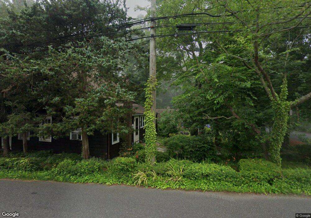
77 Brookside Rd Darien, CT 06820
Estimated Value: $1,349,000 - $2,206,000
4
Beds
3
Baths
4,864
Sq Ft
$376/Sq Ft
Est. Value
About This Home
This home is located at 77 Brookside Rd, Darien, CT 06820 and is currently estimated at $1,830,872, approximately $376 per square foot. 77 Brookside Rd is a home located in Fairfield County with nearby schools including Royle Elementary School, Middlesex Middle School, and Darien High School.
Ownership History
Date
Name
Owned For
Owner Type
Purchase Details
Closed on
Feb 18, 2026
Sold by
Delarivera Deborah J and Delarivera Bernard
Bought by
Delarivera Deborah J and Delarivera Bernard
Current Estimated Value
Purchase Details
Closed on
Jan 28, 2026
Sold by
Mulvihill Pamela
Bought by
Delarivera Deborah J
Purchase Details
Closed on
Jan 23, 2026
Sold by
Jelliffe David
Bought by
Delarivera Deborah J
Purchase Details
Closed on
May 29, 2012
Sold by
Jelliffe Gordon and Jelliffe Alta H
Bought by
Delarivera Deborah J and Delarivera Bernard
Home Financials for this Owner
Home Financials are based on the most recent Mortgage that was taken out on this home.
Original Mortgage
$208,000
Interest Rate
3.88%
Mortgage Type
New Conventional
Create a Home Valuation Report for This Property
The Home Valuation Report is an in-depth analysis detailing your home's value as well as a comparison with similar homes in the area
Home Values in the Area
Average Home Value in this Area
Purchase History
| Date | Buyer | Sale Price | Title Company |
|---|---|---|---|
| Delarivera Deborah J | -- | -- | |
| Delarivera Deborah J | -- | -- | |
| Delarivera Deborah J | -- | -- | |
| Delarivera Deborah J | -- | -- | |
| Delarivera Deborah J | -- | -- |
Source: Public Records
Mortgage History
| Date | Status | Borrower | Loan Amount |
|---|---|---|---|
| Previous Owner | Delarivera Deborah J | $333,000 | |
| Previous Owner | Delarivera Deborah J | $208,000 | |
| Previous Owner | Delarivera Deborah J | $200,000 | |
| Previous Owner | Delarivera Deborah J | $100,000 |
Source: Public Records
Tax History
| Year | Tax Paid | Tax Assessment Tax Assessment Total Assessment is a certain percentage of the fair market value that is determined by local assessors to be the total taxable value of land and additions on the property. | Land | Improvement |
|---|---|---|---|---|
| 2025 | $10,555 | $681,870 | $442,120 | $239,750 |
| 2024 | $10,017 | $681,870 | $442,120 | $239,750 |
| 2023 | $9,010 | $511,630 | $316,120 | $195,510 |
| 2022 | $8,815 | $511,630 | $316,120 | $195,510 |
| 2021 | $8,616 | $511,630 | $316,120 | $195,510 |
| 2020 | $8,370 | $511,630 | $316,120 | $195,510 |
| 2019 | $8,427 | $511,630 | $316,120 | $195,510 |
| 2018 | $9,378 | $583,240 | $367,360 | $215,880 |
| 2017 | $9,425 | $583,240 | $367,360 | $215,880 |
| 2016 | $9,198 | $583,240 | $367,360 | $215,880 |
| 2015 | $8,953 | $583,240 | $367,360 | $215,880 |
| 2014 | $10,587 | $705,320 | $489,440 | $215,880 |
Source: Public Records
Map
Nearby Homes
- 6 Ward Ln Unit 6
- 9 Point o Woods Rd S
- 19 Circle Rd
- 25 Lakeside Ave
- 29 Richmond Dr
- 7 Buttonwood Ln
- 171 Raymond St
- 12 Dellwood Rd
- 20 Locust Hill Rd
- 2 Settlers Trail Unit 2
- 10 Stony Brook Rd
- 2 Red Rose Cir
- 97 Richards Ave Unit B10
- 105 Richards Ave Unit 1407
- 18 Winding Ln
- 14 5 Mile River Rd
- 9 Arnold Ln
- 26 Holly Ln
- 5 Shields Ln
- 6 Acorn Ln
- 25 Granaston Ln
- 57 Brookside Rd
- 29 Granaston Ln
- 70 Brookside Rd
- 4 Granaston Ln
- 19 Granaston Ln
- 33 Granaston Ln
- 78 Brookside Rd
- 62 Brookside Rd
- 80 Brookside Rd
- 81 Brookside Rd
- 45 Granaston Ln
- 8 Appletree Ln
- 54 Brookside Rd
- 6 Bates Farm Ln
- 5 Appletree Ln
- 28 Granaston Ln
- 30 Granaston Ln
- 26 Oak Crest
- 18 Granaston Ln
Your Personal Tour Guide
Ask me questions while you tour the home.