77 Cedar Creek Rd Sudbury, MA 01776
Estimated Value: $905,000 - $1,165,000
4
Beds
2
Baths
1,844
Sq Ft
$556/Sq Ft
Est. Value
About This Home
This home is located at 77 Cedar Creek Rd, Sudbury, MA 01776 and is currently estimated at $1,025,241, approximately $555 per square foot. 77 Cedar Creek Rd is a home located in Middlesex County with nearby schools including Josiah Haynes Elementary School, Ephraim Curtis Middle School, and Lincoln-Sudbury Regional High School.
Ownership History
Date
Name
Owned For
Owner Type
Purchase Details
Closed on
May 24, 1996
Sold by
Crampton Bruce and Crampton Linda
Bought by
Grimes Addison C and Grimes Robin O
Current Estimated Value
Home Financials for this Owner
Home Financials are based on the most recent Mortgage that was taken out on this home.
Original Mortgage
$251,750
Interest Rate
8.01%
Mortgage Type
Purchase Money Mortgage
Purchase Details
Closed on
Jun 27, 1988
Sold by
Bruso Bernard
Bought by
Crampton Bruce
Create a Home Valuation Report for This Property
The Home Valuation Report is an in-depth analysis detailing your home's value as well as a comparison with similar homes in the area
Home Values in the Area
Average Home Value in this Area
Purchase History
| Date | Buyer | Sale Price | Title Company |
|---|---|---|---|
| Grimes Addison C | $265,000 | -- | |
| Grimes Addison C | $265,000 | -- | |
| Crampton Bruce | $81,250 | -- |
Source: Public Records
Mortgage History
| Date | Status | Borrower | Loan Amount |
|---|---|---|---|
| Open | Crampton Bruce | $390,000 | |
| Closed | Crampton Bruce | $300,000 | |
| Closed | Crampton Bruce | $251,750 |
Source: Public Records
Tax History Compared to Growth
Tax History
| Year | Tax Paid | Tax Assessment Tax Assessment Total Assessment is a certain percentage of the fair market value that is determined by local assessors to be the total taxable value of land and additions on the property. | Land | Improvement |
|---|---|---|---|---|
| 2025 | $13,820 | $944,000 | $461,300 | $482,700 |
| 2024 | $13,335 | $912,700 | $447,700 | $465,000 |
| 2023 | $13,240 | $839,600 | $414,500 | $425,100 |
| 2022 | $12,312 | $682,100 | $380,100 | $302,000 |
| 2021 | $11,720 | $622,400 | $380,100 | $242,300 |
| 2020 | $11,483 | $622,400 | $380,100 | $242,300 |
| 2019 | $11,147 | $622,400 | $380,100 | $242,300 |
| 2018 | $10,819 | $603,400 | $400,100 | $203,300 |
| 2017 | $10,376 | $584,900 | $395,300 | $189,600 |
| 2016 | $10,100 | $567,400 | $380,100 | $187,300 |
| 2015 | $9,226 | $524,200 | $350,700 | $173,500 |
| 2014 | $9,181 | $509,200 | $340,300 | $168,900 |
Source: Public Records
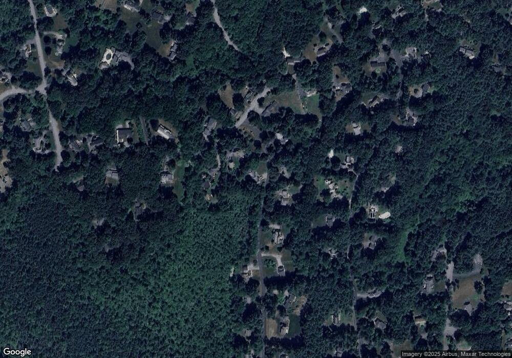
Map
Nearby Homes
- 16 Blacksmith Dr
- 67 Powder Mill Rd
- 42 Dakin Rd
- 369 Border Rd
- 57 Longfellow Rd
- 589 North Rd
- 29 Black Birch Ln Unit 29
- 9 Black Birch Ln Unit 9
- 96 Forest Ridge Rd Unit 96
- 5 Oak Ridge Dr Unit 7
- 10 Oak Ridge Dr Unit 5
- 40 Rookery Ln Unit 5
- 72 Rookery Ln Unit 3
- 401 Emery Ln Unit 104
- 5 Taintor Dr
- 80 N Branch Rd
- 250 Great Rd
- 24 Rookery Ln Unit 6
- 56 Rookery Ln Unit 4
- 5 Hayes St Unit 5
- 120 Powers Rd
- 78 Cedar Creek Rd
- 70 Cedar Creek Rd
- 112 Powers Rd
- 84 Cedar Creek Rd
- 62 Cedar Creek Rd
- 130 Powers Rd
- 130 Powers Rd Unit 1
- 115 Powers Rd
- 91 Willard Grant Rd
- 125 Powers Rd
- 83 Willard Grant Rd
- 106 Powers Rd
- 97 Willard Grant Rd
- 54 Cedar Creek Rd
- 105 Powers Rd
- 53 Cedar Creek Rd
- 142 Powers Rd
- 77 Willard Grant Rd
- 105 Willard Grant Rd