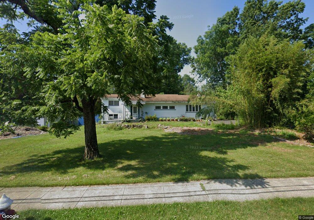
77 Cedar Grove Rd Branchburg, NJ 08876
Branchburg Township NeighborhoodEstimated Value: $578,000
--
Bed
--
Bath
2,176
Sq Ft
$266/Sq Ft
Est. Value
About This Home
This home is located at 77 Cedar Grove Rd, Branchburg, NJ 08876 and is currently estimated at $578,000, approximately $265 per square foot. 77 Cedar Grove Rd is a home located in Somerset County with nearby schools including Whiton Elementary School, Stony Brook School, and Branchburg Central Middle School.
Ownership History
Date
Name
Owned For
Owner Type
Purchase Details
Closed on
Jun 16, 2007
Sold by
Elliott Clarissa M and Mallory Naomi S
Bought by
Zhao Zheng and Chen Yuwen
Current Estimated Value
Home Financials for this Owner
Home Financials are based on the most recent Mortgage that was taken out on this home.
Original Mortgage
$262,400
Interest Rate
5.37%
Mortgage Type
Purchase Money Mortgage
Create a Home Valuation Report for This Property
The Home Valuation Report is an in-depth analysis detailing your home's value as well as a comparison with similar homes in the area
Home Values in the Area
Average Home Value in this Area
Purchase History
| Date | Buyer | Sale Price | Title Company |
|---|---|---|---|
| Zhao Zheng | $328,000 | First American Title Ins Co |
Source: Public Records
Mortgage History
| Date | Status | Borrower | Loan Amount |
|---|---|---|---|
| Previous Owner | Zhao Zheng | $262,400 |
Source: Public Records
Tax History Compared to Growth
Tax History
| Year | Tax Paid | Tax Assessment Tax Assessment Total Assessment is a certain percentage of the fair market value that is determined by local assessors to be the total taxable value of land and additions on the property. | Land | Improvement |
|---|---|---|---|---|
| 2025 | $7,270 | $435,200 | $154,200 | $281,000 |
| 2024 | $7,270 | $403,000 | $154,200 | $248,800 |
| 2023 | $7,054 | $377,000 | $154,200 | $222,800 |
| 2022 | $7,054 | $361,000 | $154,200 | $206,800 |
| 2021 | $7,302 | $345,400 | $154,200 | $191,200 |
| 2020 | $7,376 | $344,200 | $154,200 | $190,000 |
| 2019 | $7,342 | $340,700 | $154,200 | $186,500 |
| 2018 | $7,239 | $335,000 | $149,200 | $185,800 |
| 2017 | $7,242 | $332,800 | $144,200 | $188,600 |
| 2016 | $7,271 | $332,000 | $144,200 | $187,800 |
| 2015 | $7,275 | $332,800 | $144,200 | $188,600 |
| 2014 | $7,143 | $330,700 | $144,200 | $186,500 |
Source: Public Records
Map
Nearby Homes
- 1601 Breckenridge Dr
- 232 River Rd
- 511 Red Crest Ln
- 5 Walnut Dr
- 203 Red Crest Ln
- 2 Carlisle Rd
- 46 Strawberry Hill Rd
- 185 Milltown Rd
- 3010 Doolittle Dr
- 2801 Doolittle Dr
- 11 Andover Ave
- 27 Fremont St
- 2512 Lindsley Rd
- 317 Old York Rd
- 10 Red Oak Way
- 15 Campbell Ct
- 2104 Doolittle Dr
- 507 Dunn Cir
- 6 Heritage Ct
- 19 Craft Farm Dr
- 75 Cedar Grove Rd
- 54 Cedar Grove Rd
- 73 Cedar Grove Rd
- 83 Cedar Grove Rd
- 74 Cedar Grove Rd
- 76 Cedar Grove Rd
- 82 Cedar Grove Rd
- 85 Cedar Grove Rd
- 69 Cedar Grove Rd
- 72 Cedar Grove Rd
- 70 Cedar Grove Rd
- 84 Cedar Grove Rd
- 88 Cedar Grove Rd
- 89 Cedar Grove Rd
- 67 Cedar Grove Rd
- 68 Cedar Grove Rd
- 90 Cedar Grove Rd
- 66 Cedar Grove Rd
- 63 Cedar Grove Rd
- 91 Cedar Grove Rd