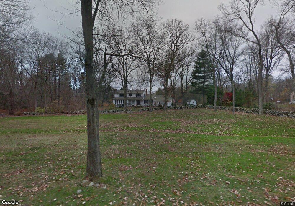
77 Cedar Ln New Canaan, CT 06840
Estimated Value: $1,886,000 - $2,035,000
4
Beds
3
Baths
2,851
Sq Ft
$685/Sq Ft
Est. Value
About This Home
This home is located at 77 Cedar Ln, New Canaan, CT 06840 and is currently estimated at $1,951,906, approximately $684 per square foot. 77 Cedar Ln is a home located in Fairfield County with nearby schools including East Elementary School, Saxe Middle School, and New Canaan High School.
Ownership History
Date
Name
Owned For
Owner Type
Purchase Details
Closed on
Sep 8, 1994
Sold by
White Gregory C and White Pamela J
Bought by
Fraser Gary R and Fraser Janet R
Current Estimated Value
Purchase Details
Closed on
May 16, 1991
Sold by
Todd Ernest and Todd Catherine
Bought by
White Gregory and White Pamela
Purchase Details
Closed on
Dec 28, 1989
Sold by
Knott Lois
Bought by
Slack Madelyn
Create a Home Valuation Report for This Property
The Home Valuation Report is an in-depth analysis detailing your home's value as well as a comparison with similar homes in the area
Home Values in the Area
Average Home Value in this Area
Purchase History
| Date | Buyer | Sale Price | Title Company |
|---|---|---|---|
| Fraser Gary R | $625,000 | -- | |
| White Gregory | $550,000 | -- | |
| Slack Madelyn | $250,000 | -- |
Source: Public Records
Mortgage History
| Date | Status | Borrower | Loan Amount |
|---|---|---|---|
| Open | Slack Madelyn | $300,000 | |
| Open | Slack Madelyn | $449,999 | |
| Closed | Slack Madelyn | $450,000 |
Source: Public Records
Tax History
| Year | Tax Paid | Tax Assessment Tax Assessment Total Assessment is a certain percentage of the fair market value that is determined by local assessors to be the total taxable value of land and additions on the property. | Land | Improvement |
|---|---|---|---|---|
| 2025 | $16,752 | $1,003,730 | $642,600 | $361,130 |
| 2024 | $16,200 | $1,003,730 | $642,600 | $361,130 |
| 2023 | $14,557 | $768,600 | $581,350 | $187,250 |
| 2022 | $14,119 | $768,600 | $581,350 | $187,250 |
| 2021 | $13,958 | $768,600 | $581,350 | $187,250 |
| 2020 | $13,958 | $768,600 | $581,350 | $187,250 |
| 2019 | $14,019 | $768,600 | $581,350 | $187,250 |
| 2018 | $11,764 | $693,630 | $571,900 | $121,730 |
| 2017 | $11,563 | $693,630 | $571,900 | $121,730 |
| 2016 | $11,313 | $693,630 | $571,900 | $121,730 |
| 2015 | $11,091 | $693,630 | $571,900 | $121,730 |
| 2014 | $10,779 | $693,630 | $571,900 | $121,730 |
Source: Public Records
Map
Nearby Homes
- 89 Pastures Ln
- 158L Carter St
- 152L Carter St
- 140L Carter St
- 136L Carter St
- 67 Carter St
- 35 Canoe Hill Rd
- 135 Comstock Hill Rd
- 42 Sturbridge Hill Rd
- 106A Comstock Hill Ave
- 16 Trails End Rd
- 164 Summer St Unit A
- 239 Silvermine Ave
- 113 Brushy Ridge Rd
- 6 Down River Rd Unit B
- 302 Gramercy Park Unit 302
- 377 Main St Unit 17
- 24 Grey Hollow Rd
- 60 East Ave
- 30L Huckleberry Hill Rd
Your Personal Tour Guide
Ask me questions while you tour the home.