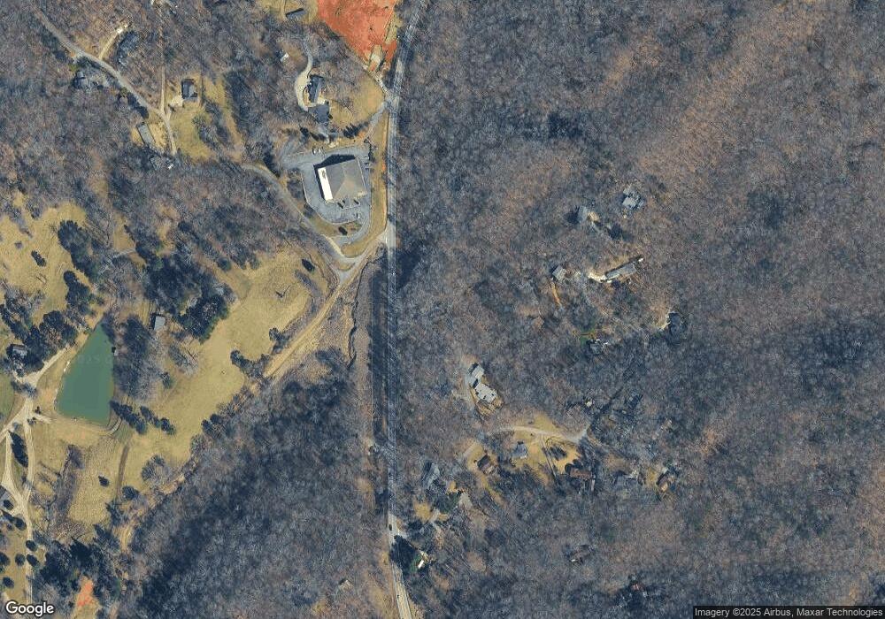
77 Chestatee Springs Ln Dahlonega, GA 30533
Estimated Value: $279,176 - $463,000
--
Bed
--
Bath
1,870
Sq Ft
$200/Sq Ft
Est. Value
About This Home
This home is located at 77 Chestatee Springs Ln, Dahlonega, GA 30533 and is currently estimated at $374,294, approximately $200 per square foot. 77 Chestatee Springs Ln is a home with nearby schools including Lumpkin County High School.
Ownership History
Date
Name
Owned For
Owner Type
Purchase Details
Closed on
Nov 24, 2009
Sold by
Brehe Kate
Bought by
Brehe Steven K
Current Estimated Value
Home Financials for this Owner
Home Financials are based on the most recent Mortgage that was taken out on this home.
Original Mortgage
$122,000
Outstanding Balance
$79,739
Interest Rate
4.94%
Mortgage Type
New Conventional
Estimated Equity
$294,555
Purchase Details
Closed on
Mar 30, 1998
Sold by
Smith Raymond
Bought by
Brehe Steven K
Purchase Details
Closed on
Sep 28, 1995
Sold by
Thomas Sylvia V
Bought by
Smith Raymond
Purchase Details
Closed on
Mar 15, 1994
Sold by
Wayne Eddie V
Bought by
Thomas Sylvia V
Purchase Details
Closed on
Jan 1, 1985
Bought by
Wayne Eddie V
Create a Home Valuation Report for This Property
The Home Valuation Report is an in-depth analysis detailing your home's value as well as a comparison with similar homes in the area
Home Values in the Area
Average Home Value in this Area
Purchase History
| Date | Buyer | Sale Price | Title Company |
|---|---|---|---|
| Brehe Steven K | -- | -- | |
| Brehe Steven K | $98,900 | -- | |
| Smith Raymond | $75,000 | -- | |
| Thomas Sylvia V | $69,900 | -- | |
| Wayne Eddie V | -- | -- |
Source: Public Records
Mortgage History
| Date | Status | Borrower | Loan Amount |
|---|---|---|---|
| Open | Brehe Steven K | $122,000 |
Source: Public Records
Tax History Compared to Growth
Tax History
| Year | Tax Paid | Tax Assessment Tax Assessment Total Assessment is a certain percentage of the fair market value that is determined by local assessors to be the total taxable value of land and additions on the property. | Land | Improvement |
|---|---|---|---|---|
| 2024 | $1,907 | $84,236 | $11,740 | $72,496 |
| 2023 | $1,396 | $78,910 | $11,740 | $67,170 |
| 2022 | $1,817 | $75,377 | $11,740 | $63,637 |
| 2021 | $1,571 | $63,352 | $11,740 | $51,612 |
| 2020 | $1,386 | $54,548 | $9,132 | $45,416 |
| 2019 | $1,399 | $54,548 | $9,132 | $45,416 |
| 2018 | $1,332 | $48,952 | $9,132 | $39,820 |
| 2017 | $1,321 | $47,675 | $9,132 | $38,543 |
| 2016 | $1,248 | $43,716 | $9,132 | $34,584 |
| 2015 | $1,126 | $43,716 | $9,132 | $34,584 |
| 2014 | $1,126 | $44,718 | $9,132 | $35,586 |
| 2013 | -- | $45,720 | $9,132 | $36,588 |
Source: Public Records
Map
Nearby Homes
- 131 Chestatee Springs Ridge
- 40 Chestatee Springs Rd
- 5195 S Chestatee
- TRACT1 Panorama Dr
- 0 Long Branch Rd Unit 10271720
- 0 Long Branch Rd Unit 10271266
- 0 Long Branch Rd Unit 7357871
- 00 Long Branch Rd
- 71 Quartz Way
- 67 Quartz Way
- 103 Rockhound Dr
- 70 Deerwood Cir
- 145 Hawks View
- 134 Rockhound Dr
- 0 Robinson Rd Unit 10597950
- 0 Robinson Rd Unit 7643549
- 6038 S Chestatee
- 1050 Robinson Rd
- 134 Prospector Ridge
- 270 Prospector Ridge
- 81 Silas Rd
- 147 Silas Rd
- 62 Silas Rd
- 420 Silas Rd
- 404 Silas Rd
- 150 Silas Rd
- 102 Silas Rd
- 56 Madeline Anthony Rd
- 426 Silas Rd
- 410 Silas Rd
- 30 Silas Rd
- 115 Silas Rd
- 195 Silas Rd
- 430 Silas Rd
- 400 Silas Rd
- 257 Fox Hollow Rd
- 229 Fox Hollow Rd
- 410 Silas Rd Unit 16
- 165 Fox Hollow Rd
- 30 Chestatee Springs Ln
