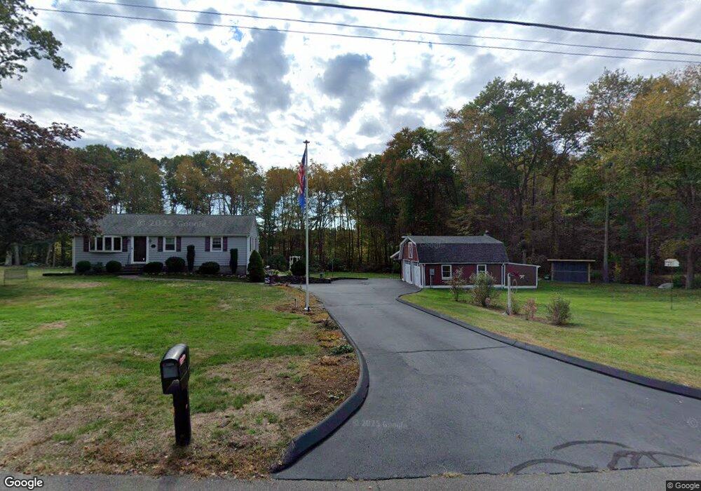
77 Childs Rd East Hampton, CT 06424
Estimated Value: $366,000 - $405,000
3
Beds
1
Bath
1,372
Sq Ft
$283/Sq Ft
Est. Value
About This Home
This home is located at 77 Childs Rd, East Hampton, CT 06424 and is currently estimated at $388,073, approximately $282 per square foot. 77 Childs Rd is a home located in Middlesex County with nearby schools including Memorial School, Center Elementary School, and East Hampton Middle School.
Ownership History
Date
Name
Owned For
Owner Type
Purchase Details
Closed on
Jan 22, 2010
Sold by
Dallas James G
Bought by
Dallas James G and Oconnor Maureen A
Current Estimated Value
Purchase Details
Closed on
Jul 14, 2006
Sold by
Wilson Marshall R
Bought by
Dallas James G
Purchase Details
Closed on
May 12, 1992
Sold by
Frost Raymond L and Frost Patricia S
Bought by
Wilson Marshall R
Purchase Details
Closed on
Dec 17, 1988
Sold by
Frosti Raymond G
Bought by
Frosti Raymond L
Purchase Details
Closed on
Jan 4, 1988
Sold by
Costa Donald E
Bought by
Frosti Raymond G
Create a Home Valuation Report for This Property
The Home Valuation Report is an in-depth analysis detailing your home's value as well as a comparison with similar homes in the area
Home Values in the Area
Average Home Value in this Area
Purchase History
| Date | Buyer | Sale Price | Title Company |
|---|---|---|---|
| Dallas James G | -- | -- | |
| Dallas James G | -- | -- | |
| Dallas James G | $260,000 | -- | |
| Dallas James G | $260,000 | -- | |
| Wilson Marshall R | $139,500 | -- | |
| Frosti Raymond L | $170,000 | -- | |
| Frosti Raymond G | $170,000 | -- |
Source: Public Records
Mortgage History
| Date | Status | Borrower | Loan Amount |
|---|---|---|---|
| Open | Frosti Raymond G | $196,000 | |
| Previous Owner | Frosti Raymond G | $35,000 |
Source: Public Records
Tax History
| Year | Tax Paid | Tax Assessment Tax Assessment Total Assessment is a certain percentage of the fair market value that is determined by local assessors to be the total taxable value of land and additions on the property. | Land | Improvement |
|---|---|---|---|---|
| 2025 | $6,554 | $165,040 | $58,520 | $106,520 |
| 2024 | $6,278 | $165,040 | $58,520 | $106,520 |
| 2023 | $5,951 | $165,040 | $58,520 | $106,520 |
| 2022 | $5,720 | $165,040 | $58,520 | $106,520 |
| 2021 | $5,699 | $165,040 | $58,520 | $106,520 |
| 2020 | $5,589 | $168,640 | $59,640 | $109,000 |
| 2019 | $5,584 | $168,500 | $61,310 | $107,190 |
| 2018 | $5,277 | $168,500 | $61,310 | $107,190 |
| 2017 | $5,277 | $168,500 | $61,310 | $107,190 |
| 2016 | $4,961 | $168,500 | $61,310 | $107,190 |
| 2015 | $4,458 | $160,480 | $61,540 | $98,940 |
| 2014 | $3,879 | $160,480 | $61,540 | $98,940 |
Source: Public Records
Map
Nearby Homes
- 3 Young St
- 29 Watrous St
- 4 Watrous St
- 1 Watrous St
- 14 Main St
- 27 Edgerton St
- 95 Tarragon Dr
- 8 Aldens Crossing
- Lot 2 Aldens Crossing
- 24 N Main St
- 43 E High St
- 226 W High St
- 18 Lake Blvd
- 30 Barbara Ave
- 104 Lake Vista Dr Unit 104
- 15 Waterview Cir
- 0002-6 Edgewater Cir
- 0002-7 Edgewater Cir
- 0002-5 Edgewater Cir
- 00023 Edgewater Cir
Your Personal Tour Guide
Ask me questions while you tour the home.