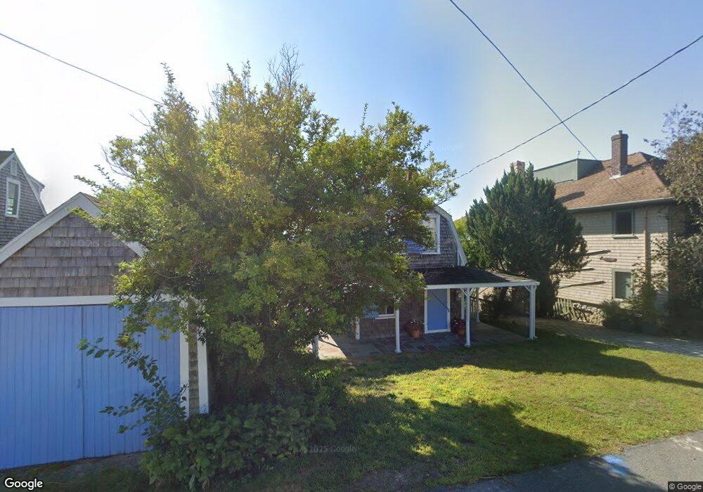
77 Collier Rd Scituate, MA 02066
Estimated Value: $1,198,000 - $1,396,000
1
Bed
2
Baths
504
Sq Ft
$2,583/Sq Ft
Est. Value
About This Home
This home is located at 77 Collier Rd, Scituate, MA 02066 and is currently estimated at $1,301,817, approximately $2,582 per square foot. 77 Collier Rd is a home located in Plymouth County with nearby schools including Jenkins Elementary School, Lester J. Gates Middle School, and Scituate High School.
Ownership History
Date
Name
Owned For
Owner Type
Purchase Details
Closed on
Dec 6, 2018
Sold by
Chase Laura M
Bought by
Mjtc Inc
Current Estimated Value
Home Financials for this Owner
Home Financials are based on the most recent Mortgage that was taken out on this home.
Original Mortgage
$584,396
Outstanding Balance
$514,865
Interest Rate
4.8%
Mortgage Type
New Conventional
Estimated Equity
$786,952
Purchase Details
Closed on
Dec 11, 2009
Sold by
Chase Mark F and Chase Laura M
Bought by
Chase Laura M
Purchase Details
Closed on
May 13, 1994
Sold by
Brown Alan C and Fox Christine H
Bought by
Chase Mark F and Chase Laura M
Purchase Details
Closed on
Mar 1, 1990
Sold by
Cartland Rachel W
Bought by
Brown Alan C
Home Financials for this Owner
Home Financials are based on the most recent Mortgage that was taken out on this home.
Original Mortgage
$85,000
Interest Rate
9.78%
Mortgage Type
Purchase Money Mortgage
Create a Home Valuation Report for This Property
The Home Valuation Report is an in-depth analysis detailing your home's value as well as a comparison with similar homes in the area
Home Values in the Area
Average Home Value in this Area
Purchase History
| Date | Buyer | Sale Price | Title Company |
|---|---|---|---|
| Mjtc Inc | $721,000 | -- | |
| Chase Laura M | -- | -- | |
| Chase Mark F | $130,000 | -- | |
| Brown Alan C | $115,000 | -- |
Source: Public Records
Mortgage History
| Date | Status | Borrower | Loan Amount |
|---|---|---|---|
| Open | Mjtc Inc | $584,396 | |
| Previous Owner | Brown Alan C | $85,000 |
Source: Public Records
Tax History
| Year | Tax Paid | Tax Assessment Tax Assessment Total Assessment is a certain percentage of the fair market value that is determined by local assessors to be the total taxable value of land and additions on the property. | Land | Improvement |
|---|---|---|---|---|
| 2025 | $10,910 | $1,092,100 | $999,500 | $92,600 |
| 2024 | $10,788 | $1,041,300 | $950,500 | $90,800 |
| 2023 | $9,238 | $944,900 | $864,100 | $80,800 |
| 2022 | $9,238 | $732,000 | $664,000 | $68,000 |
| 2021 | $9,178 | $688,500 | $632,400 | $56,100 |
| 2020 | $8,930 | $661,500 | $608,000 | $53,500 |
| 2019 | $9,654 | $702,600 | $670,600 | $32,000 |
| 2018 | $10,059 | $721,100 | $685,100 | $36,000 |
| 2017 | $9,712 | $689,300 | $653,300 | $36,000 |
| 2016 | $9,392 | $664,200 | $629,400 | $34,800 |
| 2015 | $7,657 | $584,500 | $549,700 | $34,800 |
Source: Public Records
Map
Nearby Homes
- 26 Damons Point Cir
- 59 Greenfield Ln
- 15 Bearce Ln
- 34 Ladds Way
- 55 Crescent Ave
- 76 Macombers Way
- 55 Macombers Way
- 19 Ford Place Unit 1
- 19 Ford Place Unit 2
- 50 First Parish Rd
- 48 Neal Gate St
- 21 Jenkins Place
- 91 Front St Unit 106
- 138 Judge Cushing Rd
- 14 Old Country Way Unit C
- 14 Old Country Way Unit B
- 9 Cushing Park Rd
- 25 Morton Place
- 17 Old Oaken Bucket Rd
- 23 Sunset Rd
- 79 Collier Rd
- 75 Collier Rd
- 76 Collier Rd
- 81 Collier Rd
- 75 Moorland Rd
- 74 Collier Rd
- 78 Moorland Rd
- 59 Moorland Rd
- 67 & 67B Collier Rd
- 68 Collier Rd
- 67 Collier Rd
- 67 Collier Rd
- 67 (New) Collier Rd
- 72 Moorland Rd
- 72 Moorland Rd Unit 1
- 62 Collier Rd
- 57 Moorland Rd
- 64 Moorland Rd
- 55 Moorland Rd
- 60 Collier Rd
Your Personal Tour Guide
Ask me questions while you tour the home.