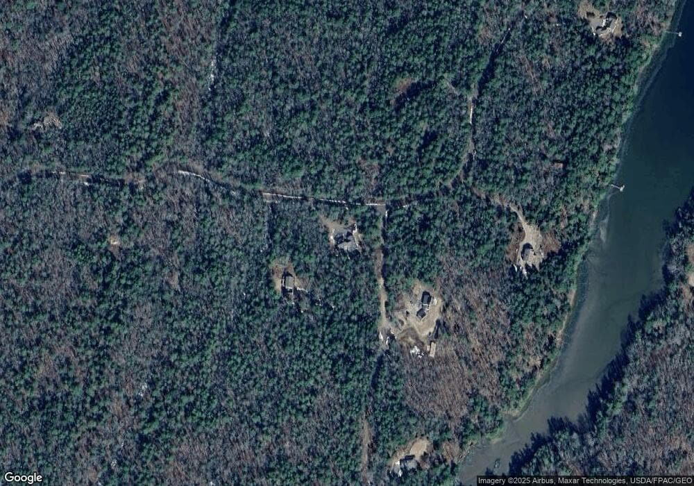
77 Cove Side Way Westport Island, ME 04578
Estimated Value: $773,128 - $859,000
2
Beds
--
Bath
3,082
Sq Ft
$263/Sq Ft
Est. Value
About This Home
This home is located at 77 Cove Side Way, Westport Island, ME 04578 and is currently estimated at $809,709, approximately $262 per square foot. 77 Cove Side Way is a home.
Ownership History
Date
Name
Owned For
Owner Type
Purchase Details
Closed on
Sep 6, 2017
Sold by
Whittemore Bruce W and Whittemore Suzanne
Bought by
Sewall Philip R and Erickson-Sewall Carla
Current Estimated Value
Home Financials for this Owner
Home Financials are based on the most recent Mortgage that was taken out on this home.
Original Mortgage
$300,000
Outstanding Balance
$249,455
Interest Rate
3.92%
Mortgage Type
New Conventional
Estimated Equity
$560,254
Create a Home Valuation Report for This Property
The Home Valuation Report is an in-depth analysis detailing your home's value as well as a comparison with similar homes in the area
Home Values in the Area
Average Home Value in this Area
Purchase History
| Date | Buyer | Sale Price | Title Company |
|---|---|---|---|
| Sewall Philip R | -- | -- | |
| Sewall Philip R | -- | -- | |
| Sewall Philip R | -- | -- |
Source: Public Records
Mortgage History
| Date | Status | Borrower | Loan Amount |
|---|---|---|---|
| Open | Sewall Philip R | $300,000 | |
| Closed | Sewall Philip R | $300,000 |
Source: Public Records
Tax History Compared to Growth
Tax History
| Year | Tax Paid | Tax Assessment Tax Assessment Total Assessment is a certain percentage of the fair market value that is determined by local assessors to be the total taxable value of land and additions on the property. | Land | Improvement |
|---|---|---|---|---|
| 2025 | $4,578 | $538,533 | $99,845 | $438,688 |
| 2024 | $3,623 | $489,575 | $90,768 | $398,807 |
| 2023 | $3,087 | $471,322 | $72,515 | $398,807 |
| 2022 | $3,207 | $386,329 | $59,438 | $326,891 |
| 2021 | $3,052 | $386,329 | $59,438 | $326,891 |
| 2020 | $3,129 | $386,329 | $59,438 | $326,891 |
| 2019 | $2,886 | $386,329 | $59,438 | $326,891 |
| 2018 | $2,550 | $386,329 | $59,438 | $326,891 |
| 2016 | $2,782 | $386,329 | $59,438 | $326,891 |
| 2014 | $3,686 | $490,783 | $0 | $0 |
| 2013 | $3,804 | $490,783 | $73,356 | $417,427 |
Source: Public Records
Map
Nearby Homes
- M4 L12.30B McCarty Cove Rd
- 0 Maine 144
- 19 Riverside Ave
- 44 Stone Point Ln
- 13 Porcupine Ln
- 23 Sunny Acres Ln
- 576 Back River Rd
- 91 Tree Farm Dr
- 712 Back River Rd
- 15 Lewis Dr
- 30 Taylor Rd
- 18 High Head Rd
- 44-4 Windrush Ln
- 27 Doggett Rd
- 17 Lester Rd
- 284 Hockomock Rd
- 124 Main Rd
- 43 Hockomock Rd
- 2 Ready Point Rd
- Lot 1 Sanders Rd
- 11 Peters Cove Ln
- 11 Peters Cove Ln
- 78 Cove Side Way
- 0 Peter's Cove Ln Unit 588841
- 0 Peter's Cove Ln Unit 1132347
- 18 Peters Cove Ln
- 18 Peter's Cove
- 18 Cove Side Way
- Lot 14.15B Cove Side Way
- Lot 14.15A Cove Side Way
- Lot #7B Cove Side Way
- 14.11A Cove Side Way
- 107 Cove Side Way
- Lot 14.2A Peters Cove
- 109 Cove Side Way
- 34 Peters Cove Ln
- 14.14B Cove Side Way
- 0 Sortwell Rd
- Lot 7B Cove Side Way
- 32 Cove Side Way
